 |
| Looking towards the summit of Fairfield – one of my best views from the days walking in the Lake District. The river in the foreground made for a nice little composition. It was also a great little place to stop off and grab a bite to eat. And because this Fairfield walking route isn’t one of the most well-known – we didn’t see anyone else in this valley. |
 |
Another of my best views of the day. While climbing to the summit of Fairfield – you get an excellent view over towards Helvellyn, which is the darker summit to the right – and Striding edge is coming in the picture from the left edge of the photo. The peak closest to us here is Dollywagon Pike, followed by Nethermost Pike – with Helvellyn in the far distance.
|
The full documented Fairfield walking route with photos
I’d had Fairfield on my list of places to walk for quite some time – but never got round to it. If this is the case for you – don’t wait as long as I did as the views from up there really are superb – and you can see lots of lakes and tarns as they seem to radiate out from the summit. We were very fortunate in that visibility was excellent so we could even see the Sea and Morcambe bay. I’d go a far to say that the views from Fairfield on a clear day are as good as any in the Lake District!
There are many routes up to Fairfield – and the one below is perhaps one of the lesser known, with many climbing to Fairfield from Rydal or Grasmere on the Horseshoe walk from there, or walking there via Grisedale or St. Sunday Crag.
What none of these routes give you though is the impressive view of the steep rocky eastern face of Fairfield from Deepdale valley (which you can see from the photo at the top of this page). Being a keen photographer – I always try to choose the more photogenic routes 🙂
You can see the full walking route below which is 8.2 miles.
 |
| The full Fairfield walking route for the day – which is 8.2 miles in total. Starting at the car park near Brothers Water, just south of Patterdale and going in an anti-clockwise direction. You could of course start in Patterdale itself. The route begins easily through Deepdale – and gets progressively steeper up the valley – with a scramble where you have to use your hands as it gets quite steep as you approach up towards Deepdale Hause. Once you reach Cofa Pike there isn’t much more left to climb and it’s quite leisurely. On the decent at Dove Crag again it is quite steep – but there are rocky steps to help you out here. All in all it’s a brilliant route – and a quieter, lesser known way to climb Fairfield – and you probably won’t see many people in Deepdale. The views from the summit of Fairfield are amazing in all directions – and well worth it. If you have any questions feel free to post a comment at the bottom of the page. |
The documented walking route with photos!
 |
| This is the car park where we started, which is near Brothers Water. It’s a free car park and there is room for about 30 cars maybe in this area and an adjoining car park. |
 |
| Taking the off road route to Bridgend |
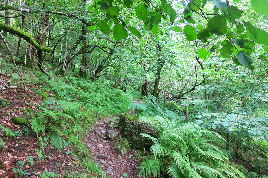 |
| The off road path – if you fancy an easier start to the walk and don’t fancy getting lost in the wood – just follow the road to the below point! |
 |
| You could walk on the road from the car park to here – and this minor road leads off the main road at Bridgend to Greenbank Farm and Deepdale Hause B&B. |
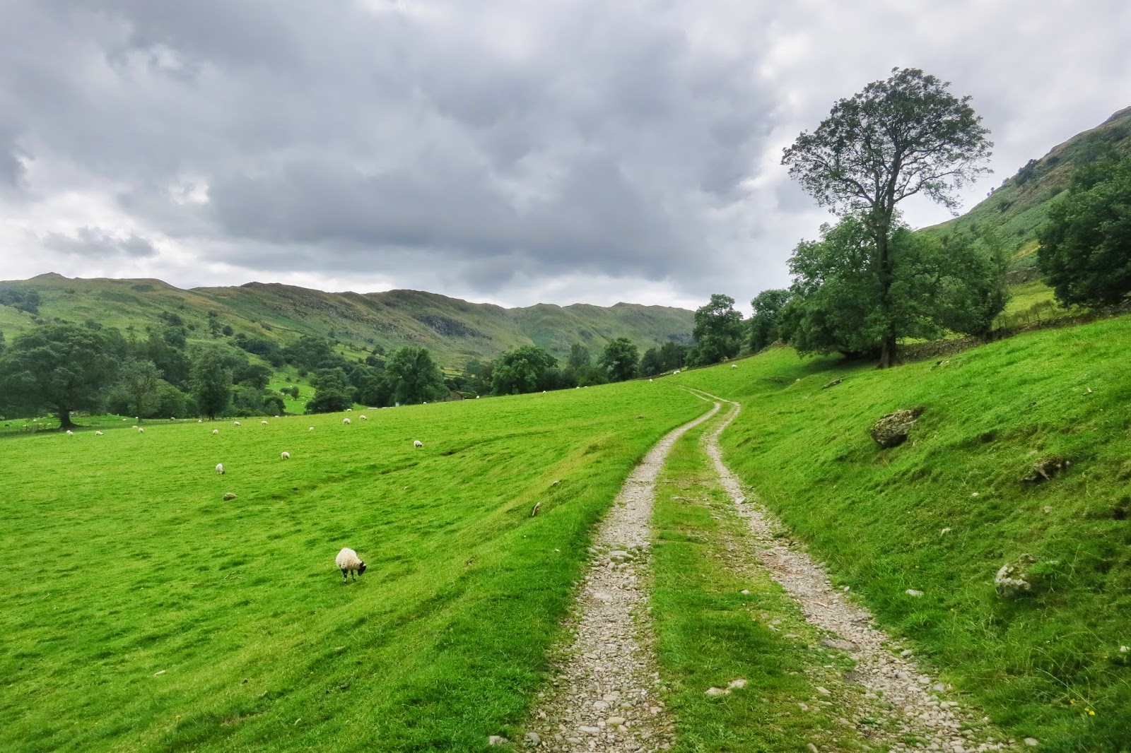 |
| It’s quite a leisurely stroll at the start of Deepdale |
 |
| First glimpse of Fairfield summit in the distance. |
 |
| A walk always seems more purposeful when the path follows a river to it’s source and I love the view of Fairfield above the river. I’d like to come back to this spot and photograph it with a roaring sunset in the background and a long exposure of the cascading water. Easier said than done though as you can’t predict a good sunset! |
 |
| The skies start to clear and we get glimpses of the sun. |
 |
| This is what i call free-range cows – how privileged are they to live here ha |
 |
| I absolutely loved this spot. We stayed here for a while just soaking up the view and eating some food. |
 |
| Looking towards the summit of Fairfield – one of my best views from the days walking in the Lake District. The river in the foreground made for a nice little composition. It was also a great little place to stop off. And because this Fairfield walking route isn’t one of the most well-known – we didn’t see anyone else in this valley. |
 |
| The cows also seemed to be attracted to the same viewing spot so as it’s their patch it was time to move on 🙂 |
 |
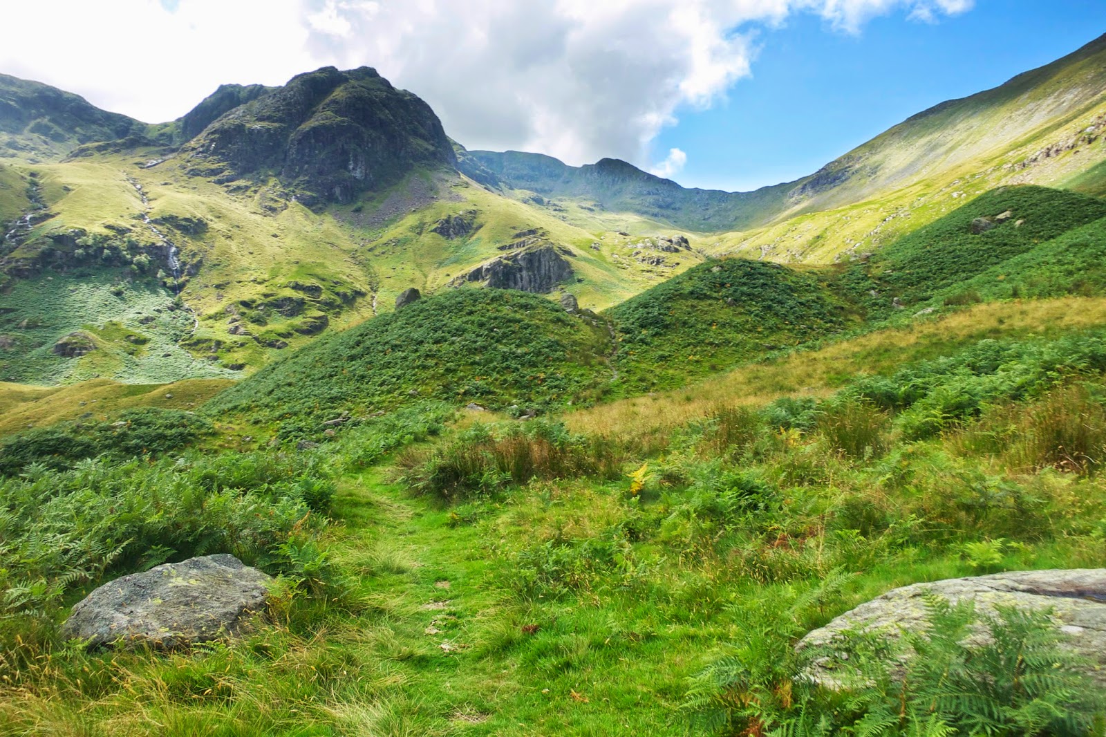
| Here we begin our climb towards Deepdale Hause – we had had it easy so far in terms of walking and things start to get a little steeper. |
 |
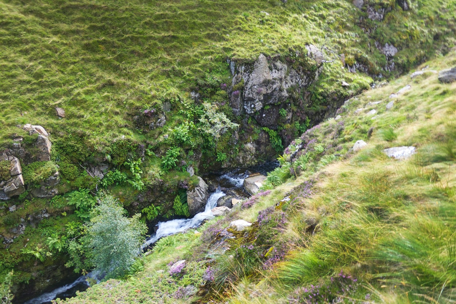
| The path is still following the river and there are some great little water falls along the way. |
 |
| Looking back over Deepdale valley. |
 |
| As we walk higher the skies darken and seem to fit the mood as we know we’ve got a hard bit of walking ahead haha |
 |
| Again looking back at the superb views |
 |
| This section of the walk is where things start to get really steep and you can just about make out the path towards Deepdale Hause in the little dip at the top of the ridge to the right-ceter of the photo. The camera gets put away as it’s time to get a sweat on and just get to the top haha |
 |
| Looking back over where we have walked from |
 |
| As you get to Deepdale Hause you get your first glimpse of the western fells and Grisedale Tarn. |
 |
| Impressive view – this is looking north towards Helvellyn in the distance. |
 |
| Again looking back to Deepdale Valley and where we have walked from! |
 |
| Another photo of Deepdale valley – but this time you can see the peak of St. Sunday Crag on the left |
 |
| Nearing the summit of Fairfield! |
 |
| Another of my best views of the day. While climbing to the summit of Fairfield – you get an excellent view over towards Helvellyn, which is the darker summit to the right – and Striding edge is coming in the picture from the right edge of the photo. The peak closest to us here is Dollywagon Pike, followed by Nethermost Pike – with Helvellyn in the far distance. |
 |
| Grisedale tarn again with more north-western fells coming into view |
 |
| Approaching the summit of Cofa Pike |
 |
| Another photo of St. Sunday Crag. I’ve walked that peak before otherwise it would have been another candidate for a route to Fairfield – I think most people who walk from Patterdale to Fairfield do it via St. Sunday Crag. The peak of Cof Pike is just to the right here and you can see a tint bit of Ullswater to the left of St. Sunday Crag with the Pennines in the distance. |
 |
| At last – from Cofa Pike we can see the summit of Fairfield – not far now! |
 |
| Looking back to Cofa Pike |
 |
| Another superb view of Helvellyn and striding edge |
 |
| As you approach the summit of Fairfield you can now glimpse the western fells. I think the tarn in the centre of the shot here is Easedale Tarn and Rydal water can just about be made out to the left centre |
 |
| Stunning views of Deepdale & st. Sunday crag from the summit of Fairfield! |
 |
| Another breath-taking view – looking towards Windermere in the centre with Coniston Water to the right. You can’t quite see it in the photo – but with the eye you could see Morcambe Bay too! |
 |
| In this photo you can see Rydal fell to the right – which is another popular route to walk to Fairfield. |
 |
| Here we begin our decent towards Dove Crag -which will then take us left |
 |
| This is Dove Crag the point where you head towards Dovedale to make your decent. |
 |
| It gets quite steep here – fortunately there are rocky steps – it’s still hard on the knees though! |
 |
| Looking back up to where we have came down from. |
 |
| There are also some great little waterfalls on this route down. |
 |
| As we get lower the walk gets easier and we stopped at the bridge here for quite a while to take the boots off, grab what was remaining of the food & water and just soaked up the sun. |
 |
| The path takes you straight under this knarled old tree |
 |
| We begin to lose the sun now over the distant fells – time to savour it with a couple of pics |
 |
| The last bit of this walking route takes you by Brothers Water – which looked amazing on such a calm and perfect sunny end to the day |
 |
| Here we glimpse the car park and our walk is coming to an end |
 |
| Looking back up towards brothers water. As the sun is still shining on the del tops – it gives me the idea of driving up to the Kirkstone Pass Inn for a nice little drink – good idea 🙂 |
Well that raps up this blog post – I hope you’ve enjoyed reading it as much as I enjoyed doing it to remind me of a cracking day’s walking. We were very lucky to get the weather we did – and with the day ending with not a cloud in the sky it just made you want to stay in the lakes on holiday – as when the weather is good – I don’t think there’s anywhere better!




0 Comments