BLENCATHRA WALK OVERVIEW:
DISTANCE: 5.1 miles
TIME: 3 hours
TOTAL ASCENT: 2197ft
DIFFICULTY: HARD & EXPOSED

BLENCATHRA WALK VIA SHARP EDGE
This Blencathra walk via Sharp Edge and Scales Tarn is a proper mountain day out, not a gentle wander. You can reach the start easily from the A66, and before long you’re climbing towards Scales Tarn, a glacial corrie lake cradled beneath towering Lake District crags. It’s a quiet, brooding place, a nice place to chill for a while, have a bite to eat and prepare yourself as the views up to Sharp Edge and Blencathra already give you a sense of how serious the terrain is going to get. The landscape feels raw and open, with big skies, steep slopes, and a real sense of space.
Then comes Sharp Edge — and it earns its reputation. This isn’t just a ridge, it’s a narrow spine of rock where you need your hands, your head, and your focus. It’s exposed, awkward in places, and properly exciting, with drops on both sides and views that pull your eye in every direction. It’s not to be done in bad weather (wet, icey, snow or windy) but when the weather plays ball – for many people, this is the highlight of the whole route: intense, unforgettable, challenging and for me the best way to complete a Blencathra walk. It’s not technical climbing, but it’s serious enough to feel like a real challenge, and you’ll get a real sense of satisfaction from tackling Sharp Edge.
Once you’re over Sharp Edge, the pull up to the summit feels well deserved. The ground eases, the views open out, and suddenly the whole northern Lakes seem to spread beneath you. From the top, you can see Skiddaw, Derwent Water, the Eden Valley, and layers of fells fading into the distance. It’s the kind of route that sticks with you — not because it’s pretty in a postcard way, but because it feels earned. Once at the summit and after the challenge of Sharp Edge I like the leisurely descent back to the start via the Scales Fell.
This Blencathra walk is about exposure, effort, and atmosphere, not just ticking off another summit. It’s one you will remember and one that has to be on your Lake District Hitlist.
Blencathra walk via Sharp Edge map route:

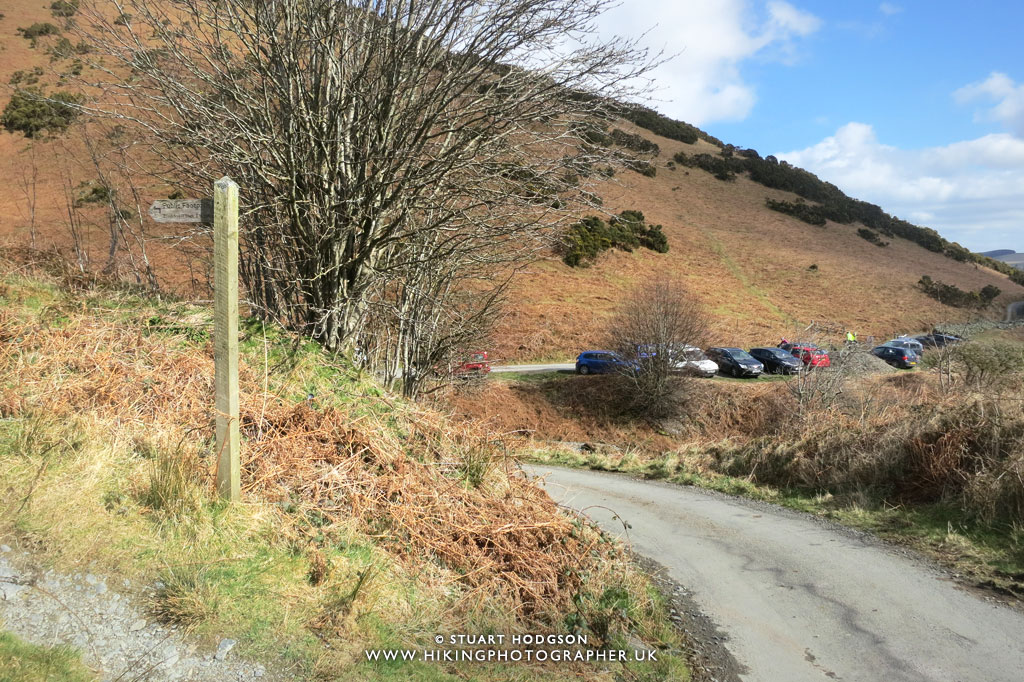
The walk starts from The White Horse Inn at Scales (parking for around 20 cars – get there early to bag a spot). Follow the minor road to sheepfold (I think this is the best way to start the walk and get on the footpath otherwise you have to double back on yourself quite a bit at Scales Farm – trust me haha). You then zig zag up Mousthwaite Comb – it’s quite a steep section and you’ll get a sweat on – once at the top of Mousthwaite Comb it’s more easy going to Scales Tarn, a lovely place to stop for a while and soak it all in. From ther you thne are up onto Sharp Edge – it’s exposed, potentially dangerous but very doable in good weather if you have a head for heights, with no need for any specialist equipment and great fun for those who like a scramble – like me! Once you’ve scrambled up Sharp Edge you’ll reach Atkinson Pike and there isnt much more ascent left to get to the true summit of Blencathra at Halls Fell Top. Take the time to admire the views (if you’re lucky!) and enjoy your food & drink. To get back dowen there are multiple options – you can go down Halls Fell Ridge (steep!) or continue on to eventually come down via Blease Fell. All worth trying out at some point – but my favourite way is via the more gentle Scales Fell which keeps the walk fairly short and you’ll get chnace to soak in more epic Lake District views!
 |
| What an exhilarating route this is – read on to find out what to expect! |
Blencathra walk – photos of what to expect:
 |
|
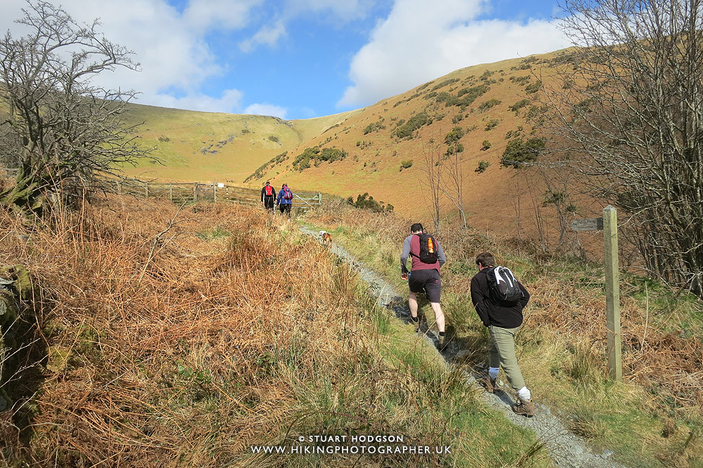
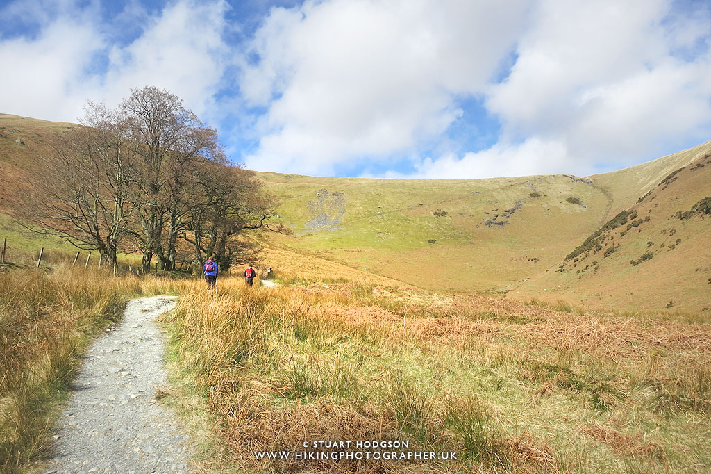
The footpath is well marked all the way up Moustwaite Comb
|
 |
|
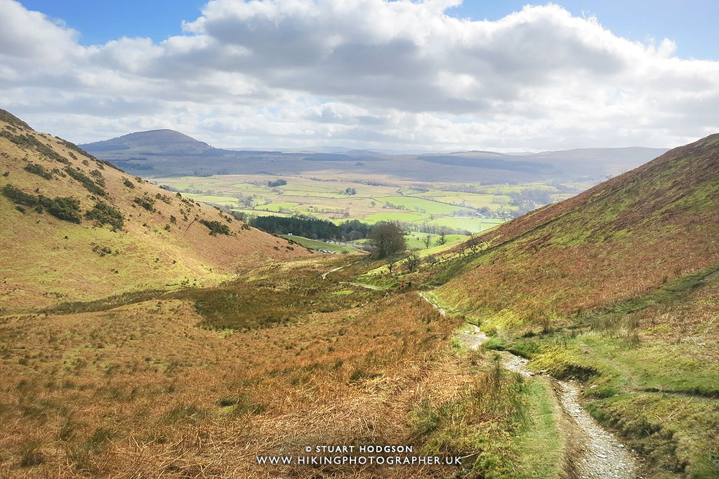
Taking a little breather and looking back towards the route we’ve just walked. You gain height very quickly on this section.
|
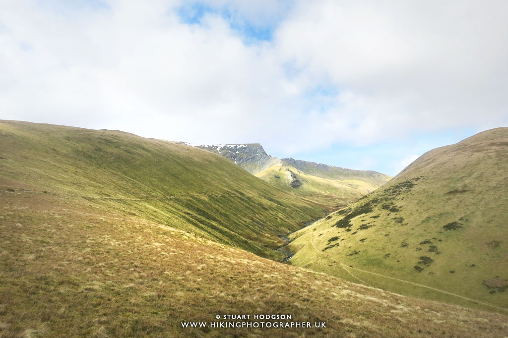 |
| Once at the top of Moustwaite Comb you get a glimpse of Sharp Edge and the summit of Atkinson Pike on Blencathra, with the path leading towards it. |
 |
|
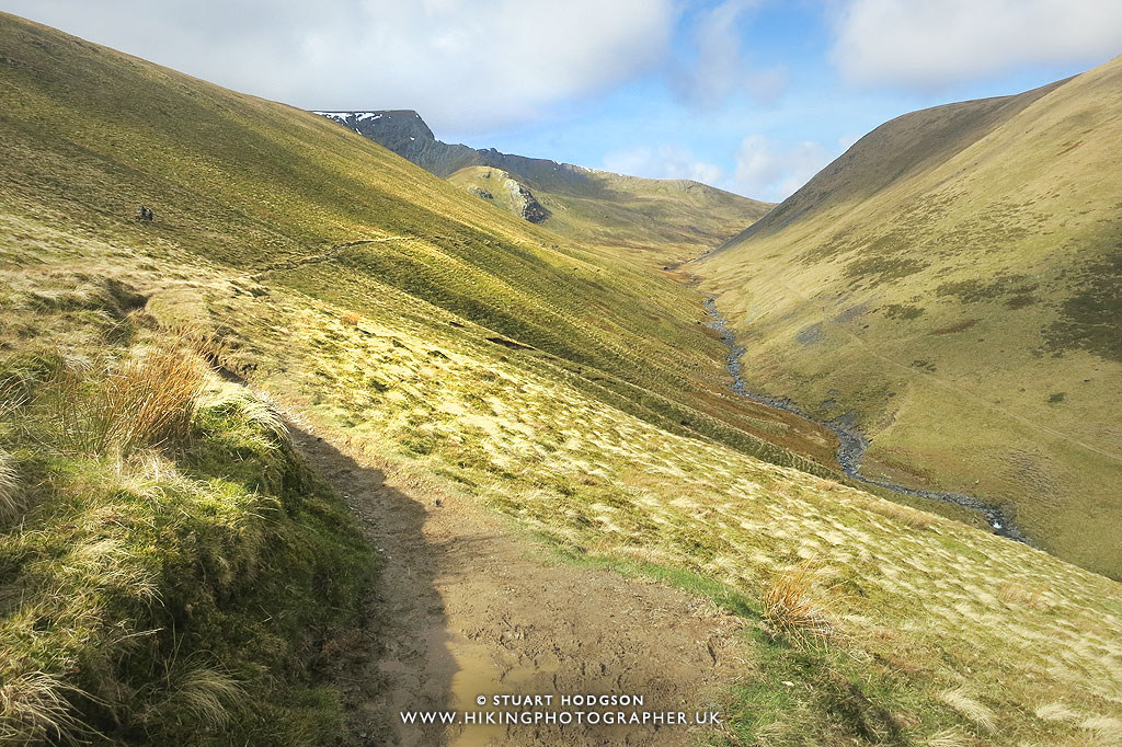
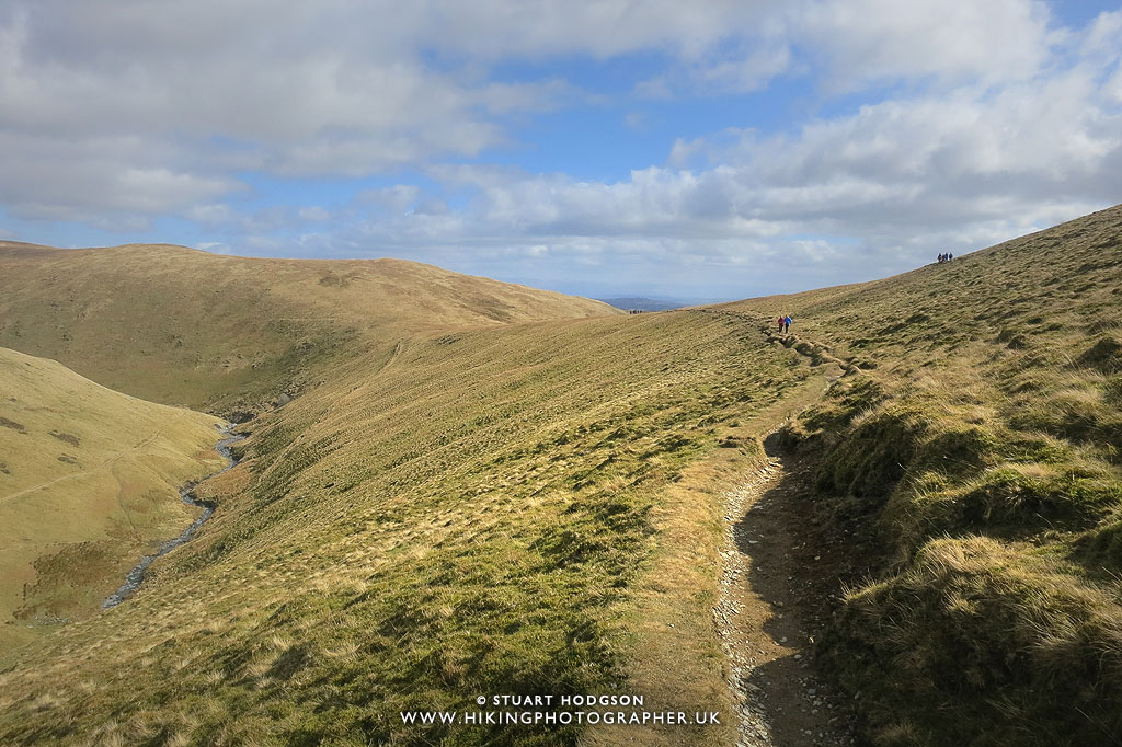
The path follow Scales Beck from above all the way to Scales Tarn and the path is very clear.
|
 |
|
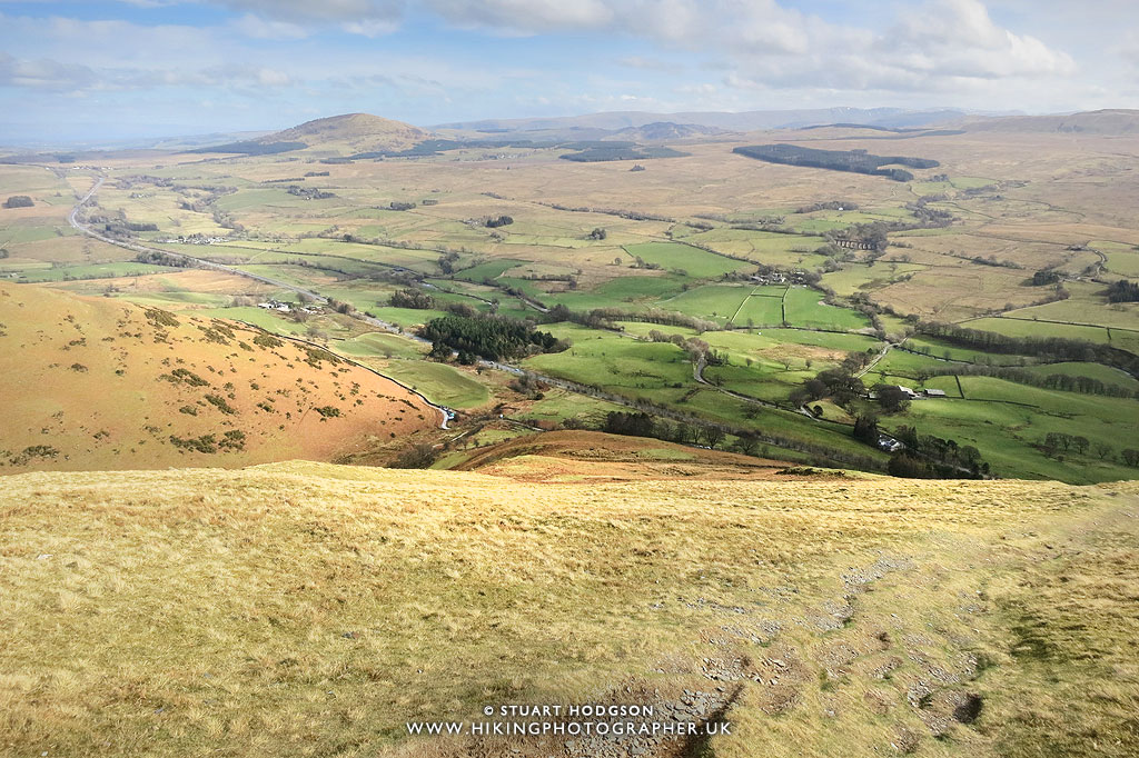
Looking back along the path – it’s a really clear day – perfect conditions!
|
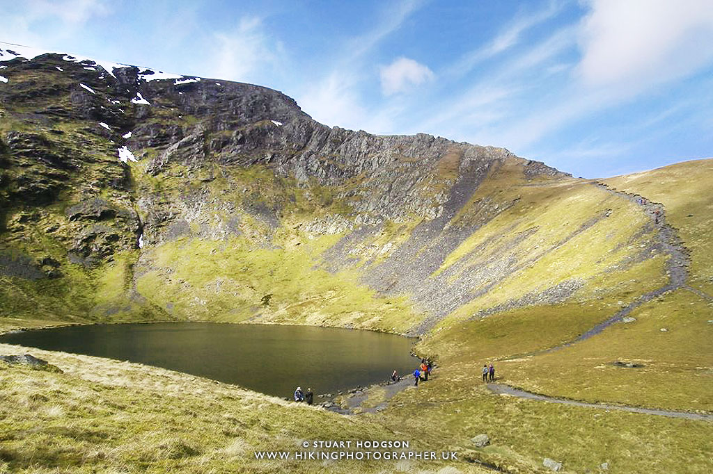 |
| Arriving at Scales Tarn – it’s a great little spot to take a break, have a cup of tea and something to eat whilst admiring the view and getting ready to tackle the mighty Sharp Edge |
 |
|
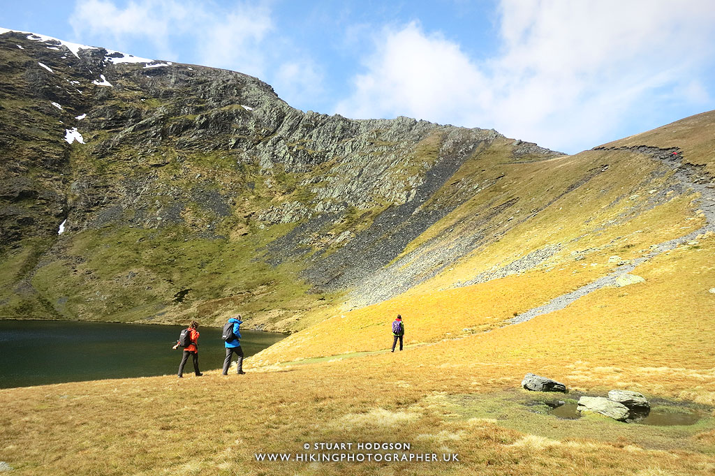
There were plenty of people about with the intention of tackling Sharp Edge.
|
 |
|
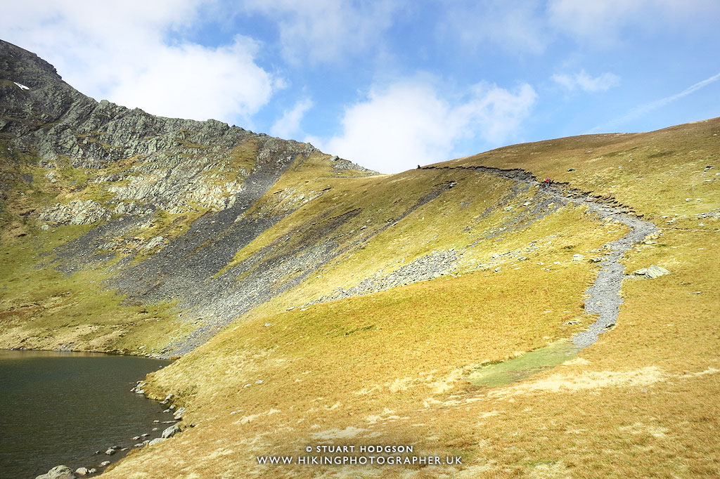
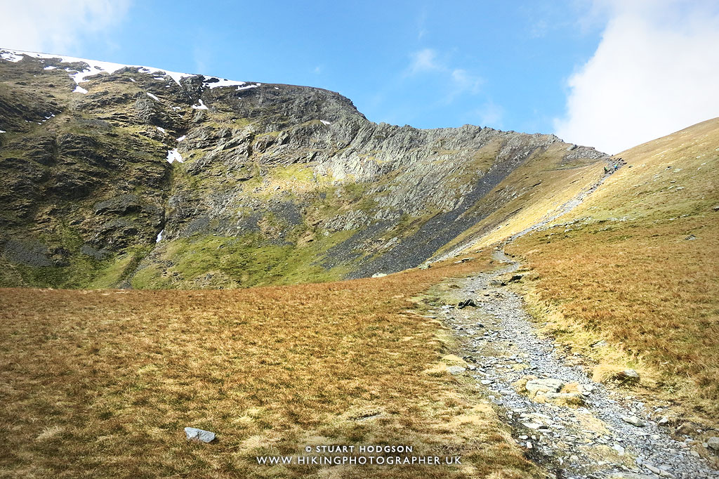
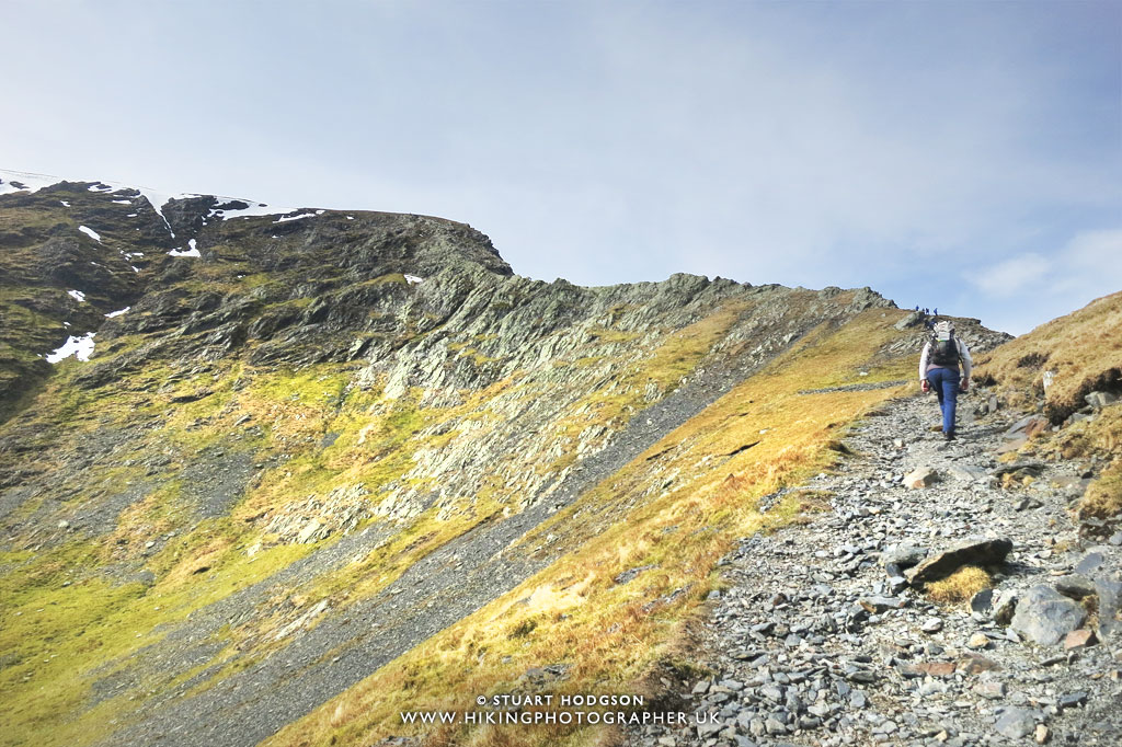
It’s a steady walk up the clearly marked path towards Sharp Edge.
|
 |
|
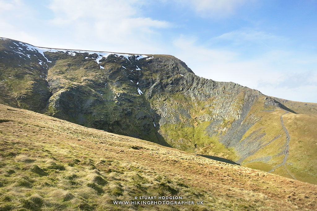
Whilst there is snow up top there appears none on Sharp Edge thankfully so we press on.
|
 |
|
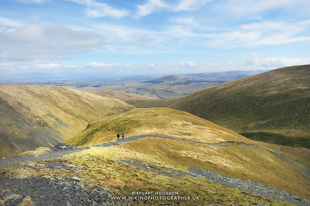
Taking another breather (it’s hard work all this uphill walking!) and looking back down to where we have walked.
|
 |
|
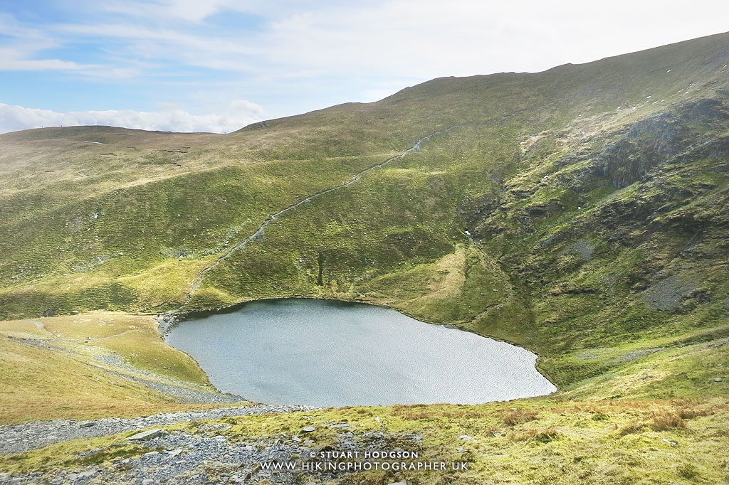
It doesn’t take long at all to get quite high up and peer over Scales Tarn.
|
 |
|
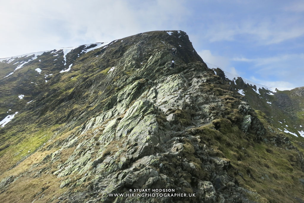
Looking back along the first section of Sharp Edge. You can either walk right along the very top of Sharp Edge – or even just a little to the side – which makes it seem less exposed.
|
 |
|
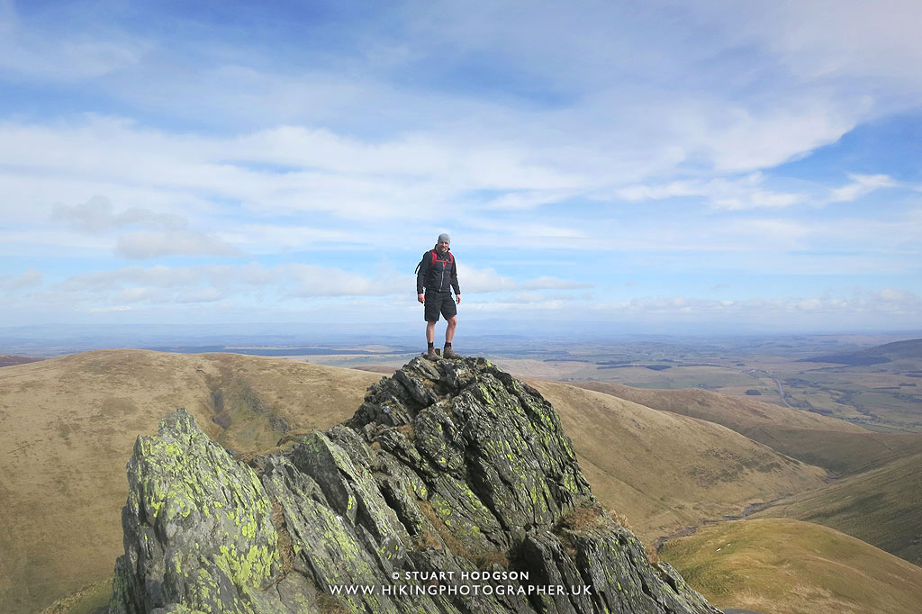
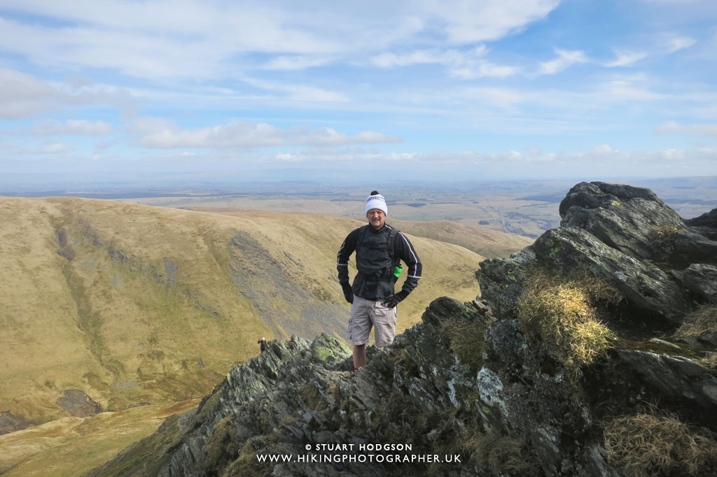
The obligatory photo of yours truly on one of the rocky outcrops on Sharp Edge en route to Blencathra. It looks worse that it is here, photos usually do and I felt quite safe!
|
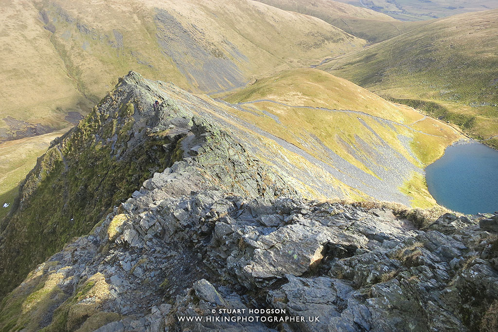 |
|
Looking back down across the majority of Sharp Edge – and now it’s a bit of a scramble using your hands up to Atkinson Pike on Blencathra.
|
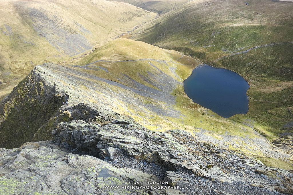 |
|
This was one of my favourite views along the whole route – gives a good feel for Sharp Edge and how high you are compared to Scales Tarn.
|
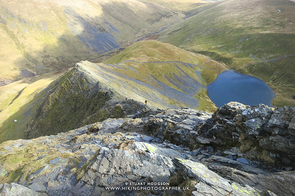 |
|
After taking a bit of a breather and grabbing a bite to eat & drink – some other walkers begin to catch us up, so we make a move for the summit.
|
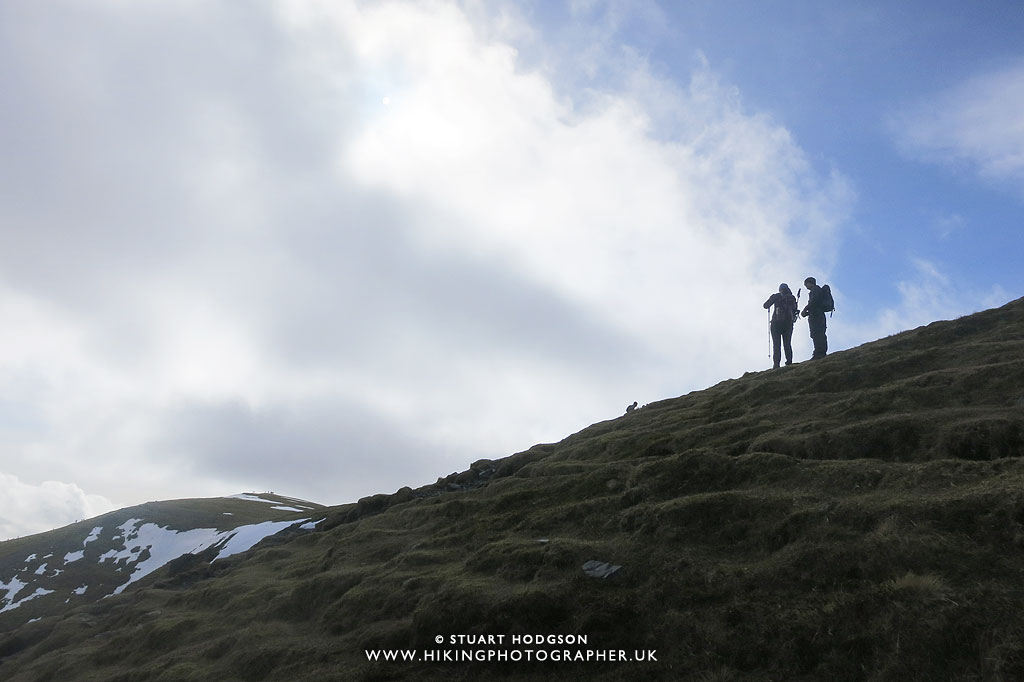 |
|
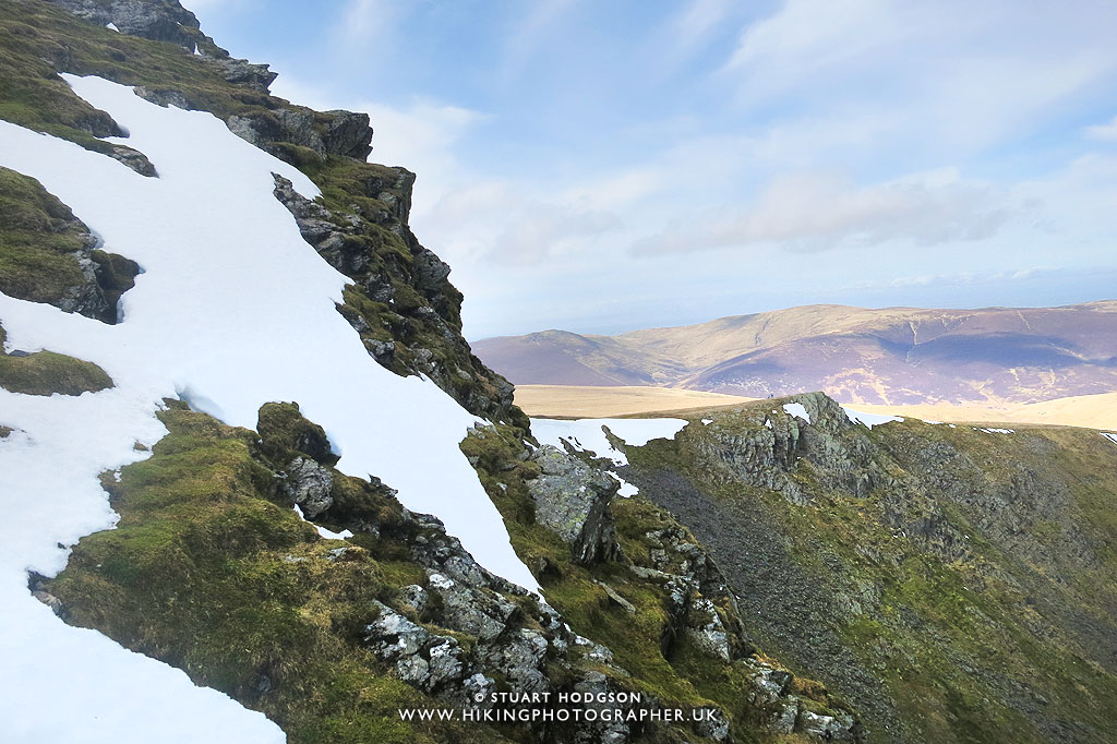
Arriving at the top of Atkinson Pike
|
 |
|
We’ve hit the snowline here – but thankfully there is no ice kicking about. Even though I’m wearing shorts it doesn’t feel that cold 🙂
|
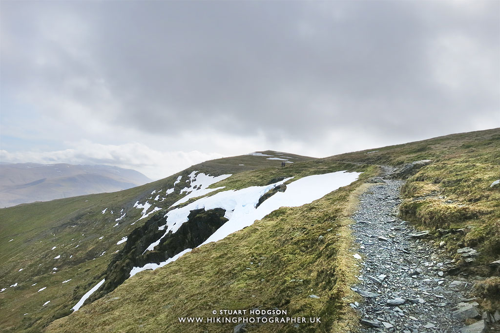 |
| Making our way now towards Hallsfell Top and the path is pretty easy going here |
 |
|
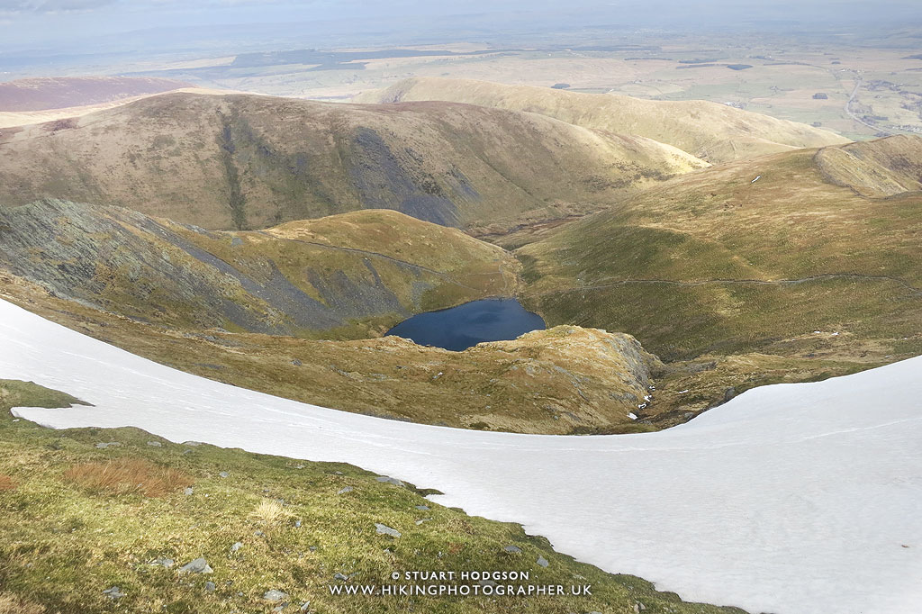
You can really get a sense of the height of the summit here looking back down again on Scales Tarn. It was also strange chucking a few snowballs about while wearing shorts on the Easter Weekend!
|
 |
|
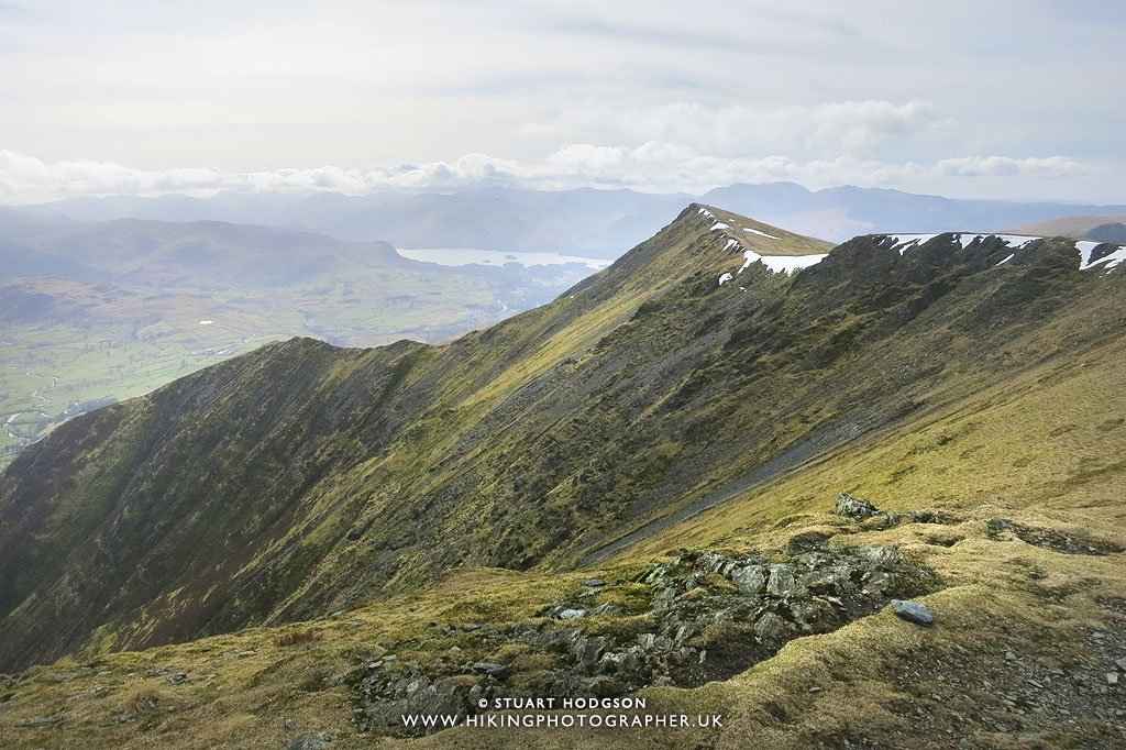
The view west from Hallsfell Top – where you can see Derwent Water in the distance.
|
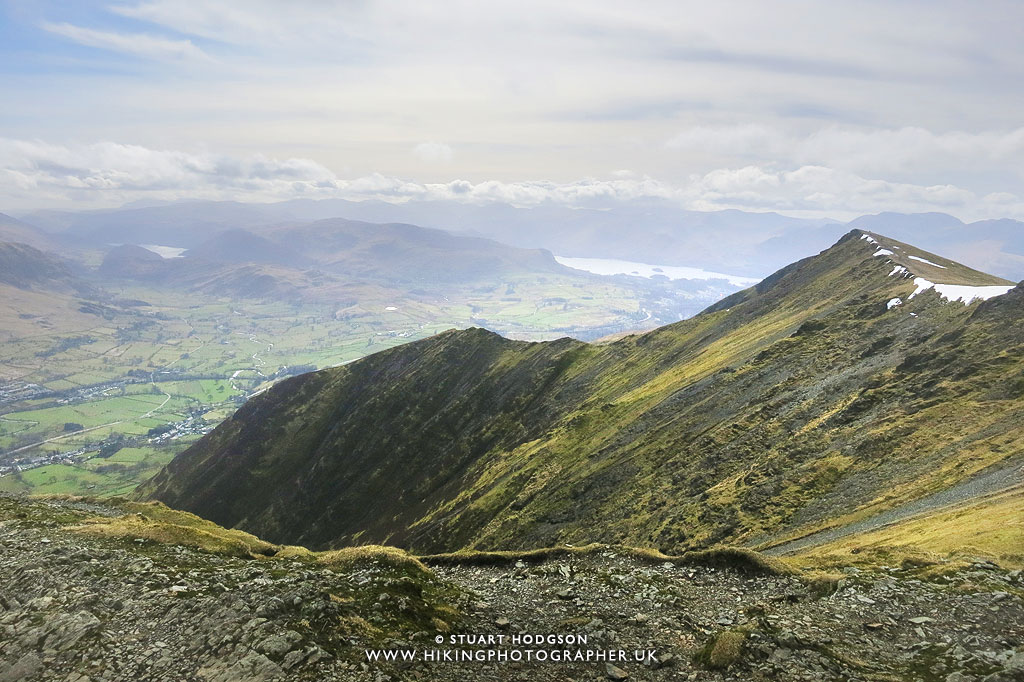 |
| It was an ideal spot to stop and grab another cuppa and bite to eat, while soaking in the views. This time you can just make out Thirlmere lake too to the left and Derwent Water to the right. |
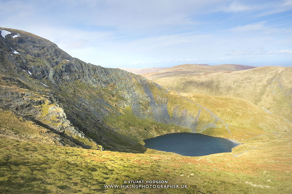 |
|
We descend via Scales Fell on the opposite side of Scales Tarn – coming back via Scales Fell can shorten a walk to Blencathra quite a lot and make it much quicker than the other routes.
|
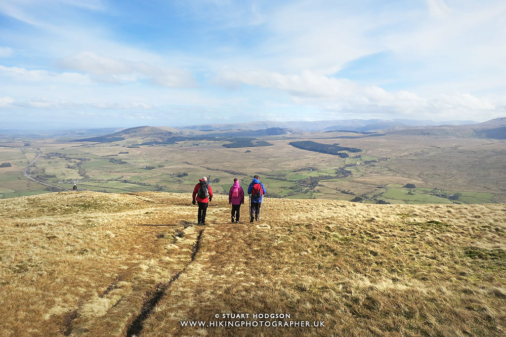 |
| It’s now a fairly gentle stroll down Scales Fell – although going downhill is always tough on the old knees! |
So there you go – I hope you have enjoyed that little write up – and that it inspires you to want to give Sharp Edge a go your self. It’s an excellent ridge, my favourite in the lakes, and quite safe in good weather. If you have any questions – just post a comment and I’ll try and answer.
BLENCATRA & SHARP EDGE – THE OLDEST ROCK IN THE ENTIRE LAKE DISTRICT
I thought I’d tag a bit of geology info onto this post becasue I found it fascinating when I learned about it. When you walk along the craggy Sharp Edge and up onto Blencathra, you feel like you are walking along an ancient raw and dramatic landscape and it’s worth noting it feels this way for a reason – as you’re literally moving across some of the oldest rock in the Lake District — rock that was formed over 500 million years ago. These fells around ths specific part of the Northern Lake District (eg. Blencathra & Skiddaw) aren’t made of the volcanic rock found in much of the central Lakes; they’re built from more ancient mudstones and sandstones that were once seabed sediments, laid down long before the mountains existed. Over unimaginable time, tectonic forces folded, lifted, and fractured these layers into the sharp ridges and steep faces you see today, giving Sharp Edge its narrow spine and jagged character. The ridge feels raw because it is — it’s not shaped by comfort or symmetry, but by deep geological violence and pressure.
Blencathra itself stands apart from many other Lakeland mountains for this reason. Its structure comes from the Skiddaw Group rocks, the oldest geological formation in the area, which weather into broken, angular shapes rather than smooth slopes. That’s why the mountain feels harsh, steep, and dramatic compared to fells like Helvellyn or Fairfield. Walking here isn’t just a physical journey, it’s a time journey — you’re crossing rock that formed before complex life on land existed, shaped long before forests, animals, or humans ever appeared. Sharp Edge isn’t just thrilling because of its exposure — it’s powerful because it’s ancient. I think it’s definitely worth knowing this geological history of Sharp Edge, and walking on 500 million year old rock certainly adds to the drama of this Blencathra Walk. Enjoy!
I don't have those annoying ads on my website to keep it user friendly (so don't get any ad income) If you've found this site useful and want to give a token of appreciation - you can make a small donation via 'buy me a coffee' to fuel more blogging and help towards website running costs (which I pay out my own pocket as it's just a hobby). Cheers! Stu


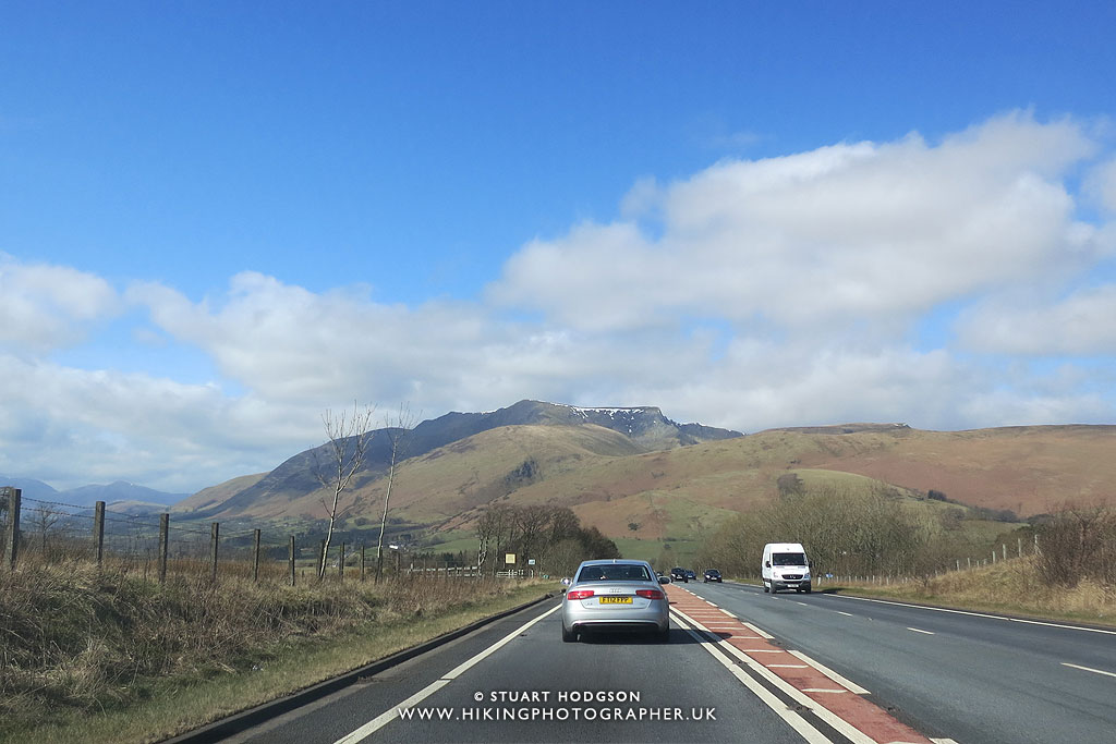


Sharp Edge looks epic – thanks for the info I’ll add it to my Lake District hiking list
Cheers Ste – Sharp Edge is my favourite ridge in England – you’ll love it