Malham Cove – a superb destination for a walk in the Yorkshire Dales
Malham Cove in the Yorkshire Dales is a spectacular limestone cliff formation located near the village of Malham in the Yorkshire Dales National Park. It’s a very unique and stunning place and makes for an excellent walk. I share my favourite Malham Cove walk further below, but first let’s learn more about Malham Cove…
ABOUT MALHAM COVE
This natural amphitheater-shaped rock face of Malham Cove stands approximately 80 meters (260 feet) high and stretches 300 meters (985 feet) wide, making it one of the most impressive geological features in England. Over the centuries, Malham Cove has become a popular destination for walkers, climbers, and nature enthusiasts, offering breathtaking views from the top and a unique insight into the region’s ancient past. The cove has also gained fame in popular culture, featuring in films such as Harry Potter and the Deathly Hallows: Part 1, further boosting its appeal to visitors.
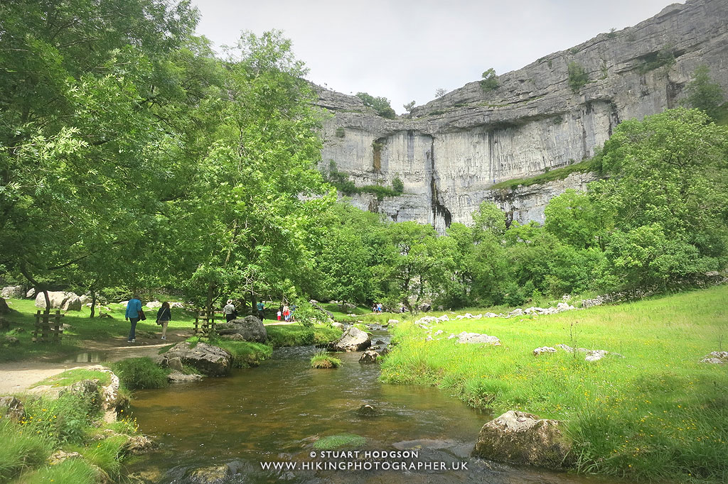
The formation of Malham Cove in the Yorkshire Dales dates back to the end of the last Ice Age, around 12,000 years ago. During this period, melting glaciers released vast amounts of water, which carved out the limestone landscape, creating the dramatic cliff we see today. A powerful waterfall once cascaded over the edge of Malham Cove, gradually wearing away the rock below. However, as the glaciers fully retreated and the water supply diminished, the waterfall eventually dried up, leaving behind the striking curved limestone face. Today, water still flows underground through a complex network of caves and resurfaces at the base of the cove as a small stream known as Malham Beck, which you should look out for on a visit to Malham Cove.
One of the most fascinating features of Malham Cove is the limestone pavement at its summit. This unique, weathered surface is characterized by deep fissures, known as grykes, which have been shaped by thousands of years of rainwater erosion and you’ll see this in other parts of the Yorkshire Dales too. These grykes create a striking checkerboard pattern and provide a habitat for rare plants and wildlife. The geological and historical significance of Malham Cove makes it an extraordinary place to explore, and one of the best places to walk in Yorkshire and the UK for that matter.

The magnificent Malham Cove – a superb destination for one of Yorkshire’s best walks
MY FAVOURITE MALHAM COVE WALK, VIA GORDALE SCAR
Malham Cove, Janet’s Foss, Gordale Scar, and Malham Tarn are some of the most breathtaking natural landmarks in the Yorkshire Dales, each offering unique geological and scenic wonders and all can visited on my favourite Malham Cove walk.
The walk starts from Malham, and heads first to Janet’s Foss, a picturesque waterfall nestled in a wooded glade, named after a local fairy legend and is a tranquil spot perfect for nature lovers. The waterfall tumbles over a limestone ledge into a clear pool, creating a magical atmosphere, especially in spring when the surrounding wild garlic is in full bloom.
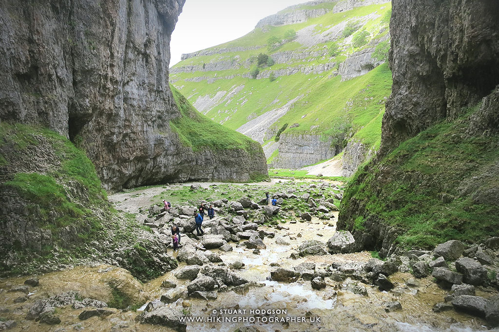
Gordale Scar is a dramatic limestone gorge, with towering cliffs and a cascading waterfall that flows through its narrow entrance. Believed to have been formed by ancient glaciers, the scar provides a challenging yet rewarding scramble for adventurous walkers. Just a short distance away, Malham Tarn is a glacial lake and a designated National Nature Reserve, offering a serene contrast to the rugged cliffs and waterfalls nearby.
The walk then ends at Malham Cove – a towering limestone formation, rising 260 feet high, formed by glacial meltwater over 12,000 years ago. Its curved rock face and limestone pavement at the top provide stunning panoramic views of the surrounding countryside, making it a popular spot for hikers and climbers.Together, these four landmarks make Malham one of the most remarkable areas in the Yorkshire Dales, attracting visitors eager to experience its stunning natural beauty and rich geological history.
Malham Cove via Gordale Scar & MALHAM TARN walk details:
WALK OVERVIEW:
DISTANCE: 7 miles
TIME: 3 hours
TOTAL ASCENT: 867ft
DIFFICULTY: DIFFICULT (DUE TO WATERFALL SCRAMBLE)

This is a spectacular walk with a lot of variety. Most of the route is quite easy – the only difficult part is the scramble up next to the waterfall at the end of Gordale Scar – this is quite tricky – especially when wet (and should be avoided after heavy rainfall). I would only recommend this scramble if you have done similar scrambles before as at times you have to pull yourself up by one hand. This can be avoided if you come back out of Gordale Scar and take the Dales Highway path then onto Malham Rakes road to Malham Tarn)
Malham Cove via Gordale Scar & MALHAM TARN map route:
 |
| Here you can see the elevation of the route – which isn’t too much. The only steep parts are the scramble up the waterfall at Gordale Scar and the path down from Malham Cove. |
My photos of this Malham Cove walking route TO GIVE YOU AN IDEA OF WHAT TO EXPECT:
I’d had this walk on my list for a while after seeing the area on Julia Bradbury’s TV show ‘Best walks with a view’ – and if you haven’t done it – it’s definitely worth adding to your list! As you will see there are some stunning views and the walk is quite varied. The scramble up the waterfall at Gordale Scar is fun and I love stuff like that – but you will be able to adapt the route if you don’t quite fancy that scramble. For a more leisurely stroll – Malham Cove straight from Malham Village is a very popular route and again gives some pretty amazing views. The photos below are the order of the walk – starting in Malham.
 |
| The anti-clockwise route heads for Janet’s Foss initially. |
 |
| The start of the walk is flat for quite a while |
 |
| The footpath tracks Gordale Beck |
 |
| Not a bad day for a walk at all |
 |
| Approaching Janets Foss along Gordale Beck. |
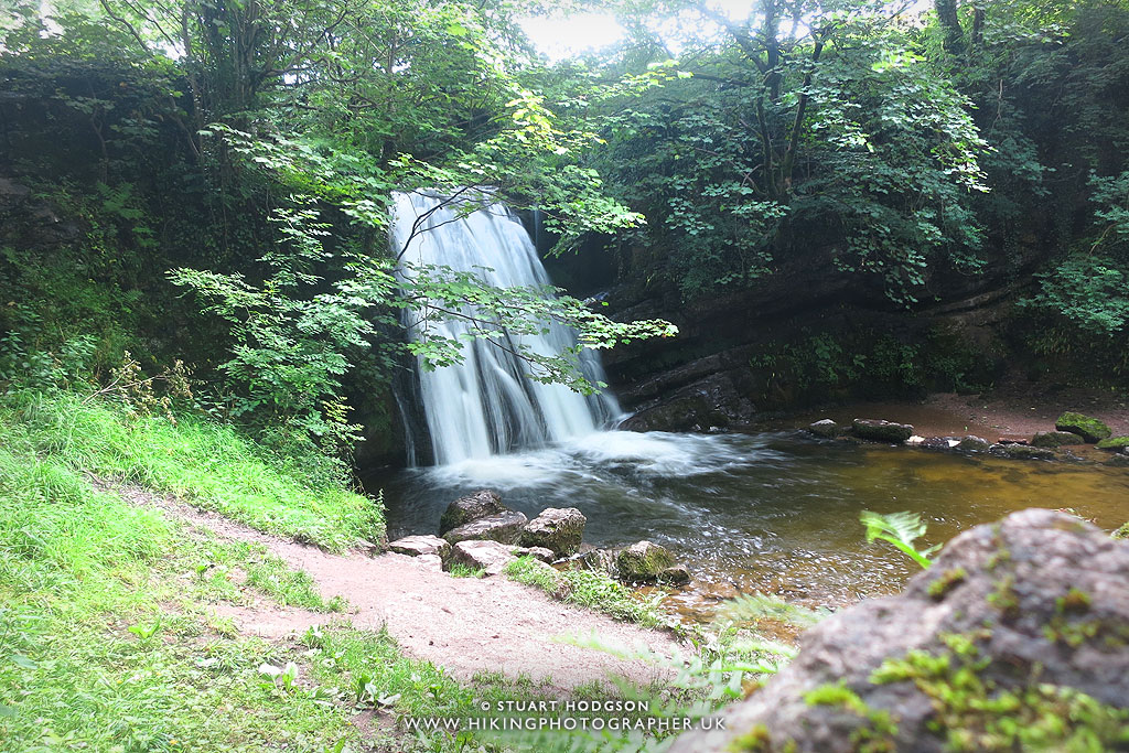 |
| Janets Foss – the first place we stop and have a drink. The waterfall caroes Gordale Beck over it – which we will follow into Gordale Scar. Traditionally the pool here was used as a sheep dip – and a quick look on wikipedia brought up this: The name Janet (sometimes Jennet) is believed to refer to a fairy queen held to inhabit a cave at the rear of the fall. Foss is a Nordic word for waterfall, still used in Scandinavia, and is presented in a number of cases in England as ‘force’ |
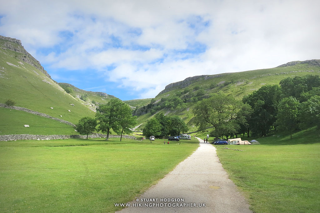 |
| The path leads through Gordale Campsite and it’s one of the most scenic campsites I’ve seen – I wouldn’t mind coming back at some point to camp! |
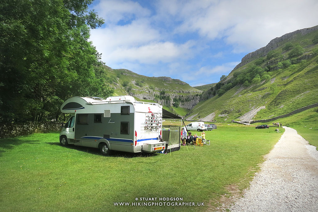 |
| What a place to pull up with your camper van! |
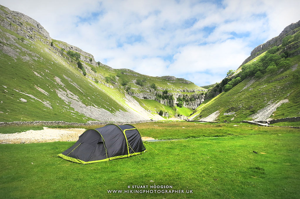 |
| There can’t be many more picture perfect places to camp than this! |
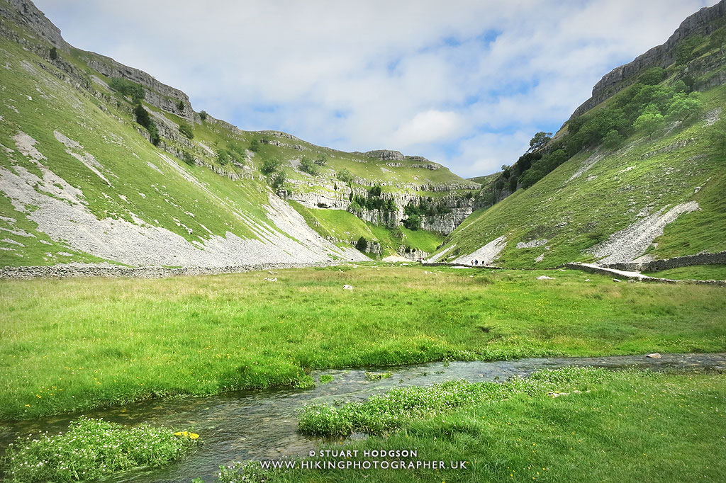 |
| Looking over Gordale Beck into Gordale Scar. |
 |
| Gordale Scar is quite a dramatic gorge to walk into |
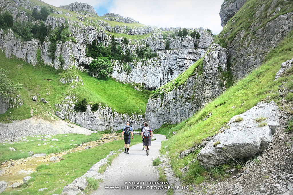 |
| The path is quite accessible into Gordale Scar and we pass quite a few people of various ages having a wander into the Scar. |
 |
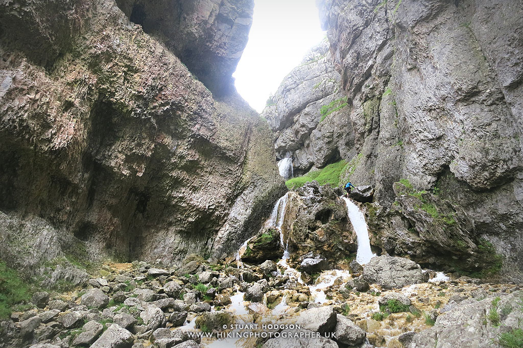
| Here the well marked path ends into a rocky floor flanked by steep Limestone cliffs over 100m high. |
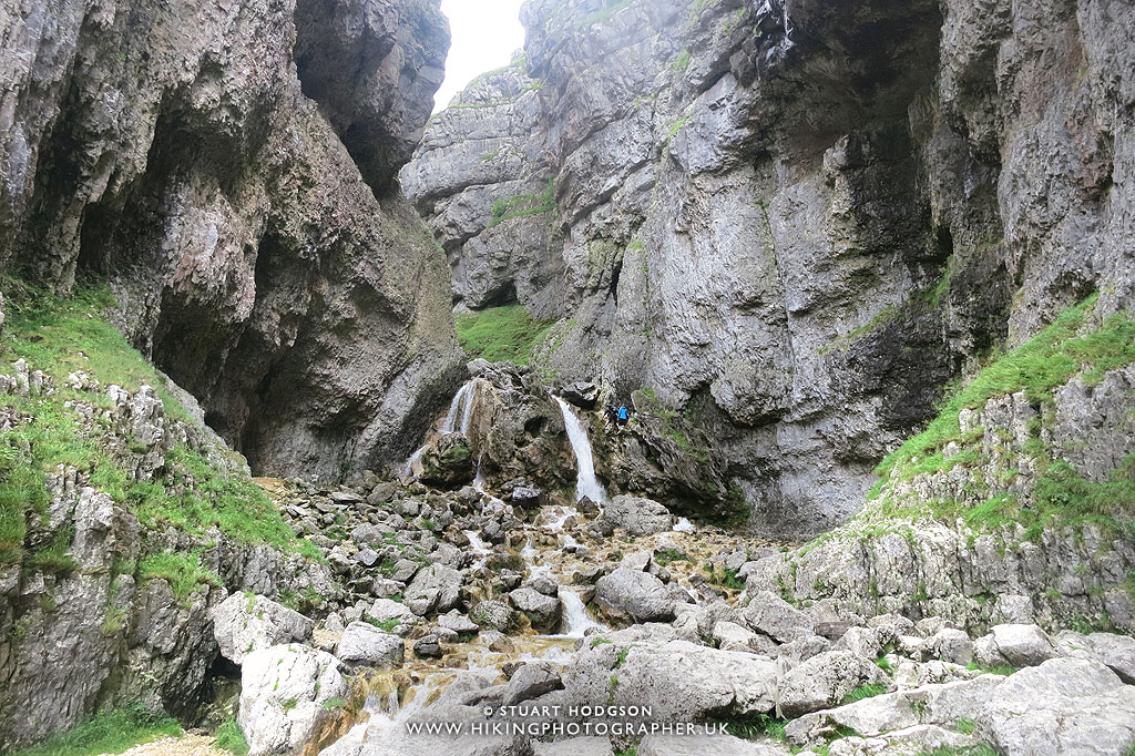 |
| The view into Gordale Scar and the fun scramble up next to the waterfall that awaits |
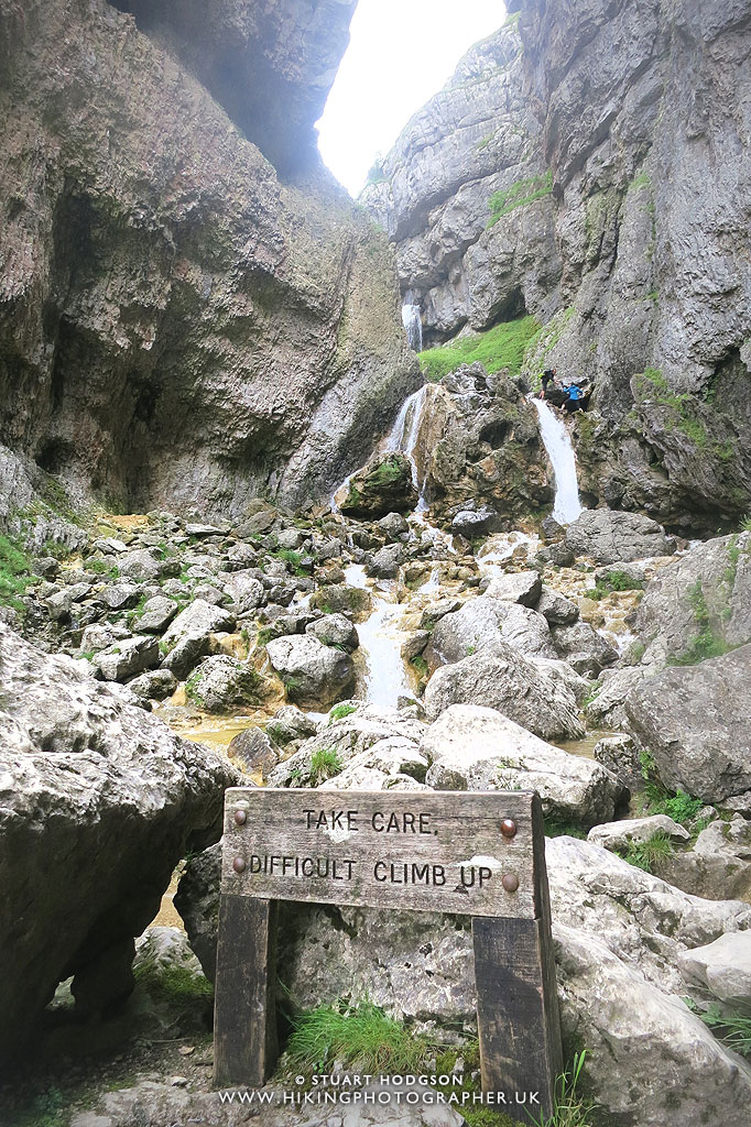 |
| Just incase you weren’t sure how easy the scramble is – the sign warns you it’s difficult. |
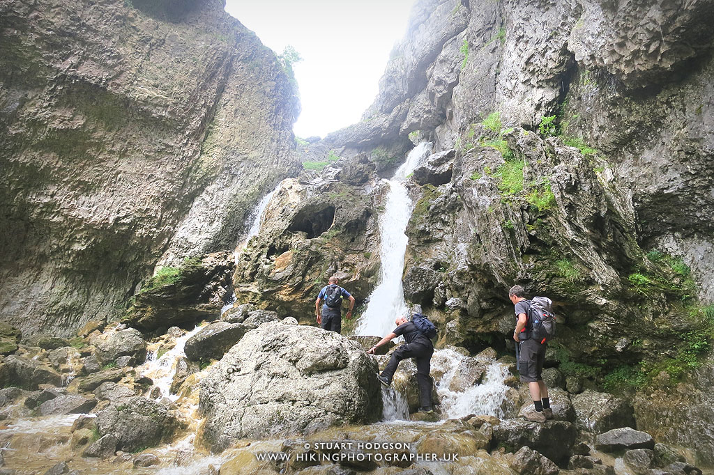 |
| Making our way up the waterfall |
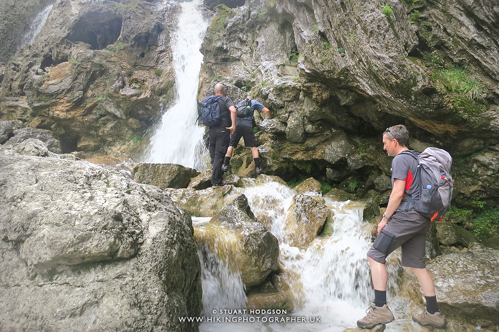 |
| Our boots get a bit wet here – so the right footwear is essential. |
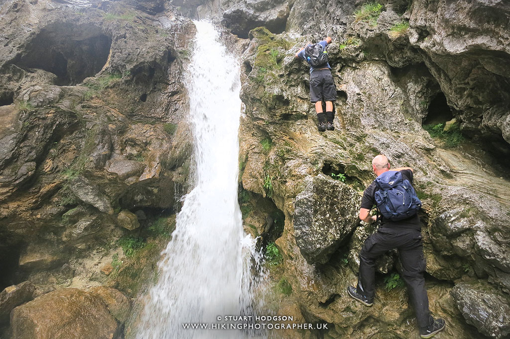 |
| The scramble is a little difficult in parts when figuring out where hands and feet should go – but if you take your time it’s manageable. |
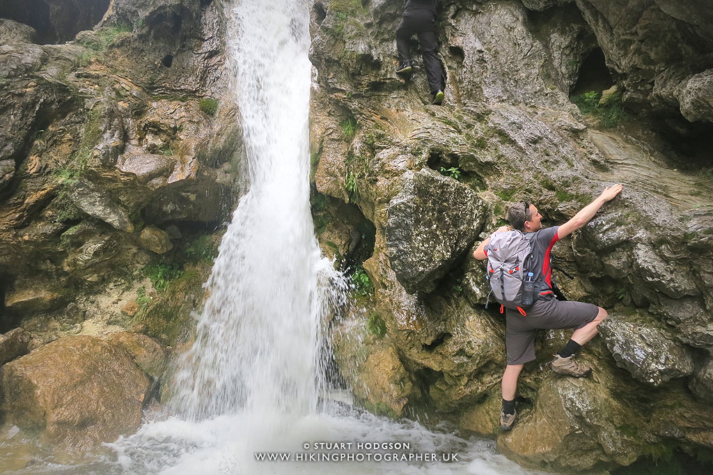 |
| Hold on and don’t fall back here or you’ll be getting a wash! |
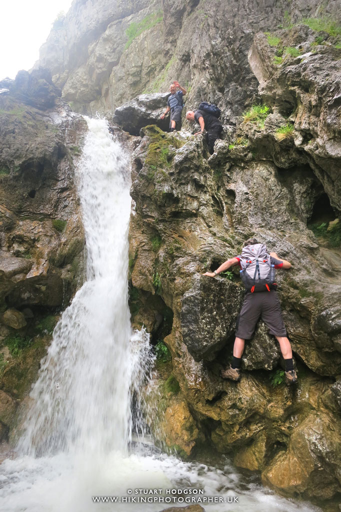 |
| 1 done – 3 to go (and I’m last) |
 |
| We now cross over Gordale Beck and come out the ravine towards the top left of this picture. |
Admiring another waterfall within Gordale Scar
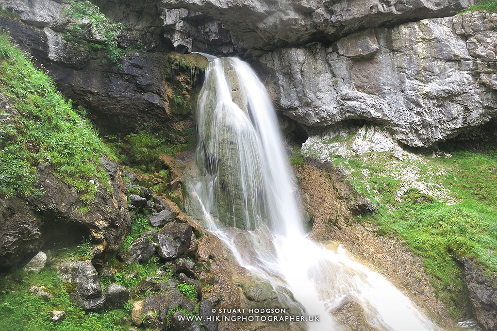 |
| The second waterfall on Gordale Scar |
 |
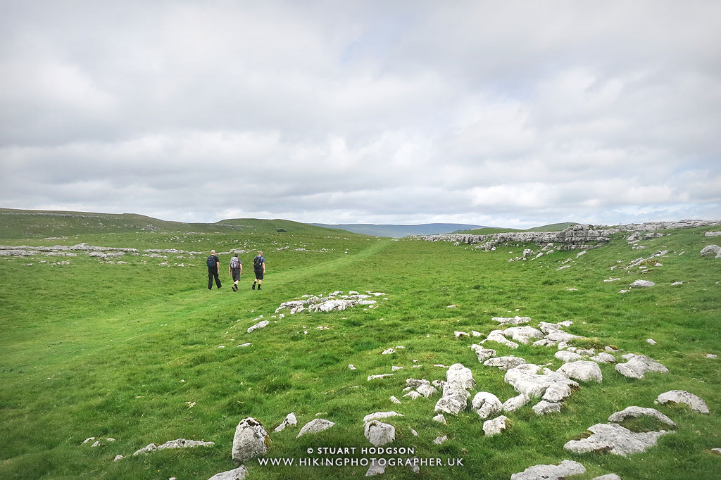
| After a little bit of a walk uphill the route flattens out and it’s a leisurely stroll to Malham Tarn a couple of miles away. |
 |
| The unique Limestone Paving of the Yorkshire Dales. |
It’s quite a leisurely stroll now along this section of there walk towards Malham Tarn
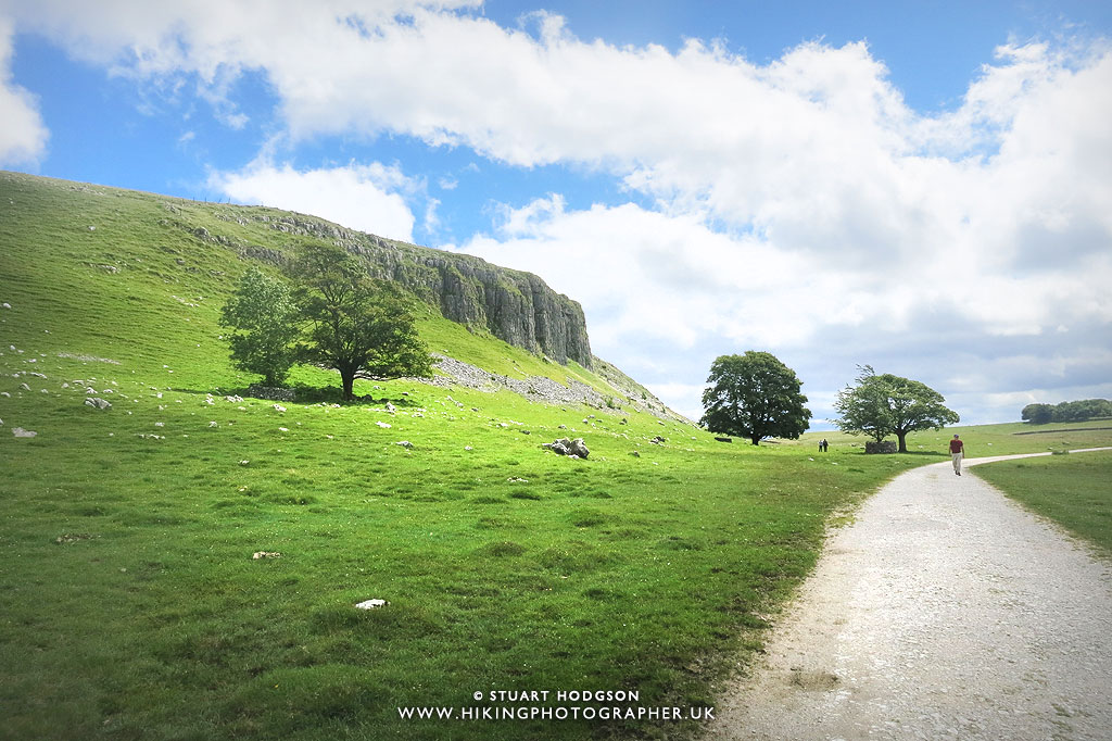 |
| Looking back towards Great Close Scar as we approach Malham Tarn. |
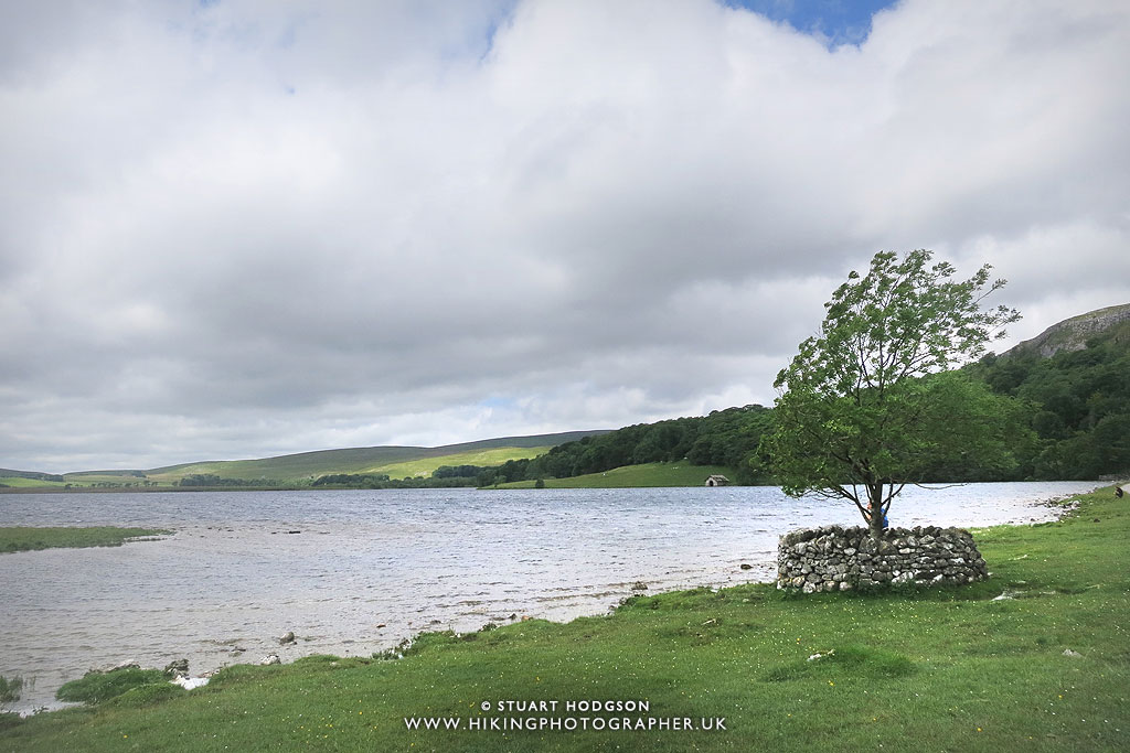 |
| We arrive at Malham Tarn – a good place for a stop |
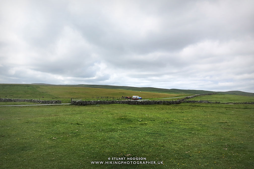 |
| This walk had everything – even an ice-cream van! Happy days |
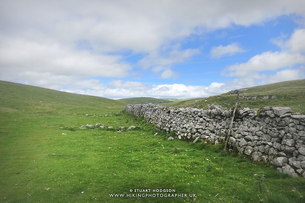 |
| We head along part of the Pennine Way as we head towards Malham Cove |
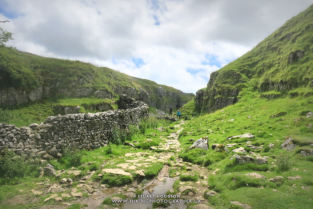 |
| Walking through Malham Lings |
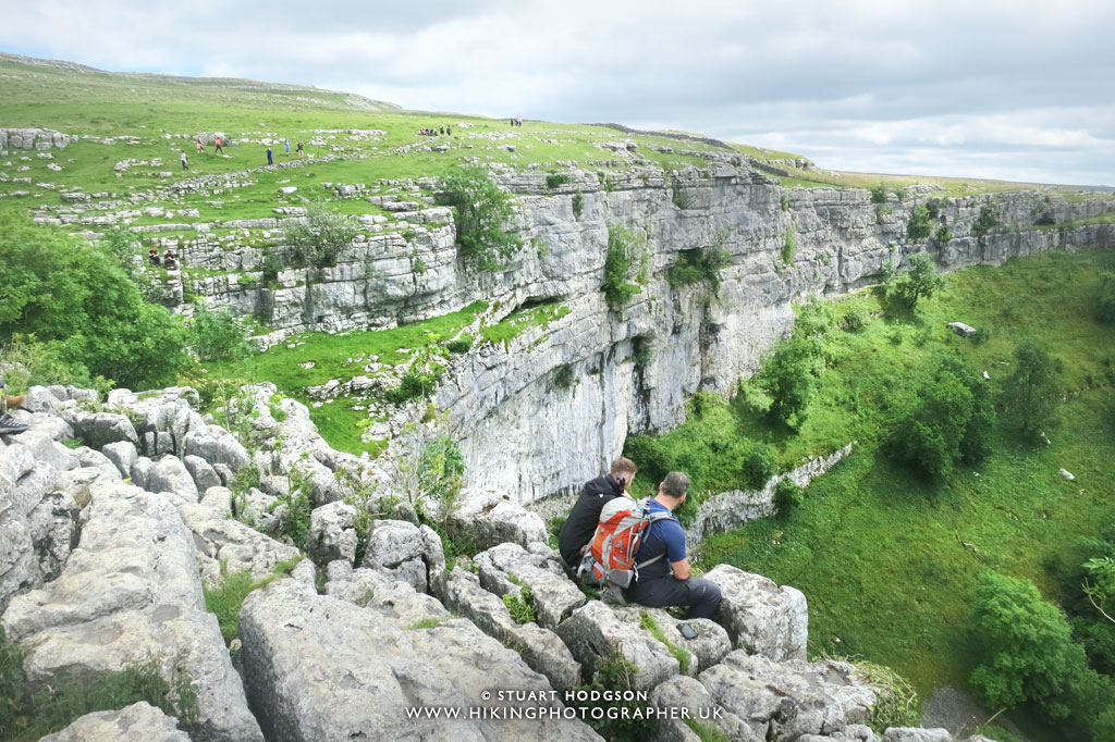 |
| Admiring the view on top of the stunning Malham Cove in the Yorkshire Dales |
 |
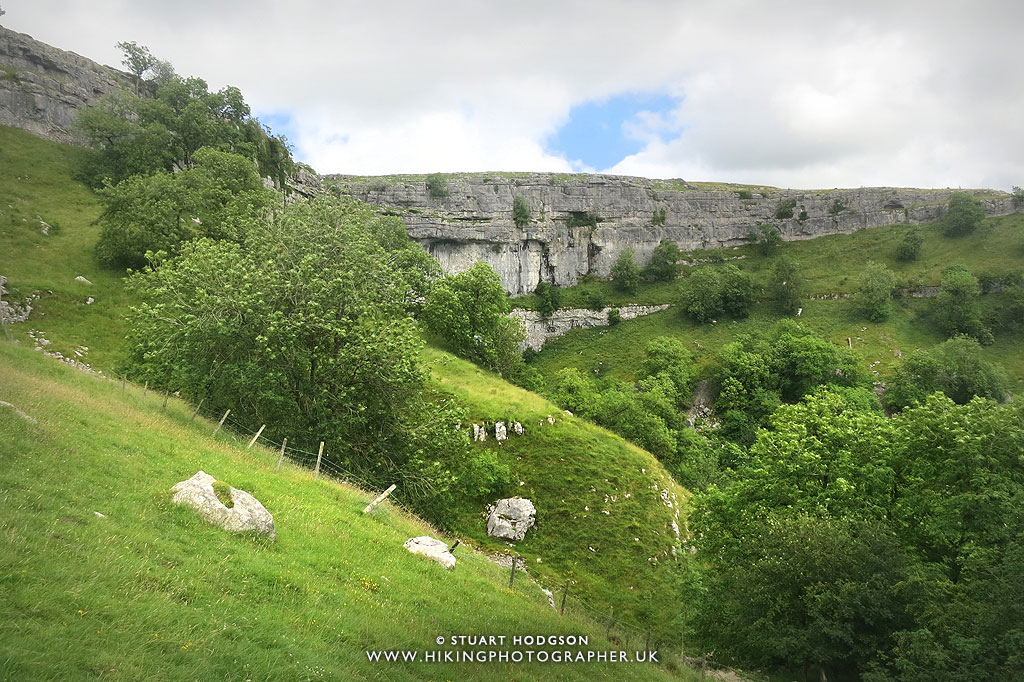
| The view from Malham Cove down towards Malham Village. |
 |
| Walkin across Malham Cove’s Limestone pavement |
 |
| Heading down to the base of Malham cove to get a different view of it. |
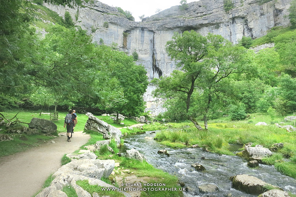 |
| We decide to track the river up stream towards the base of Malham Cove and see where it comes out at |
 |
| This is where the beck comes out from the Malham Cove – from under a sliver of rock. |
We retrace our steps and head back downstream away from Malham Cove now
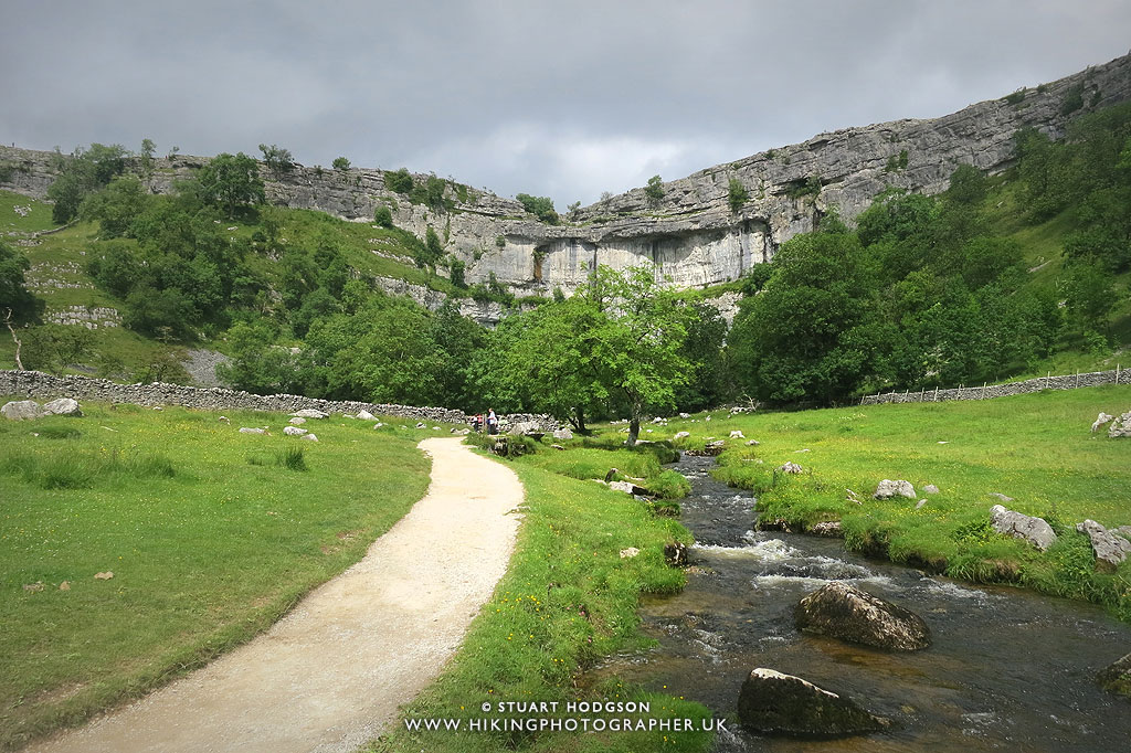 |
| The path on the section from Malham Cove to Malham Village is very clear and accessible and easy to follow – you can’t go wrong really. |
As ever I hope you have enjoyed that little write up and photos and it inspires you to want to visit the area and give this Malham Cove via Gordale Scar route a go.
If you are looking for a shorter Malham Cove walk that is suitable for all the family – then you can just walk to Malham Cove from Malham Village – check out the blog post on that below:







good reading and enjoyed the pics too!
Been to Gordale Scar a few times. Only been to Malham Cove once., through the field. Will need to give it a go with the scramble.
Thanks! Gordale Scar is impressive isn't it – I like a scramble – makes it more fun – the water flow will effect how easy it is – I can imagine it being a lot more powerful in winter. Good luck!