
 |
| Heading off on the Mountain Bikes through Hamsterley Forest |
Mountain Biking on the Red Trail through Hamsterley Forest

This is the official Bike Trail map for Hamsterley Forest. As you can see there are different colour codes for the different trails which have different levels of difficulty. The route I took on this day was the Red Trail from the Visitor Centre (which I’ve highlighted). The start from the Visitor Centre is actually along the Blue Route (Forest drive – minor flat road) until you get to The Grove (where you could park also if you like to shorten the route) from here it’s best to go anti-clockwise – it’s mainly uphill for a good few mile – once you reach Neighbour Moor is all downhill from there through the different MTB courses which requires a good bit of skill on your Mountain Bike – but it’s all good fun providing you have little bit of experience. I suggest downloading the map to your phone before you go – and you can find the map here (as the phone signal at Hamsterley forest is not very good once you are there) www.forestryengland.uk/sites/default/files/documents/Hamsterley%20MTB%20Map%20A4%20leaflet.pdf
Distance: 14.5miles
Difficulty: Red / Difficult
Time: 3 hours
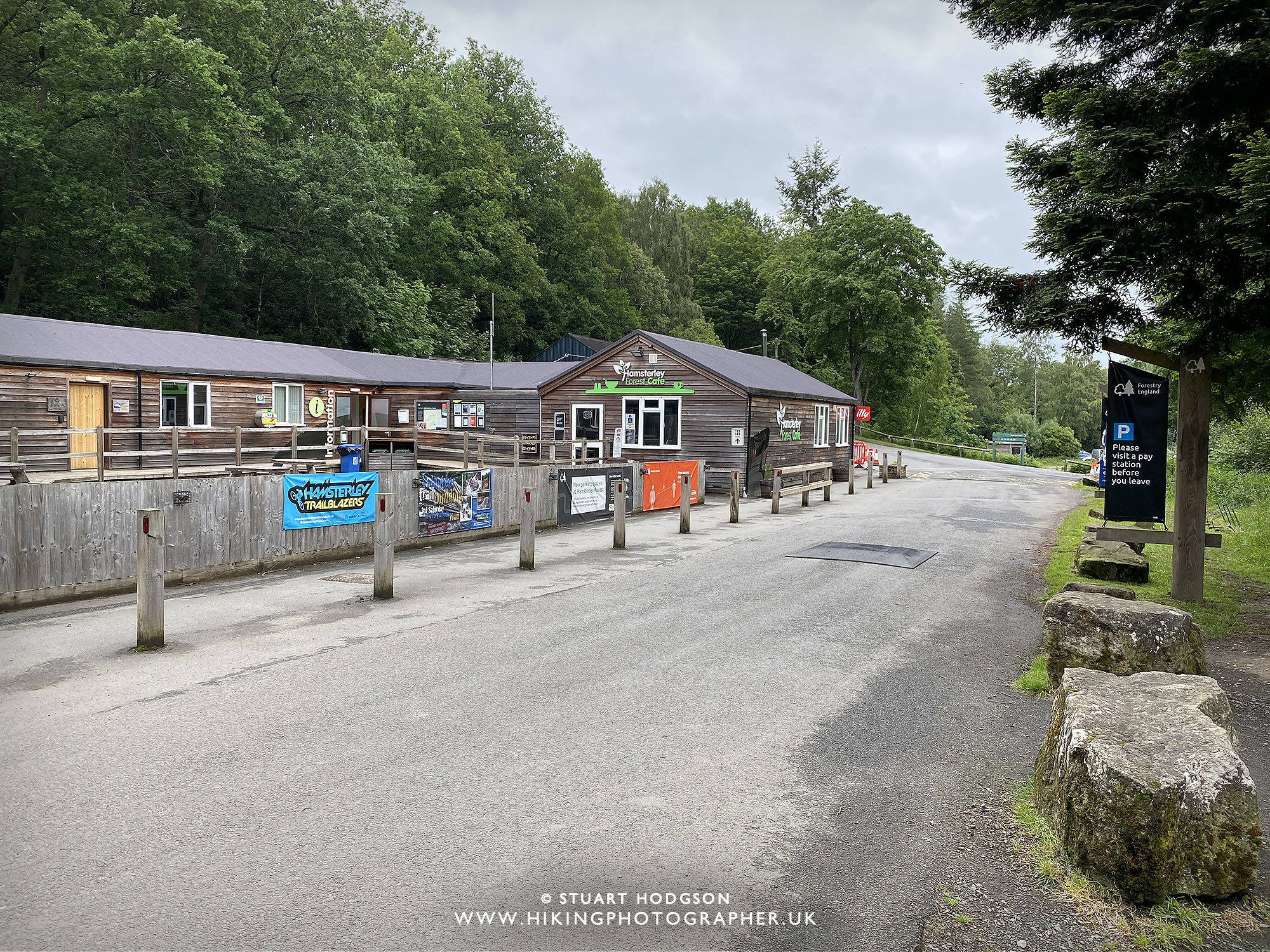 |
| The route on this particular day we started at the main car park where the Hamsterley Forest visitor centre & cafe is. It will cost you about £6 to park all day (It goes on a Car Reg recognition system – you can pay by card) |
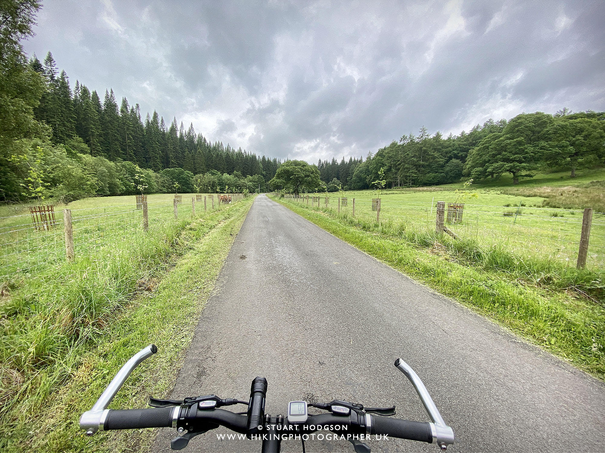 |
| It’s a nice leisurely, flat ride on the blue Trail to The Grove |
|
|
| I think it’s a good warm up on the Mountain Bikes to ride along the blue trail first from the Hamsterley Forest Visitor Centre to The Grove – but you could always park at The Grove if you want to take some of the distance off the route |
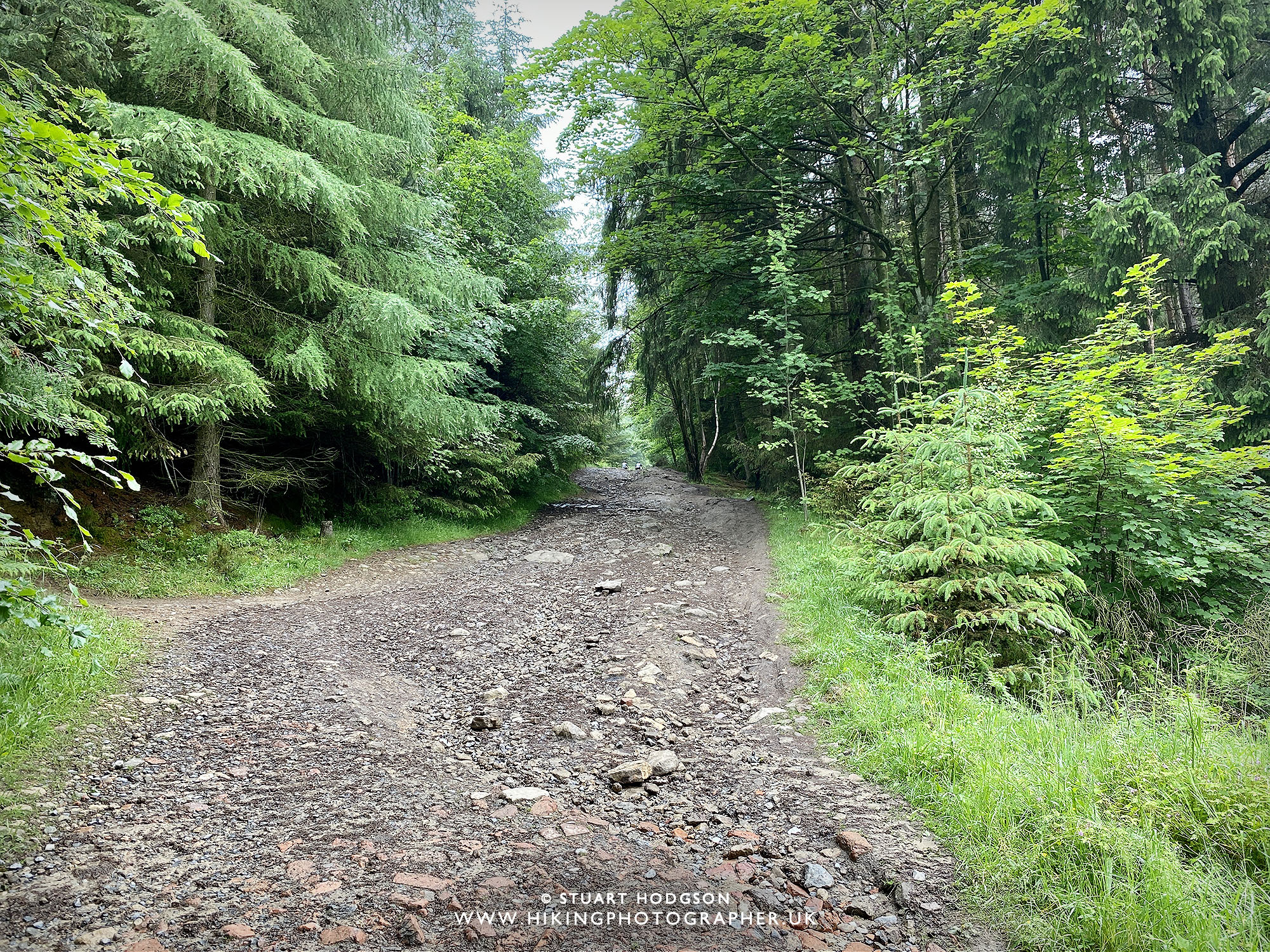 |
| It’s uphill from here – and the going gets tough for a bit! Once you get to the little wooden hut, take a 90˙ right turn to go on the Red trail, or you can continue up and have a go on the Descend trails and get back on the Red Trail! |
 |
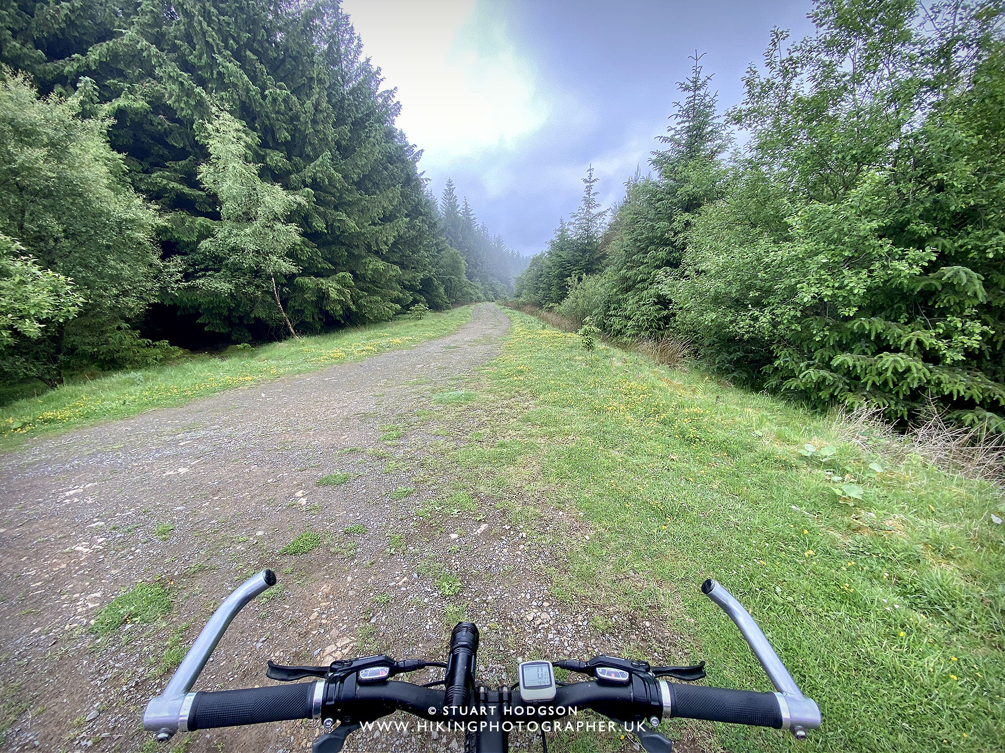
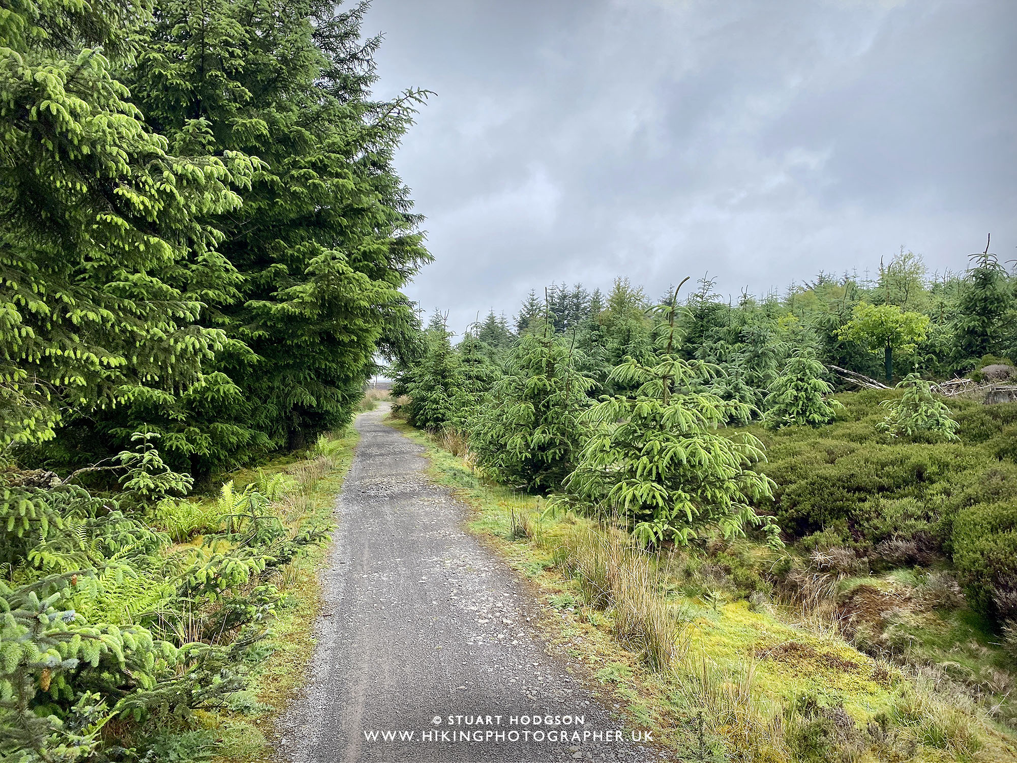
| Nice leisurely rid between the tree’s |
 |
| Good fun cursing down through the forest |
 |
| Heading up to the Pennington Plantation |
 |
| Didn’t pass anyone up her on this midweek day – weekends high be different! |
 |
| Good spot for little rest |
 |
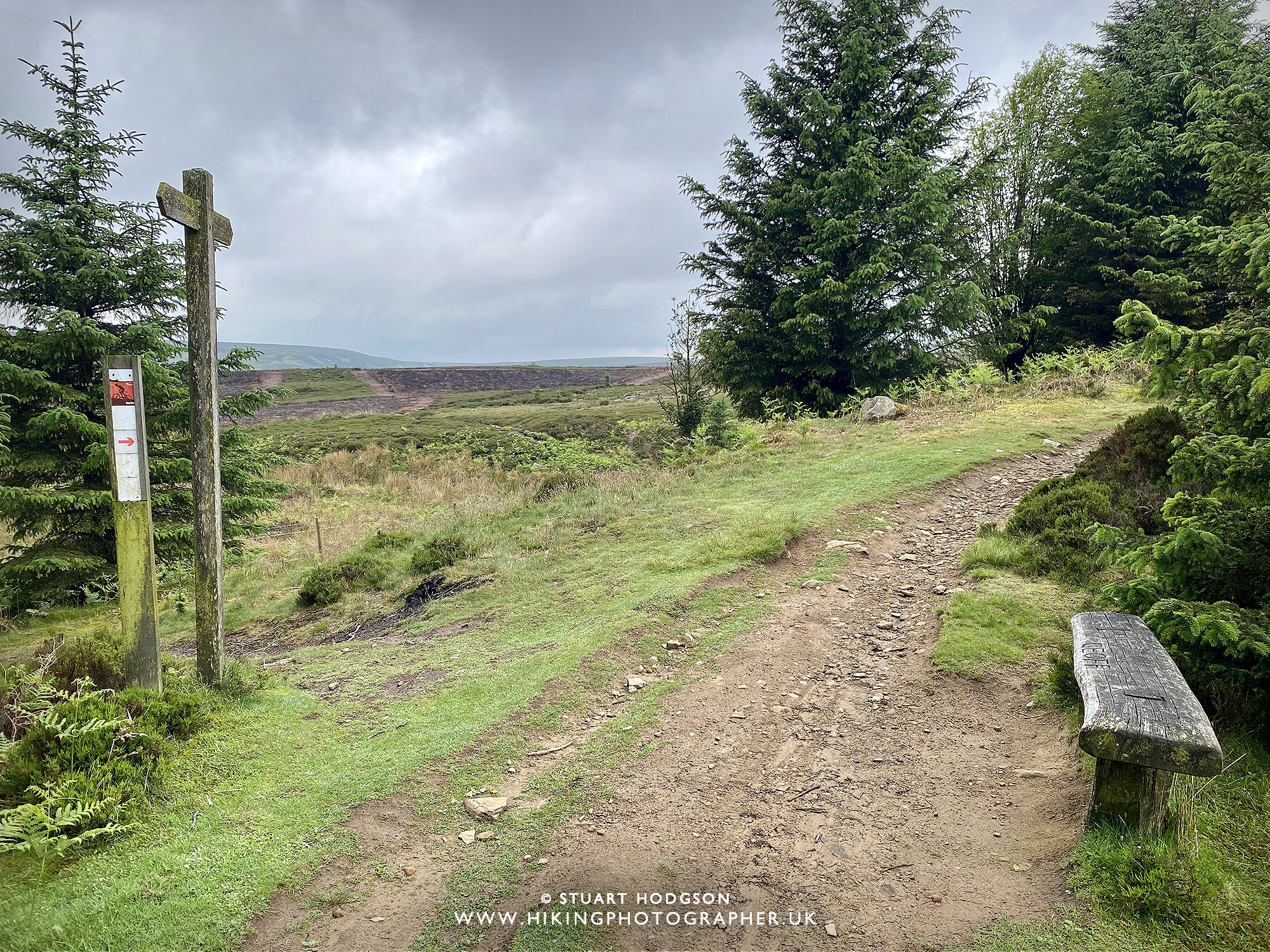
| Little climb up to Neighbour Moor |
 |
| Once up on Neighbour Moor after about 1.5 hours you’ve cracked the uphill part and it’s time to have some fun heading down through the various MTB trail sections. The MTB trails is what’s special about Mountain Biking through Hamsterley Forest – and if you have Mountain Bike experience, a good bike with suspension and like MTB trails – then be sure to tackle the various sections: Polty’s Last Blast, K-Line, Transmission, Accelerator & Nitrous. |
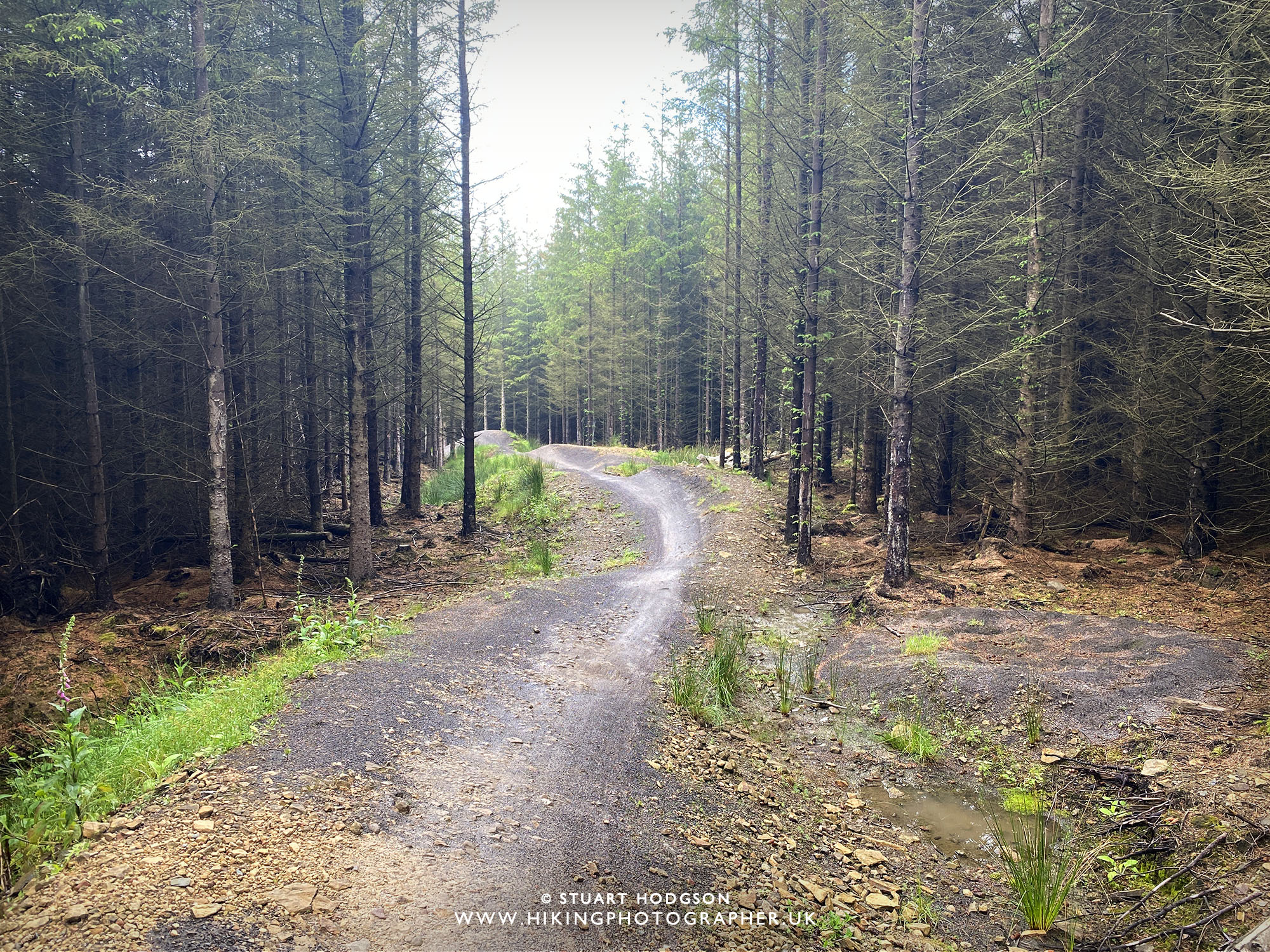 |
| A little section form Polty’s Last Blast on the the Red Trail, with has some drop’s and jump’s (the jumps can be cycled around) |
 |
| The start of the Transmission section with a jump at the start (can be avoided) |
 |
|
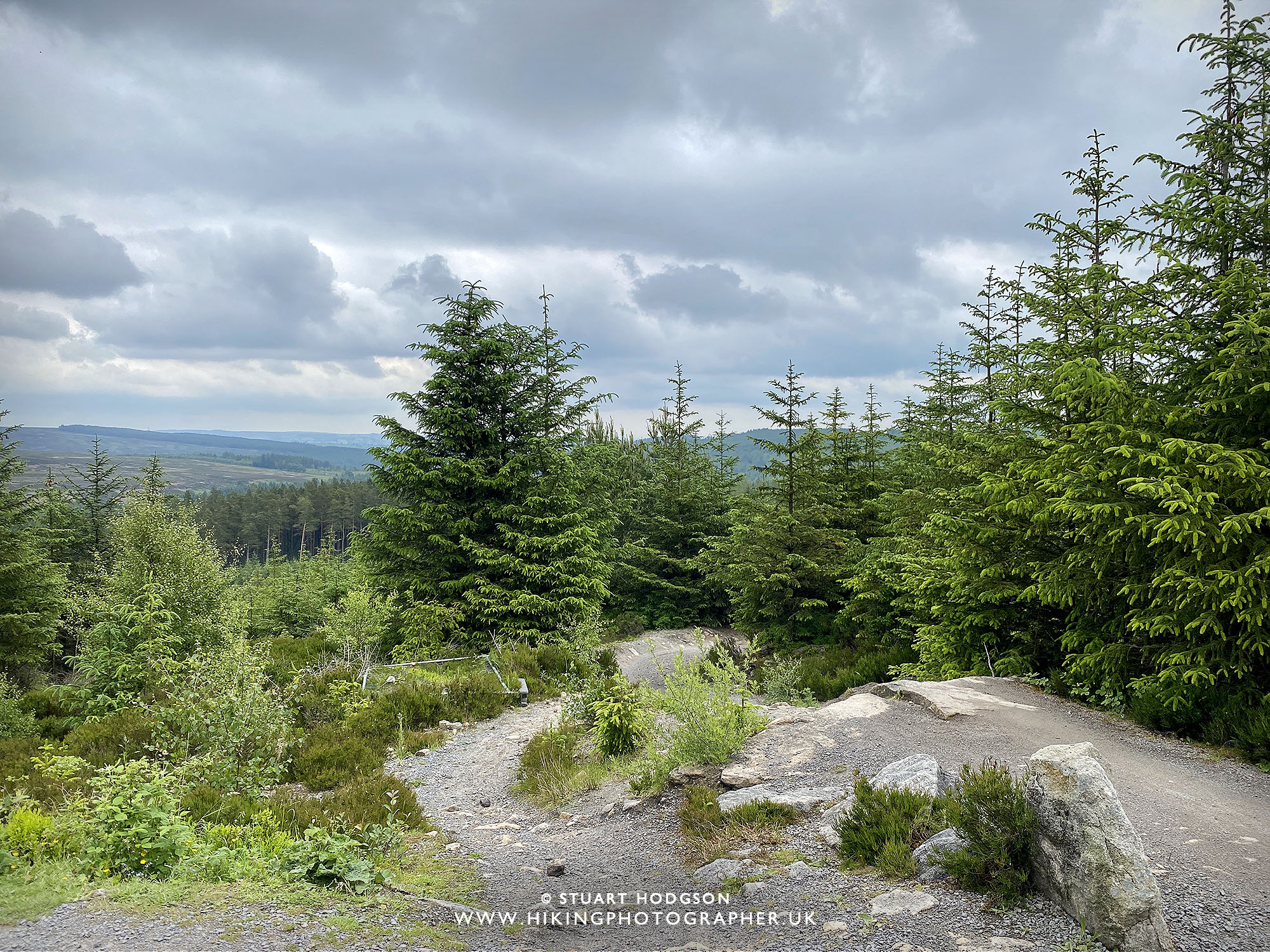
Cycling through Accelerator, the last section before we get back on the blue trail and head back along the Forest drive road to the Hamsterley Forest visitor centre. |


0 Comments