
 |
| Stunning views of Loughrigg Tarn from Loughrigg Fell with the Langdale Pikes in the distance. If there is one walk I’d recommend to do in the Lake District for people new to the area – this would be it! For it’s relatively short distance and ascent, you get lots of varied and very impressive Lake District views |
LOUGHRIGG FELL – ONE OF THE BEST LAKE DISTRICT WALKS – IT’S A MUST DO!
Loughrigg Fell is often considered one of the best walks in the Lake District because it packs an incredible variety of scenery into a relatively short and manageable hike. Standing at just 335 metres, it may not be the tallest fell in the area, but the views from the summit are exceptional, stretching across Windermere, Grasmere and Rydal Water. The walk itself is full of interest, with rocky outcrops, winding paths, and quiet tarns such as Loughrigg Tarn along the way. Because it’s accessible from popular villages like Ambleside and Grasmere, it’s an ideal route for walkers of all abilities who want big Lake District views without committing to a full-day mountain hike. The combination of stunning panoramas, varied terrain, and easy access makes Loughrigg Fell a classic Lake District walk and i fyou are going to do only 1 Lake District hike I would probably say do this one!
ELOUGHRIGG FELL LAKR DISTRICT WALK OVERVIEW
WALK OVERVIEW:
DISTANCE: 5.2 miles
TIME: 3.5 hours
TOTAL ASCENT: 1306ft
DIFFICULTY: MODERATE

Loughrigg Fell walk Map route:
 |
| This Loughrigg Fell walk starts from White Moss Car Park in between Grasmere & Rydal water. It’s best done in an anti-clockwise direction, where you are straight into great views of Grasmere along Loughrigg Terrace and on the on the ascent to Loughrigg Fell summit – note this initial ascent from Loughrigg Terrace to the summit is quite steep on the stone steps! You’ll then get some completely different and equally stunning views of Loughrigg Tarn and into into the Langdales. Then at the southern edge of Loughrigg Fell you’ll get impressive views of Windermere and lovely views of Rydal Water on the final section. It’s variety really do make it one of the best walks in the Lakes. There are a few paths up on Loughrigg Fell and I suggest viewing the full route in detail to help in planning. |
LOUGHRIGG FELL WALK FAQ:
Is Loughrigg Fell an easy walk?
The walk up to the Catbells summit, if you park at the closest point, is about 30 to 40mins and most people walk up form the northern end which is the steepest way as shown on the route maps in this blog post. I also highly recommend walking up the steeper northern end first and coming down the gentler southern side.
How long does it take to climb Loughrigg Fell?
The shortest walking route is 2-3 hours – however to make the best of it to enjoy the variety of views I really recommend this route on this page which can be done in 3.5-4 hours
Is Loughrigg Fell a Wainwright?
Loughrigg Fell is a Wainwright and is one of the easier ones to summit. It’s located between Ambleside, Grasmere and Skelwith Brdge and if you are in the Windermere area it is highly recommended especially if you are new to walking Wainwrights.
 |
| Read on to learn more about this brilliant Loughrigg Fell walking route |
Loughrigg Fell walk – Photos of what to expect:
|
| At the very start we head over the beck from White Moss Car Park, where it will cost you around £5 for a few hours parking (machine takes a bank card and there are also toilet facilities here) |
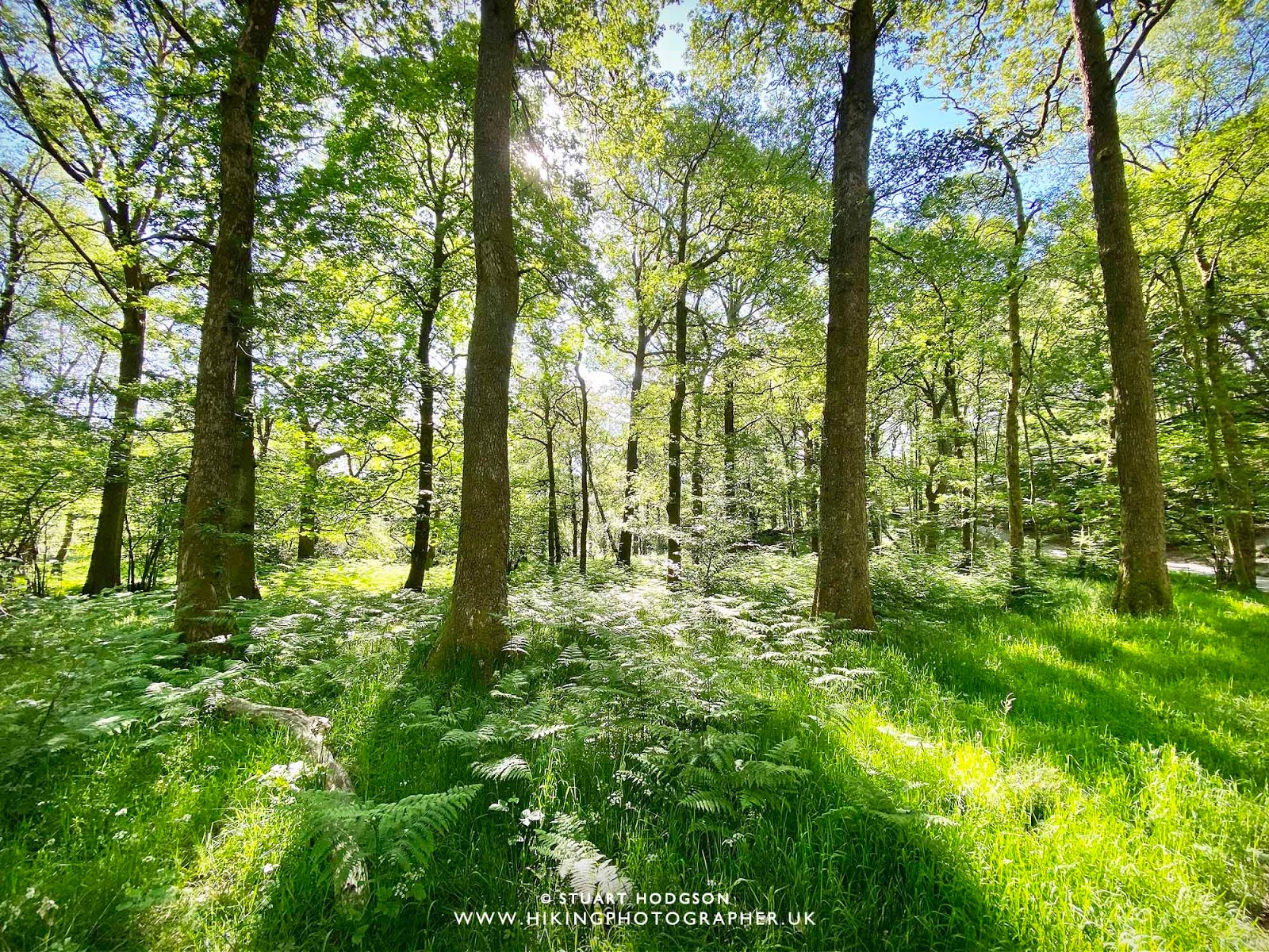 |
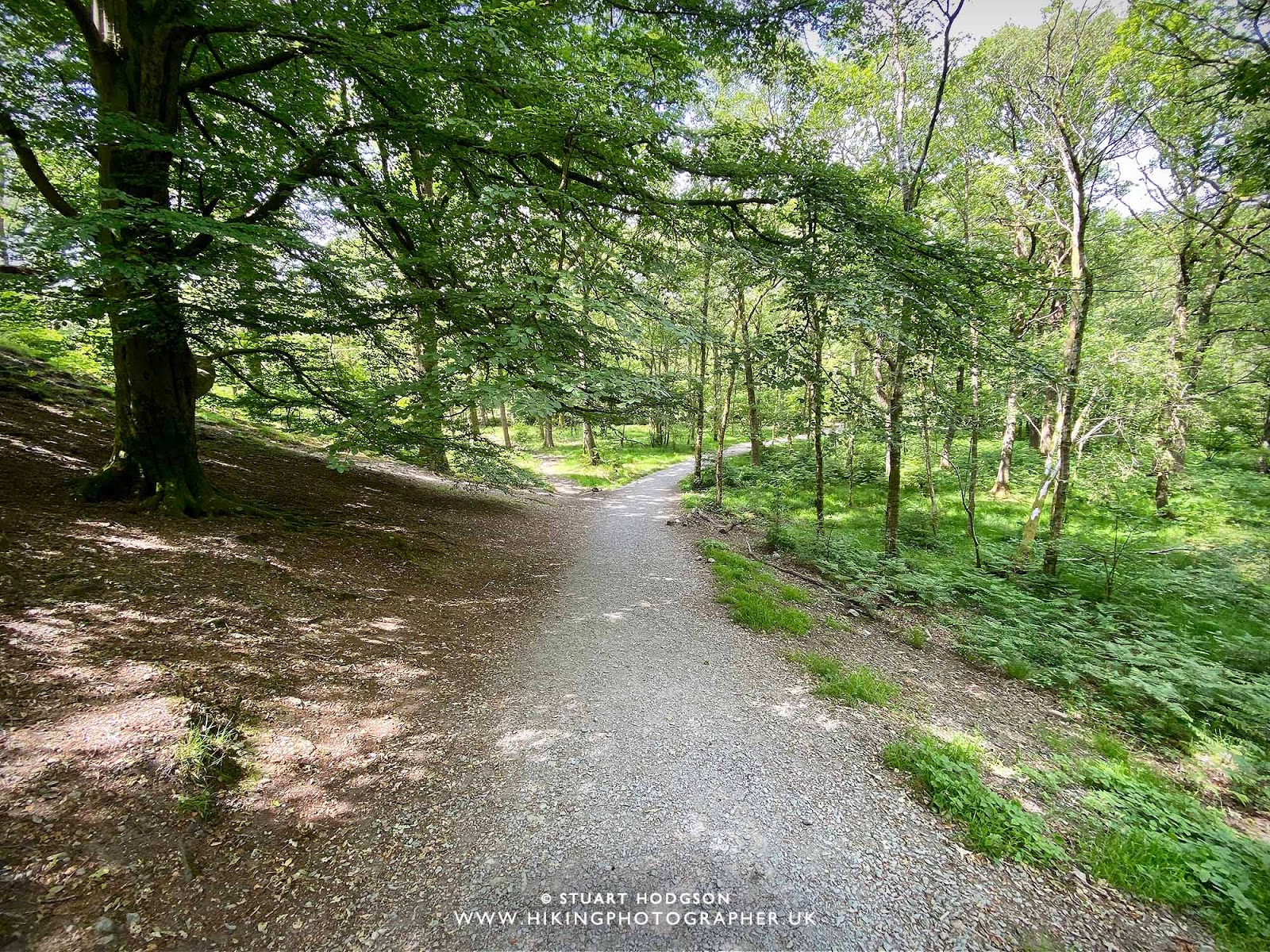
| White Moss wood is a lovely little woodland to walk through to get warmed up |
 |
| As we climb the little hill to Loughrigg Terrace we get a glimpse of Rydal Water – which we will return past later. The weather is beautiful today – nice and sunny – perfect for some great views – and this walk has plenty of them in all directions! |
 |
| A glimpse of Loughrigg Fell and we take a right here to Loughrigg Terrace – later we will come back from the path on the left |
 |
| The path along Loughrigg Terrace come into view |
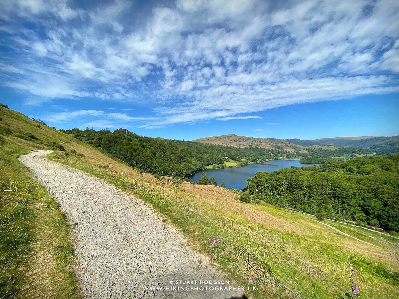 |
| Loughrigg Terrace gives stunning views of Grasmere |
 |
| Grasmere looks amazing from up here and it’s a nice place to stop on one of the few benches on Loughrigg Terrace and soak it all up |
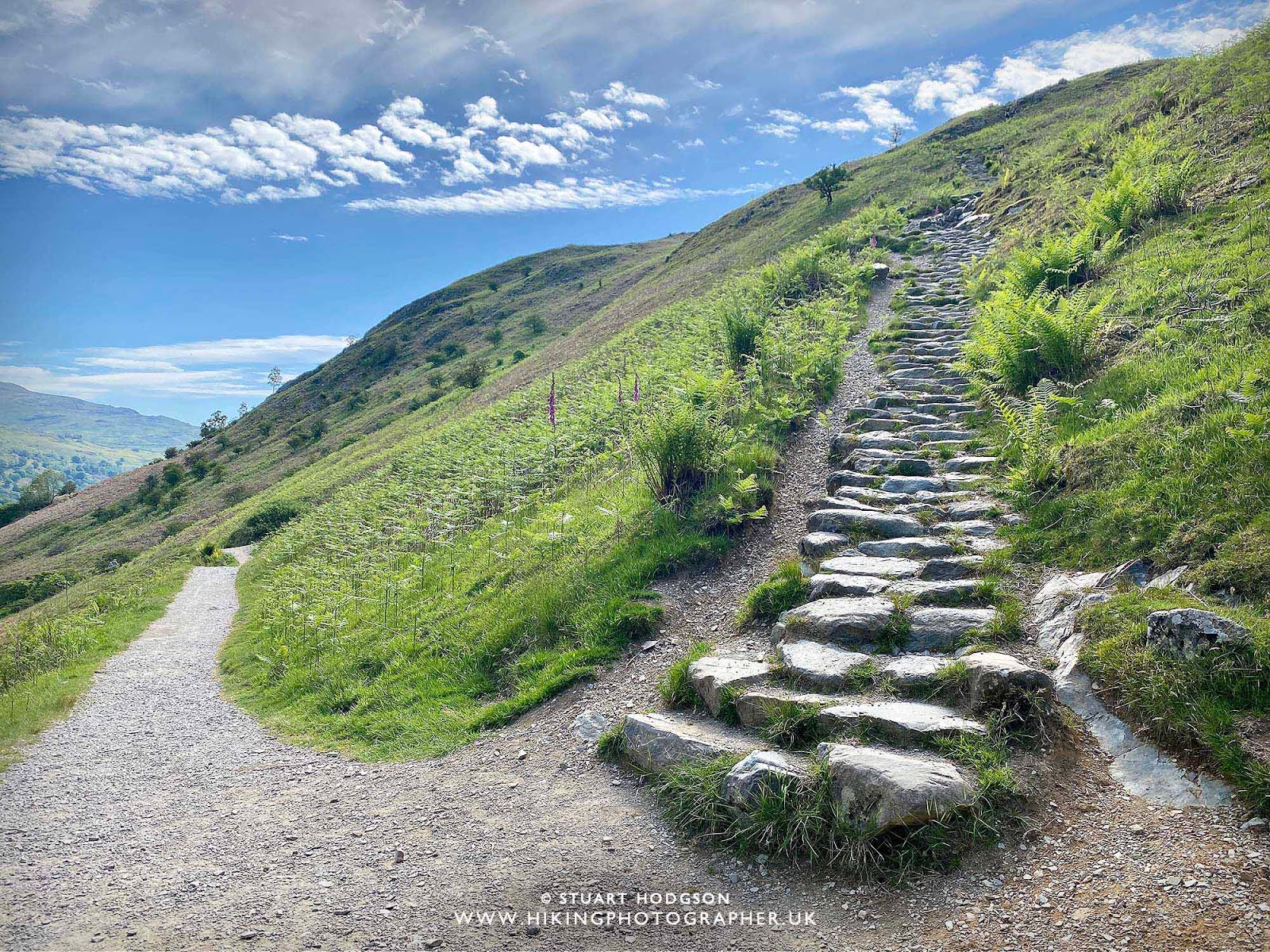 |
| Heading up the steps to Loughrigg Fell – this is the steepest part of the walk and you will want to take many opportunities to “admire the view” / take a breather 🙂 |
 |
| Grasmere from higher up – what a day for one of the Lake Districts best views! |
 |
| The last view of Grasmere as we approach the summit of Loughrigg Fell |
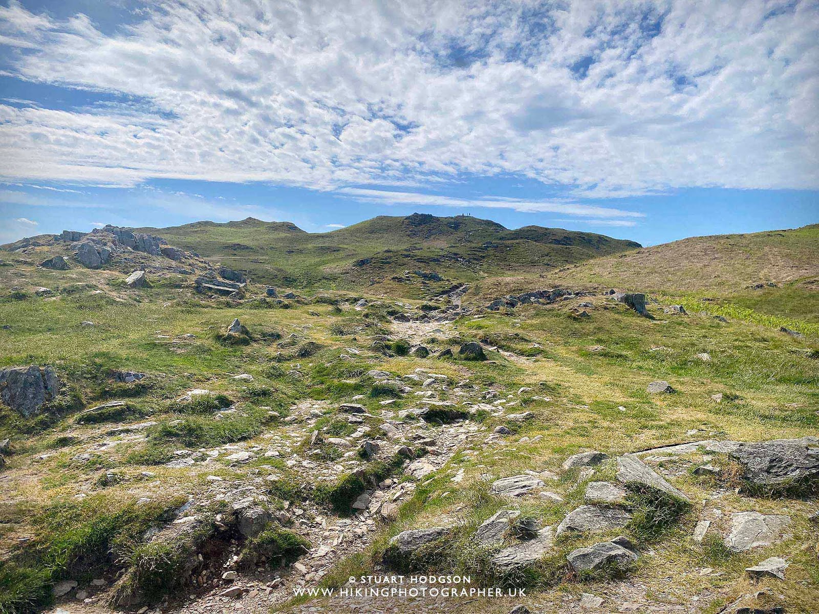 |
| Still a bit to go to reach the actual summit of Loughrigg Fell! |
 |
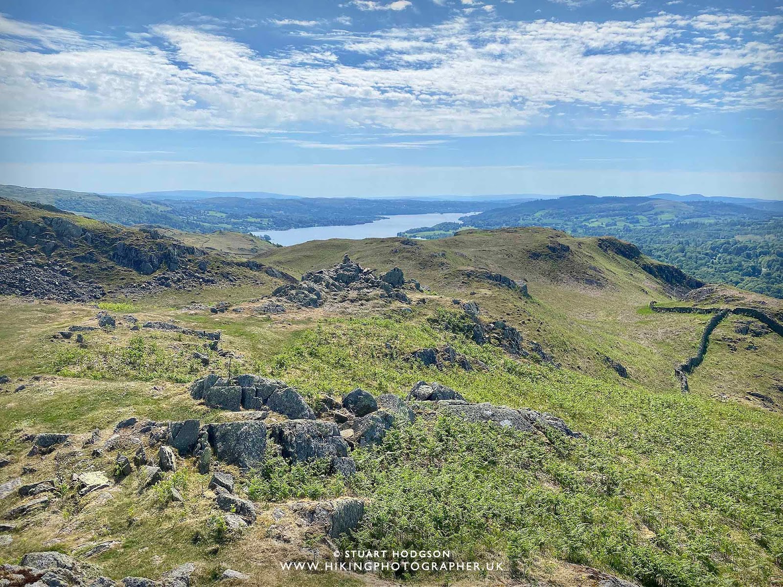
| You get some really nice views into the Langdale valley up here too |
 |
| Made it – the summit and the first view of Windermere |
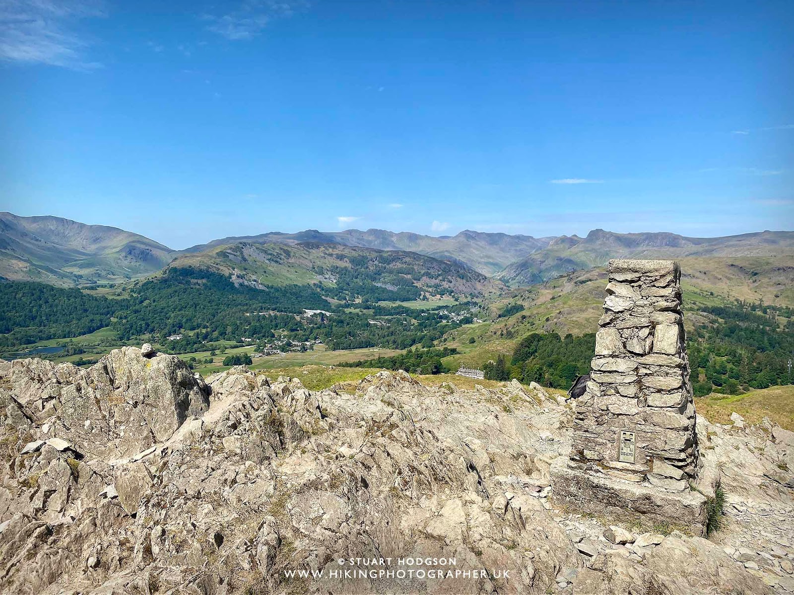 |
| On the summit looking towards the Langdales |
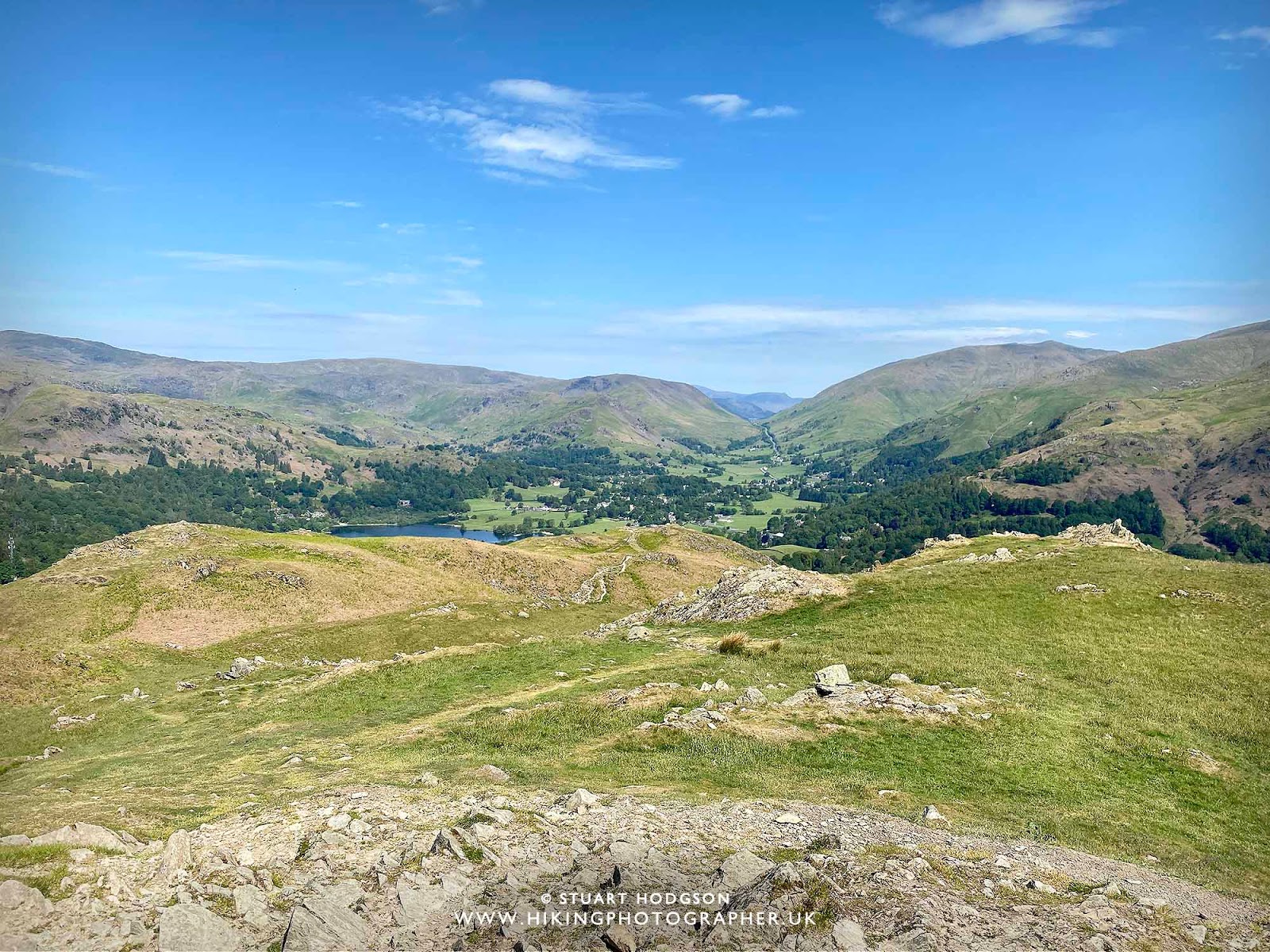 |
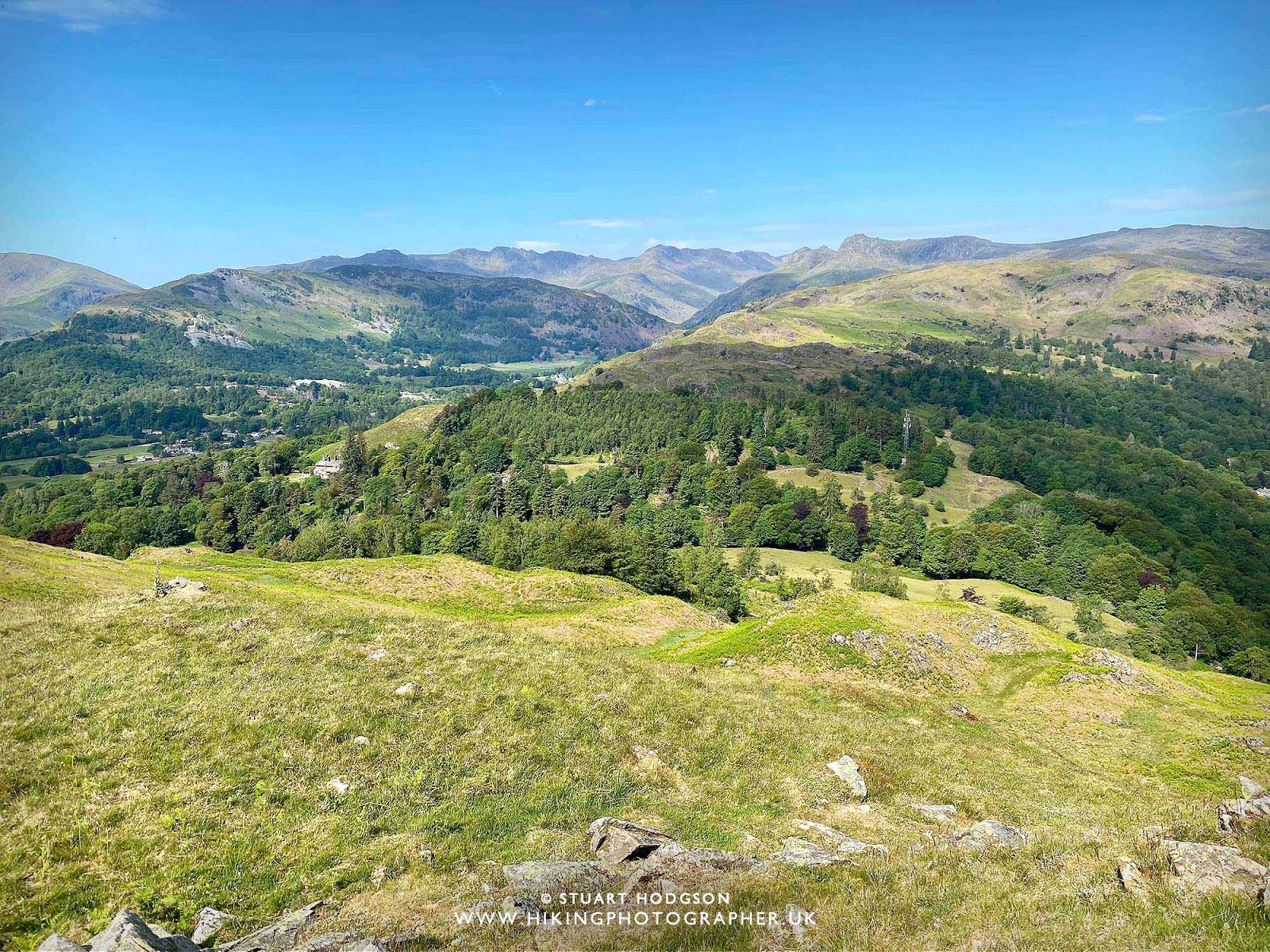
| Looking at the path we’ve just care up with Grasmere poking through in the distance |
 |
| You can also see Elterwater from up here |
 |
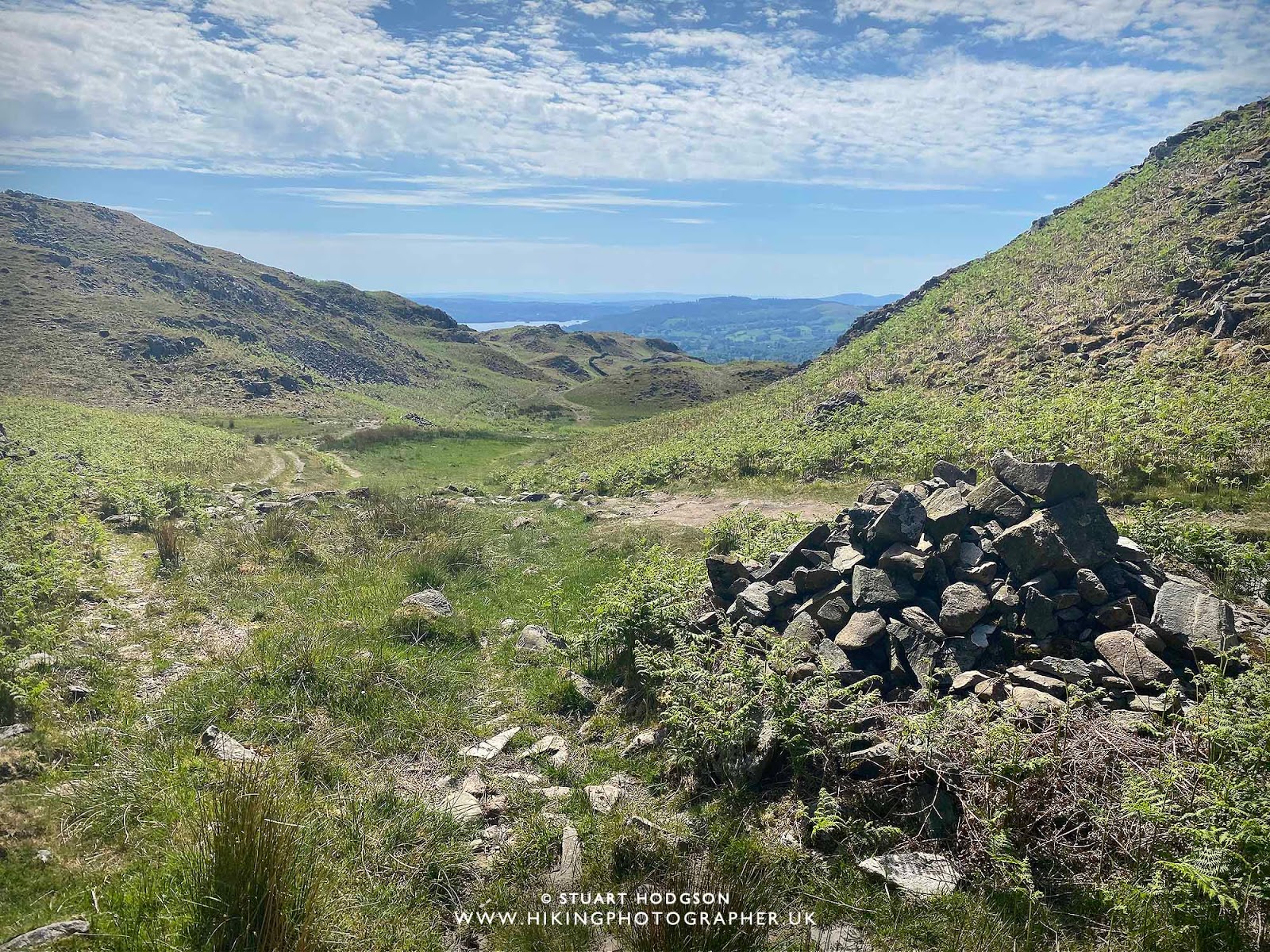
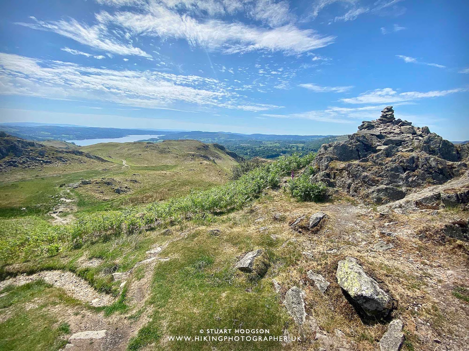
| On the decent the path to take is to the left on the cairn – the more well-market path to take |
 |
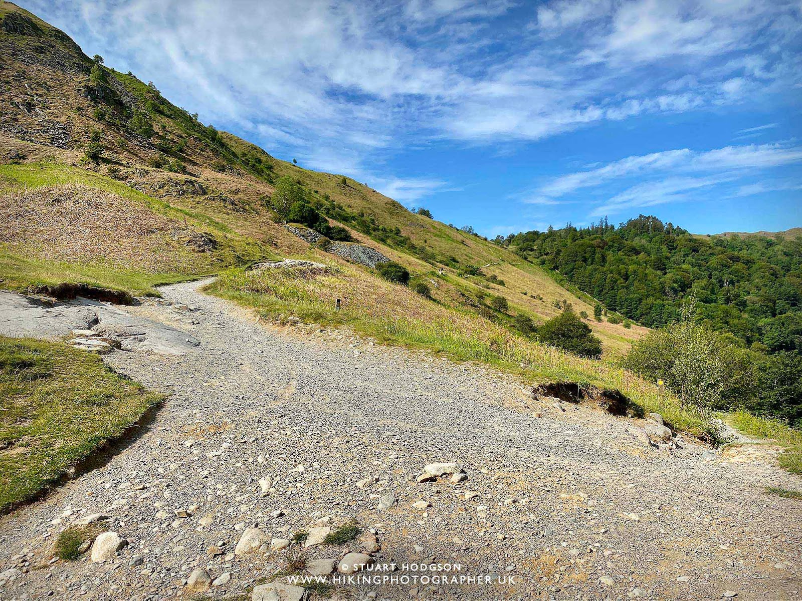
| Th path is pretty easy to follow throughout this walk |
 |
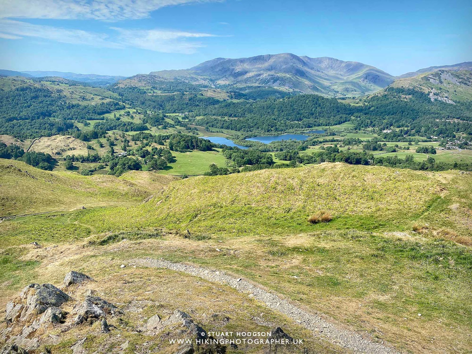
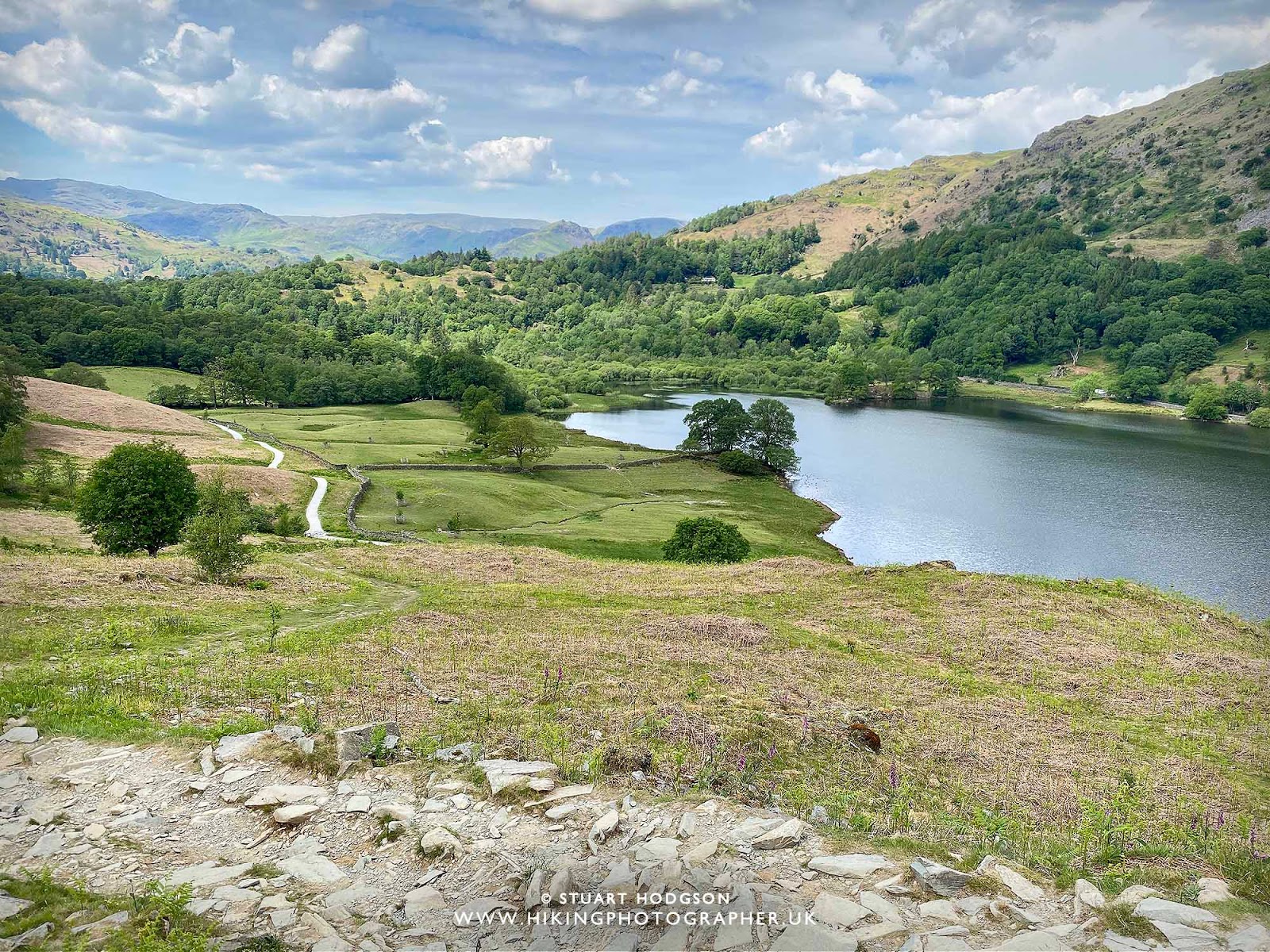
| You’ll get some amazing views of Loughrigg Tarn on this walk also – as you can imagine this place also looks beautiful in the autumn! |
 |
| Heading towards Windermere |
 |
| Stopping to again admire the views of Loughrigg Tarn – absolutely stunning |
 |
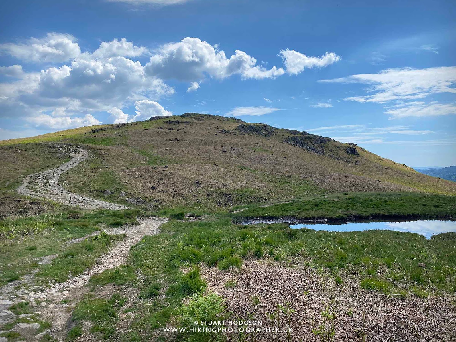
| As long as you stick to the well-defined paths you can’t get lost up here |
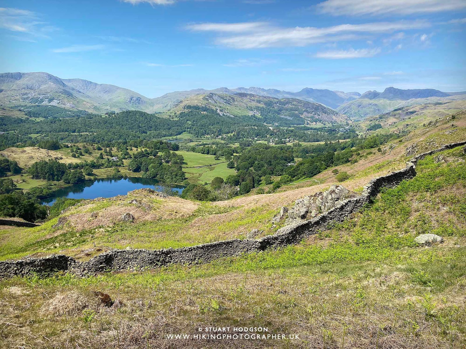 |
| The stone walls in the Lake District are a thing to admire – so much time must have went into their construction |
 |
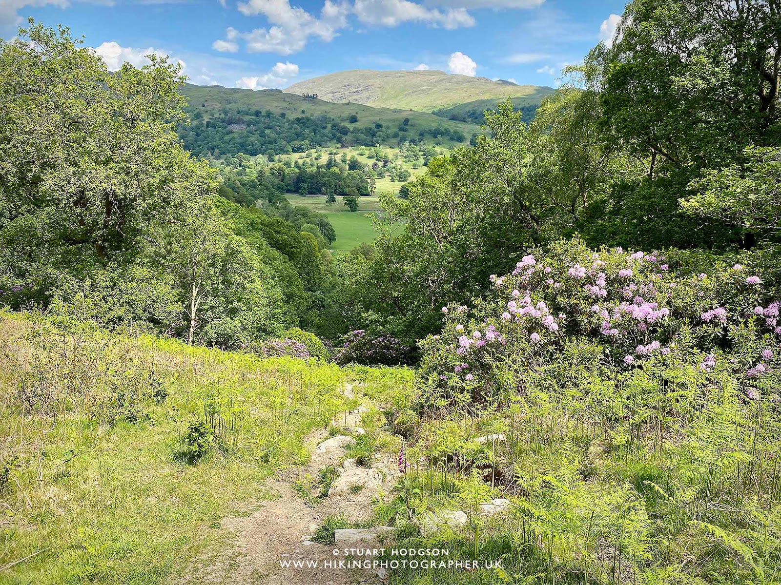
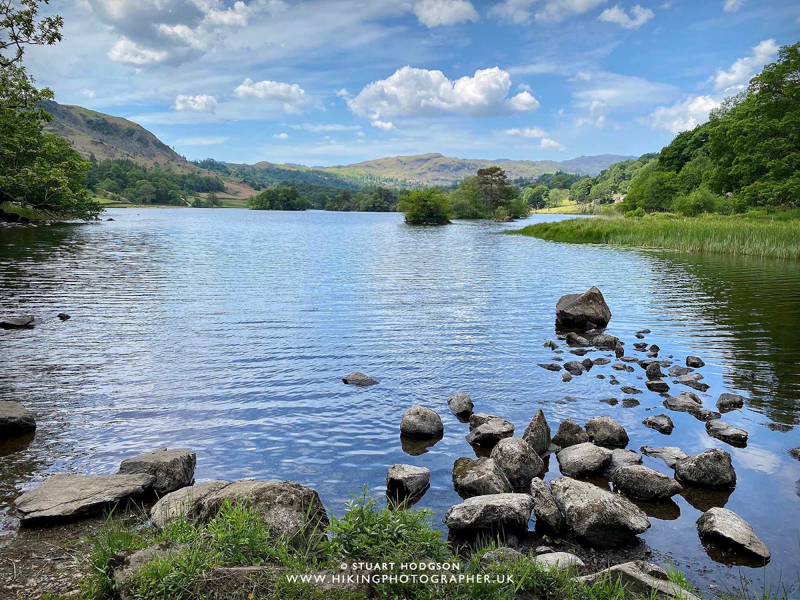
| I get a bit snap happy of Loughrigg Tarn with the Langdale Pikes in the distance – I love the composition of the view |
|
| I decide to stay here a while, bask in the sun and admire the stunning views of Loughrigg Tarn from Loughrigg Fell with the Langdale Pikes in the distance |
 |
| You get the best views of Windermere from Ivy Crag and its another great place to stop |
 |
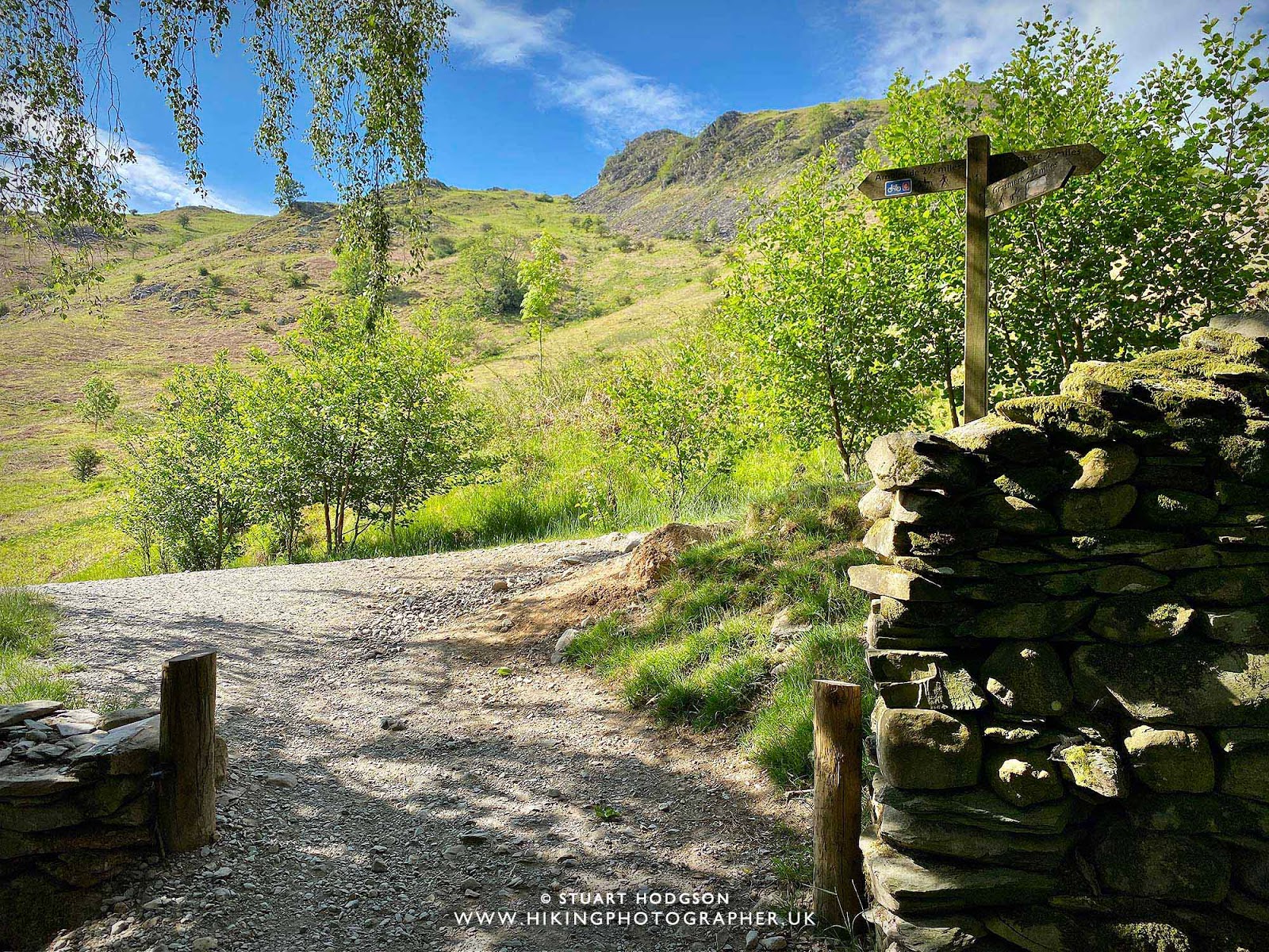
| Quite a few paths intersect here so be mindful to choose the right one! On this walk we turn left |
 |
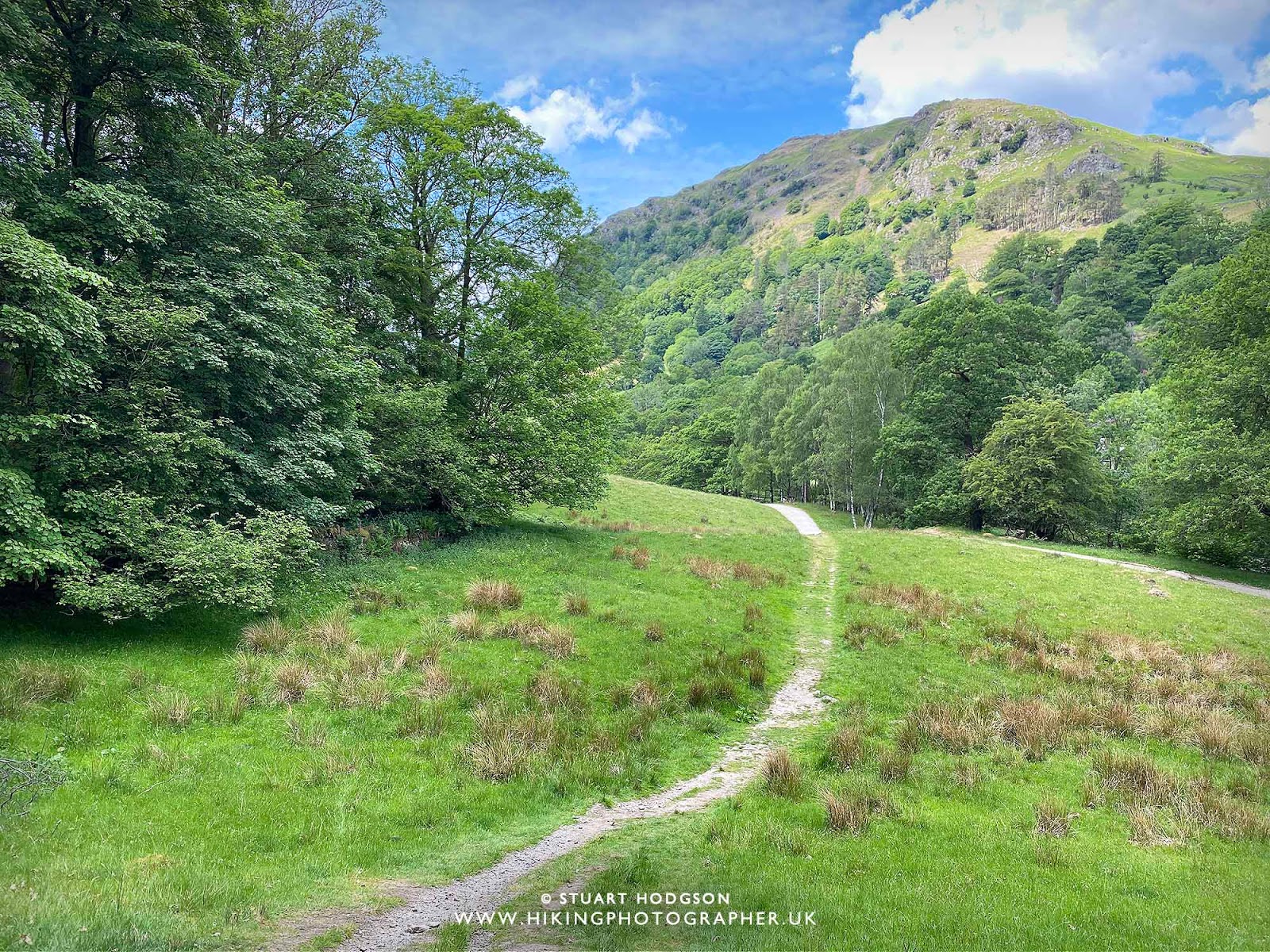
| Heading downhill now to Rydal Water |
 |
| It’s nice and sheltered on this section the walk next to Fox Ghyll and the quietest part – I don’t pass anyone here |
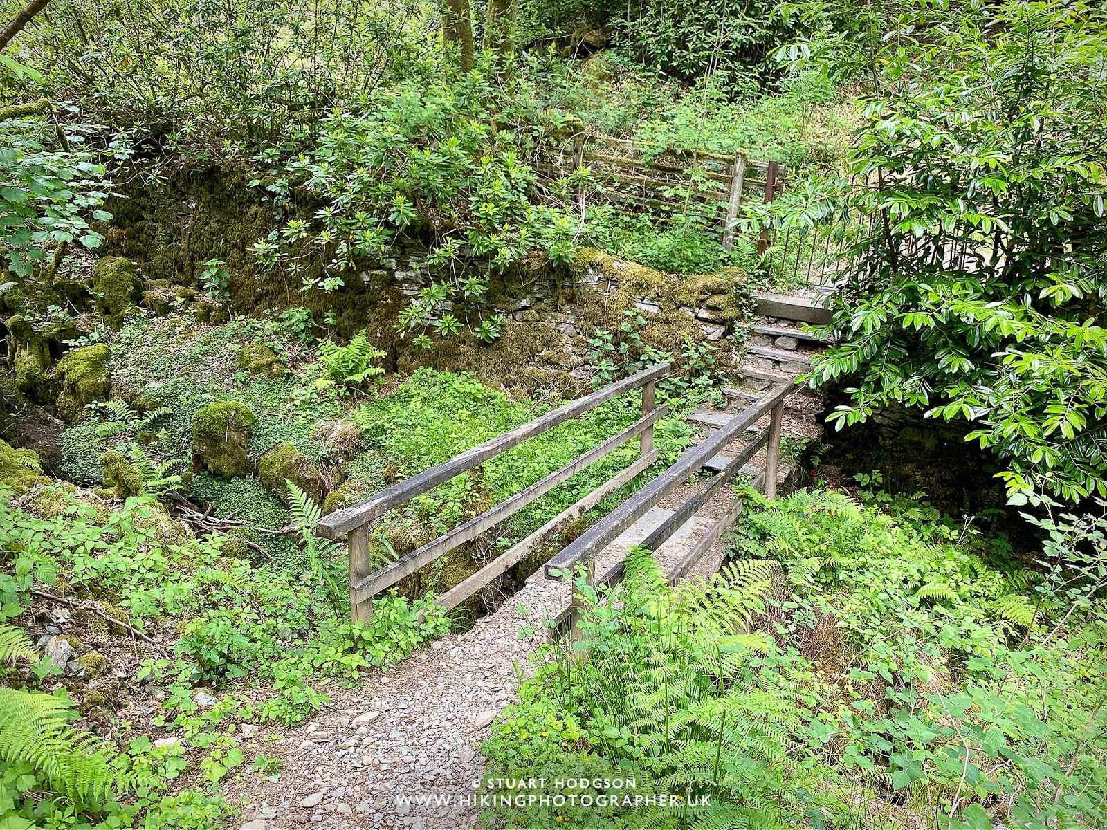 |
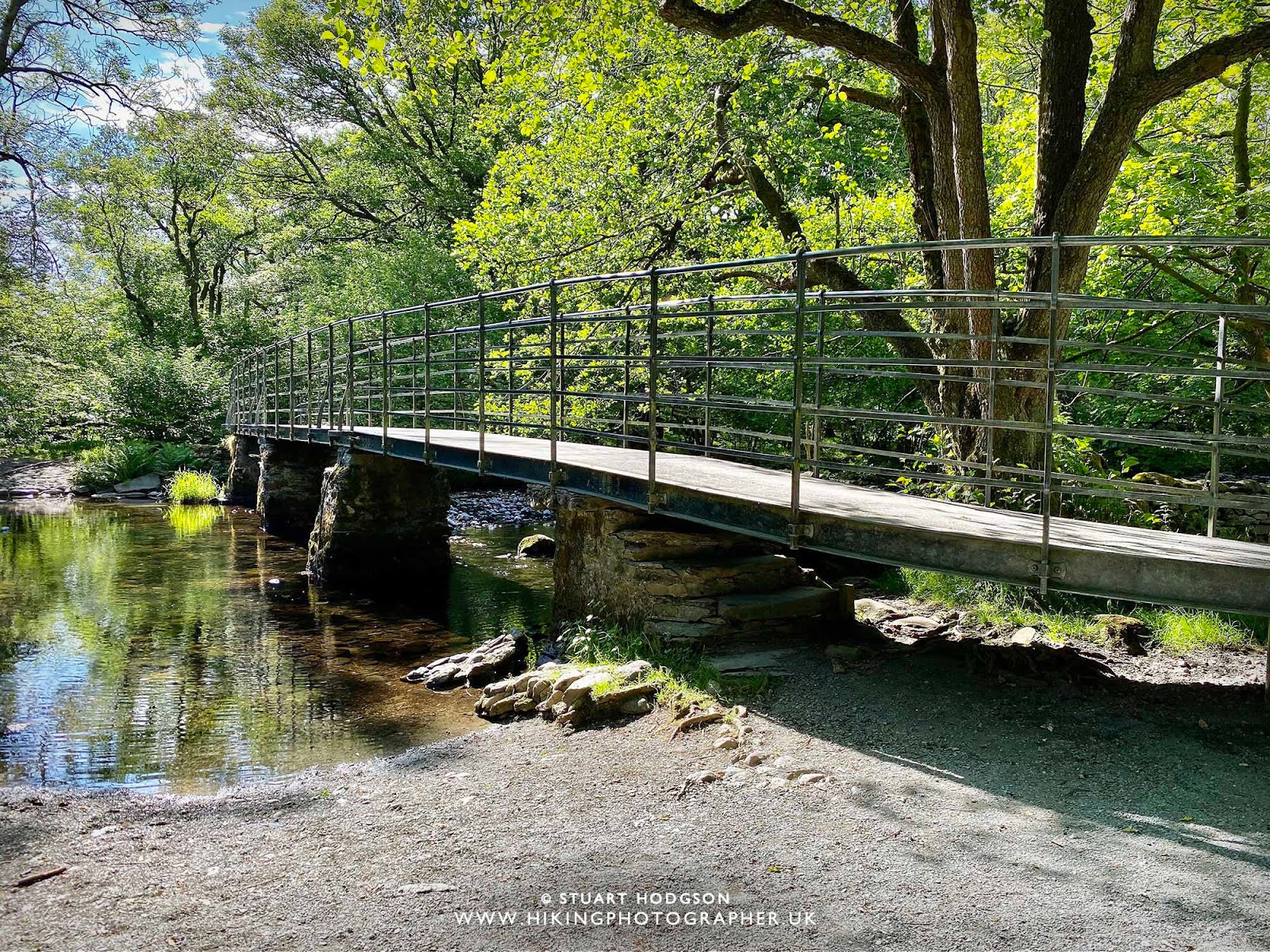
| The bridge over Fox Ghyll |
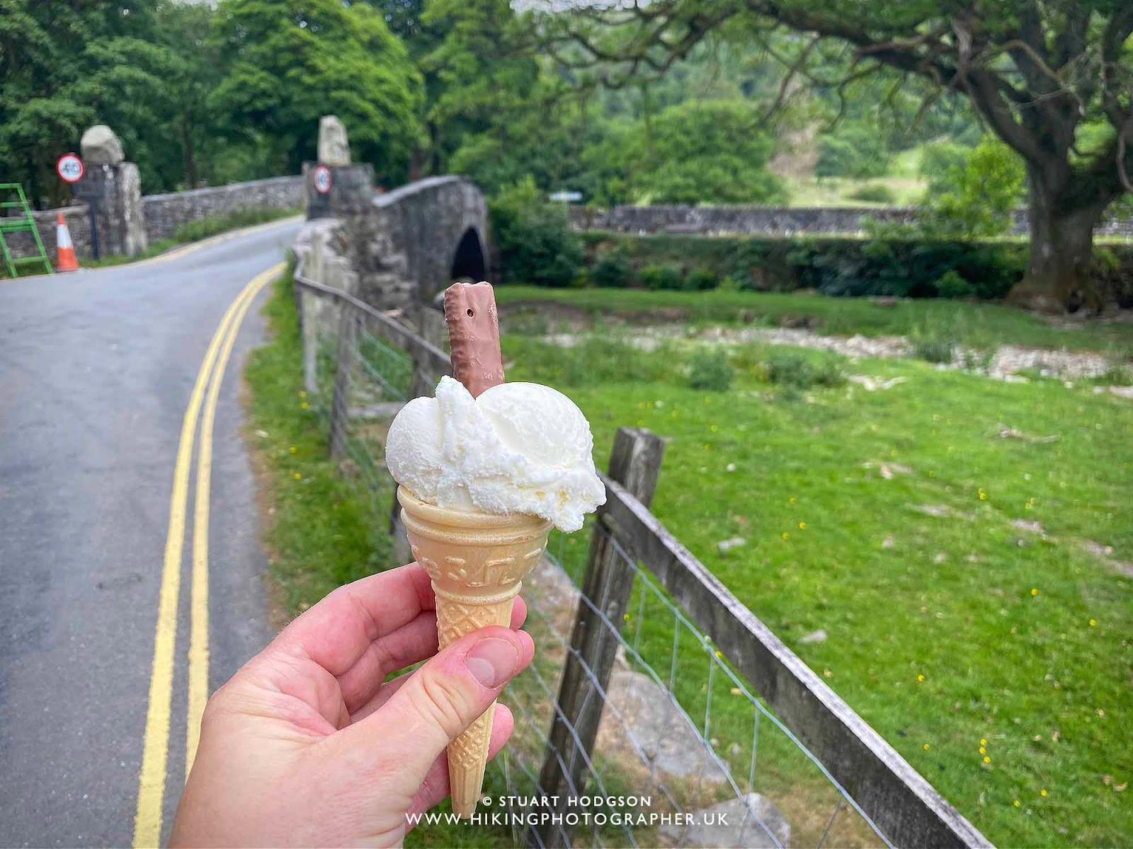 |
| Bonus – there’s an ice-cream van at Pelter Bridge 🙂 |
 |
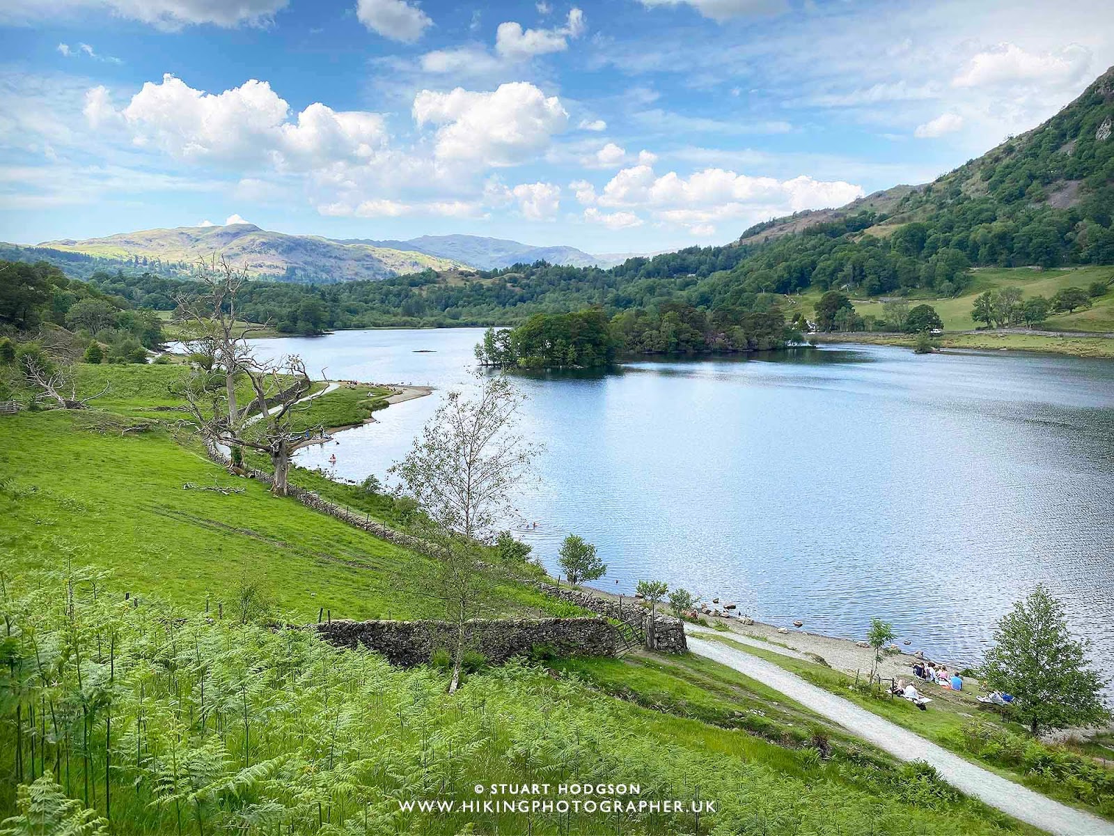
| The path now heads towards Rydal Water |
 |
| A chance to enjoy another stop on the shores of Rydal Water |
 |
| Once on Rydal Water – take the path that leaves the shoreline path towards the disused quarries as there’re some old caves there that you can explore |
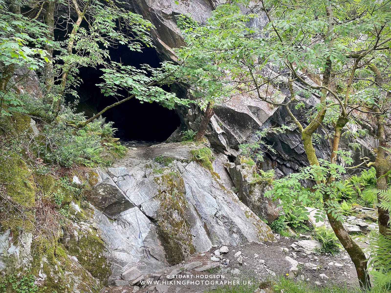 |
| Cave 1! |
 |
| Cave 2 – you can actually go into this cave at Rydal Water |
 |
| It’s pretty big in here |
 |
| Its now a leisurely stroll back down to White Moss Woods |
 |
| The walk finishes where it started – White Moss Woods 🙂 |
As ever I hope you have enjoyed this little write up and photos and it inspires you to want to visit the area and give the route a go. If you have any questions about this route – just post a comment and I’ll try and answer.
SUMMARY OF LOUGHRIGG FELL WALK IN THE LAKE DISTRICT
Loughrigg Fell is a picturesque hill located in the Lake District National Park in Cumbria, England. Standing at 335 meters (1,099 feet), it may not be the highest peak in the area, but it offers one of the most rewarding and accessible walks in the region. The fell is particularly popular among hikers and nature enthusiasts due to its stunning views, which encompass the surrounding lakes, valleys, and distant mountains. Its unique position offers panoramic vistas of Windermere, Grasmere, and Rydal Water, making it a favorite spot for those looking to experience the beauty of the Lake District without the challenge of a more strenuous ascent.
Situated between the villages of Ambleside and Grasmere, Loughrigg Fell lies at the heart of one of the most visited parts of the Lake District. Its central location makes it easily accessible, with a network of well-maintained paths that lead hikers to the summit. From here, you can enjoy a variety of landscapes, from lush woodlands to open fellside, providing a diverse and ever-changing experience. The fell is also close to other famous Lake District landmarks, such as the Langdale Pikes and the quieter Rydal Mount, which only adds to its appeal for walkers and photographers.
What makes Loughrigg Fell truly special is its versatility and the sense of tranquility it offers. Unlike some of the more crowded peaks in the Lake District, Loughrigg Fell provides an opportunity to explore a quieter, more serene side of the region. Whether you are enjoying the sight of the sun setting over Windermere or the stillness of the morning mist rising from Grasmere, Loughrigg Fell holds a special place in the hearts of those who visit. Its easy accessibility, breathtaking views, and peaceful atmosphere make it a must-visit for anyone looking to experience the charm of the Lake District.


This is a great blog post on the walk of Loughrigg Fell in the Lake District. Your photos are spot on too, and show off the walk to the top so well. And who doesn't love an ice-cream during a good walk on a sunny day in the Lakes. Great read and love the route that you took, certainly on the best.
Thanks – that’s great to know you enjoyed that write up on the Loughrigg Fell walk