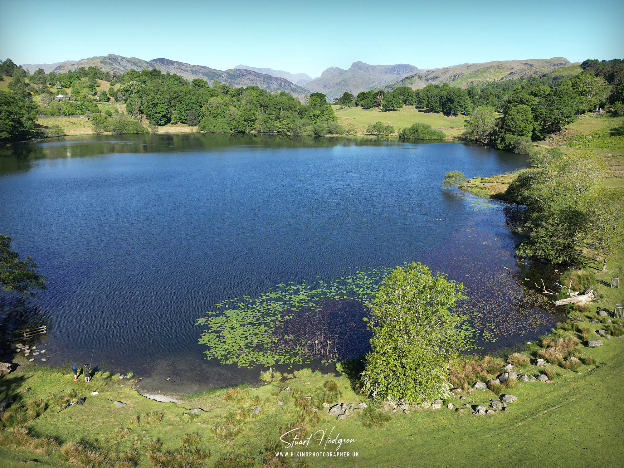
Loughrigg Tarn is a small, tranquil lake nestled beneath the slopes of Loughrigg Fell in the Lake District, just west of Ambleside. Surrounded by gently rolling hills and lush greenery, this hidden gem offers a peaceful escape from the busier tourist spots nearby. The tarn’s mirror-like surface beautifully reflects the surrounding fells, especially the distinctive peaks of the Langdale Pikes on a clear day. Popular with walkers and photographers alike, Loughrigg Tarn is an ideal spot for a quiet picnic and place to stop on this walk. Its serene charm and natural beauty capture the essence of the Lake District’s quieter side.

A SUPERB LAKE DISTRICT WALK TAKING IN LOUGRIGG TARN & ELTERWATER
WALK OVERVIEW:
DISTANCE: 3.9 miles
TIME: 1.5 hours
TOTAL ASCENT: 400ft
DIFFICULTY: MODERATE

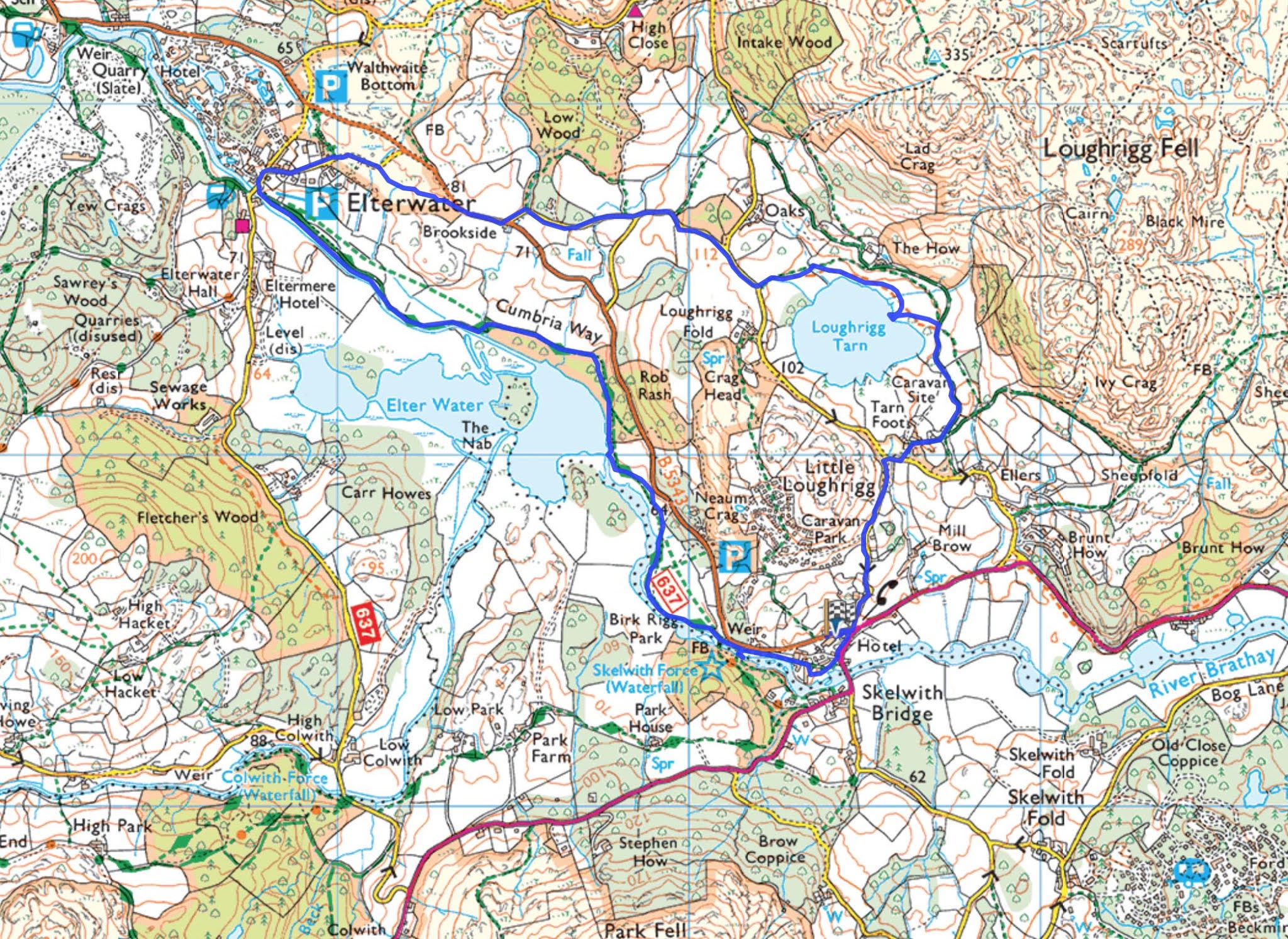
LOUGHRIGG TARN & ELTERWATER MAP ROUTE
PHOTOS OF WHAT TO EXPECT
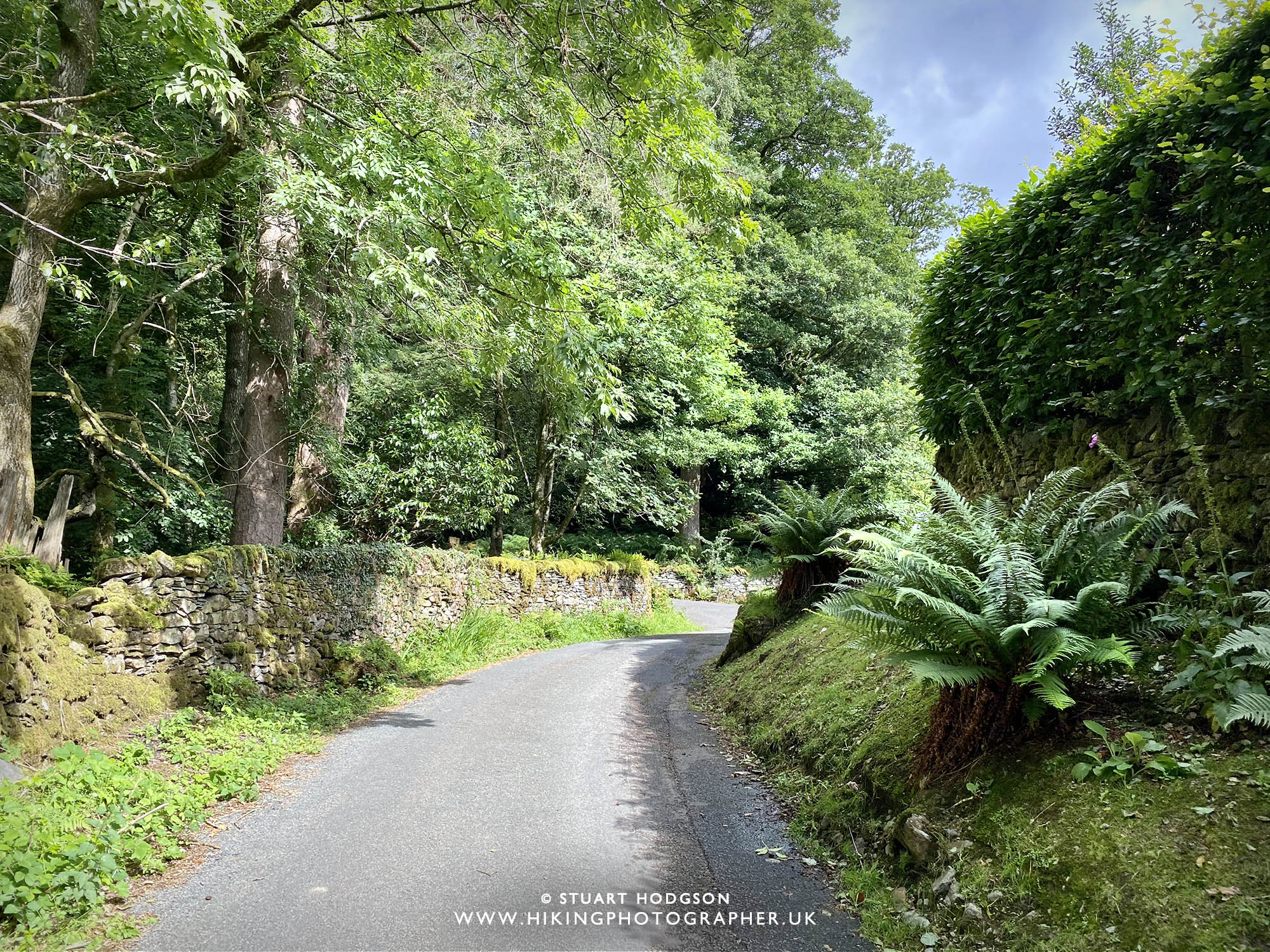 |
| From Skelwith Bridge the walk starts on a quiet road uphill towards Tarn Foot farm. It pretty steep for a road, but I’d be surprised if you pass a car on this little narrow road. |
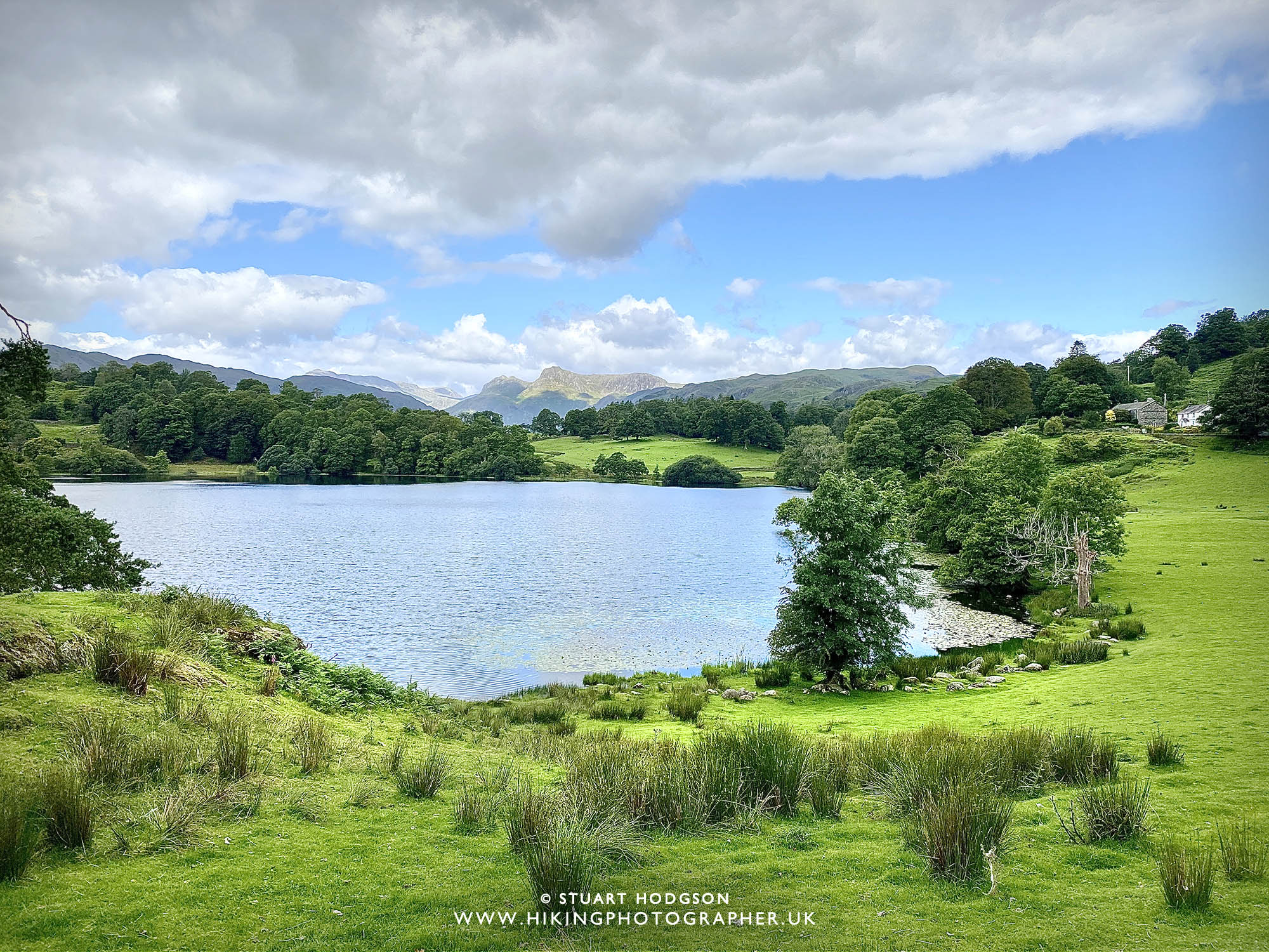 |
| After passing through Tarn Foot farm you’ll get the best views of Loughrigg Tarn with the Langdale Pikes in the distance |
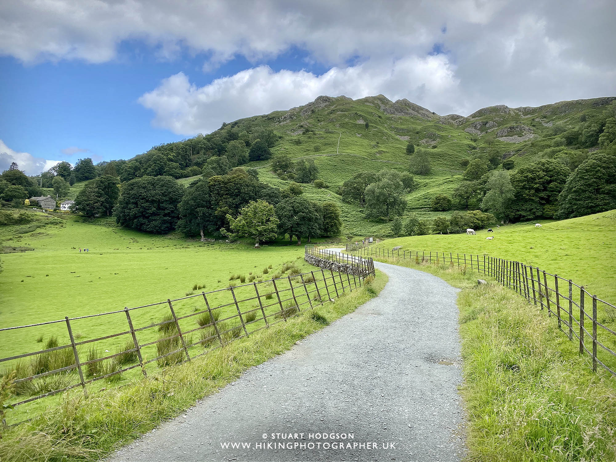 |
| Looking towards Loughrigg Fell – another brilliant walk, but today we’ll keep it low level and head for the tarn edge. |
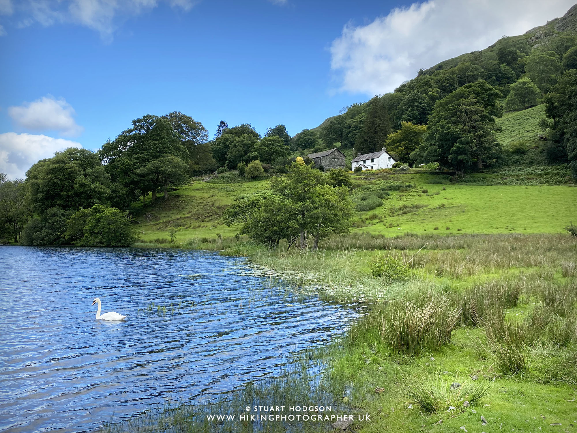 |
| Loughrigg Tarn is a nice place to stop, and also one of the Lake Districts best spots for wild swimming if that’s you thing ! |
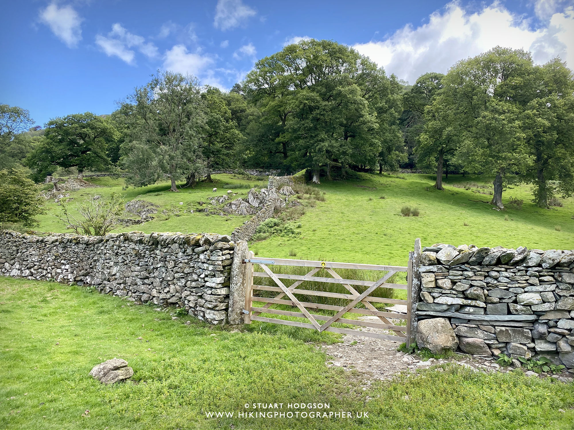 |
| We’ve leave Loughrigg Tarn here and head for another minor road. |
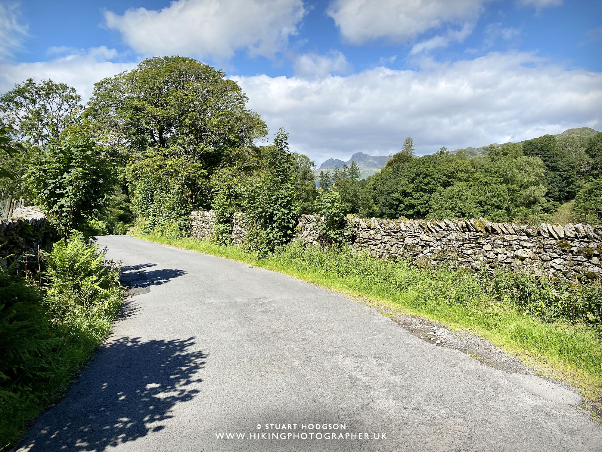 |
| Another glimpse of the iconic Langdael Pikes! I normally don’t like walking on roads, but the ones we visit on on this walk are really quiet |
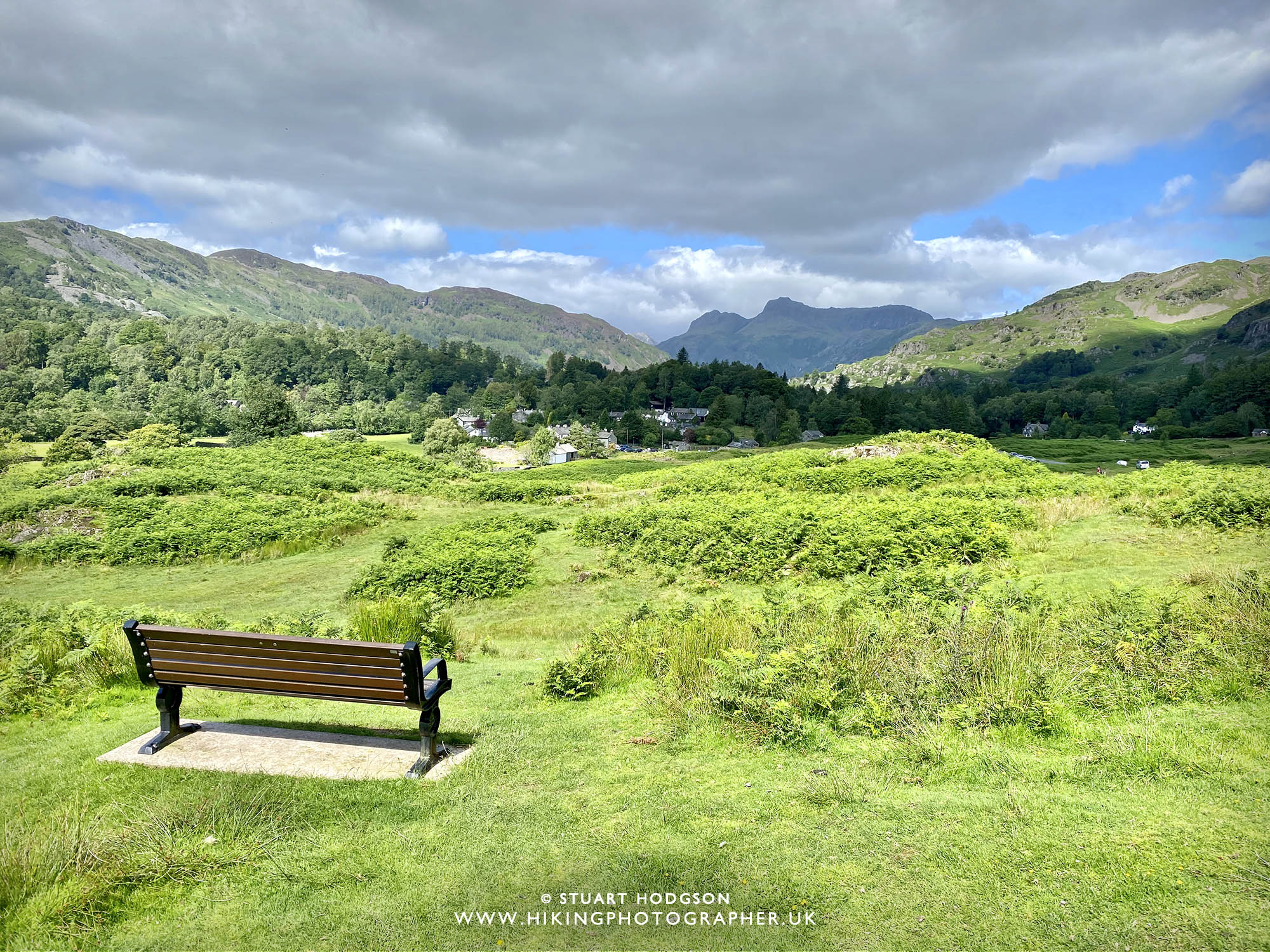 |
| Another great vantage point looking towards Elterwater Village and the Langdale Pikes. From here make your way down to the village on teh various grassy paths |
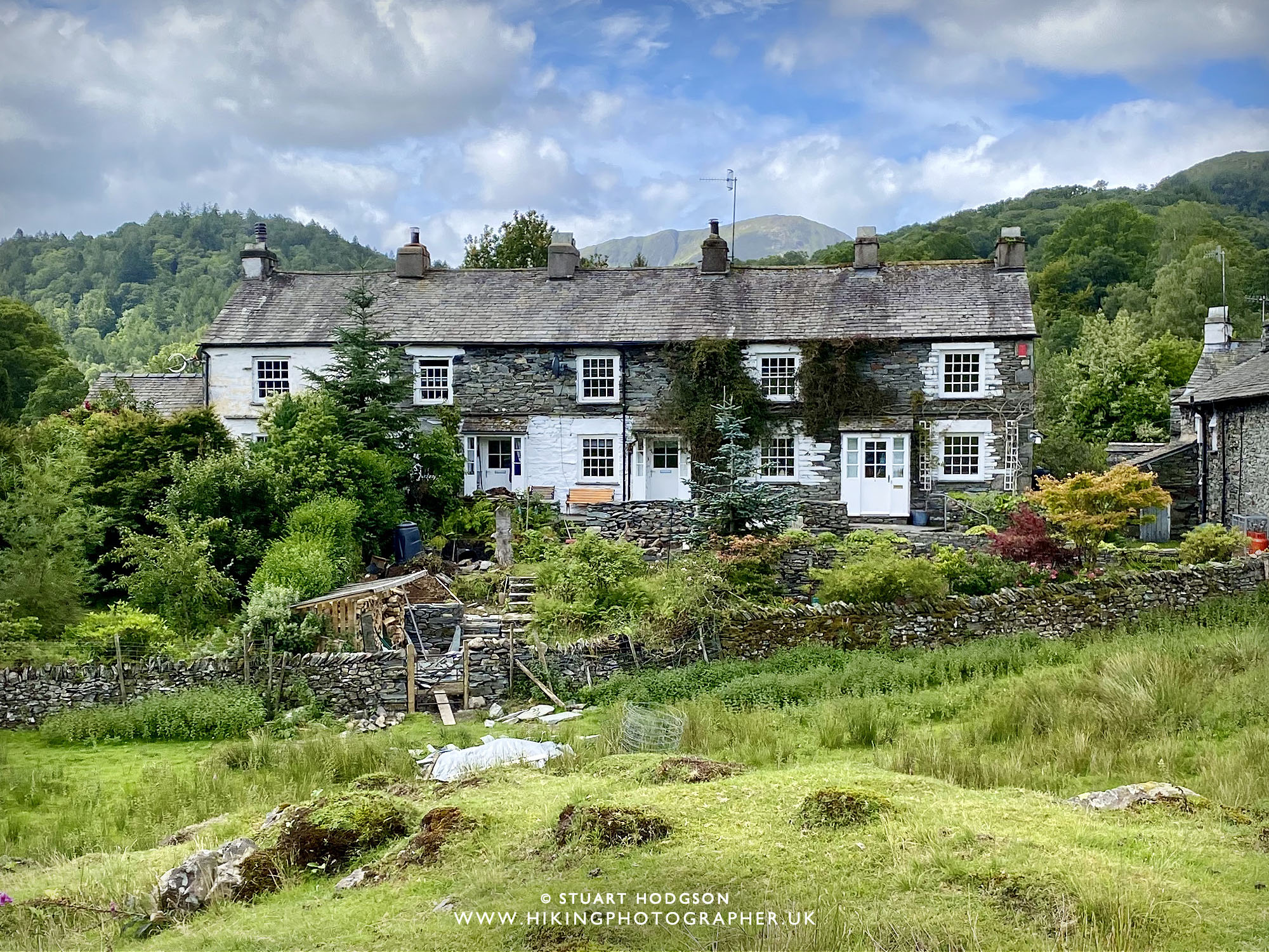 |
| Elterwater Village consists of lot’s of quaint Lake Dustrict cottages and plenty of holiday cottages to rent if you would like to stay in the area longer |
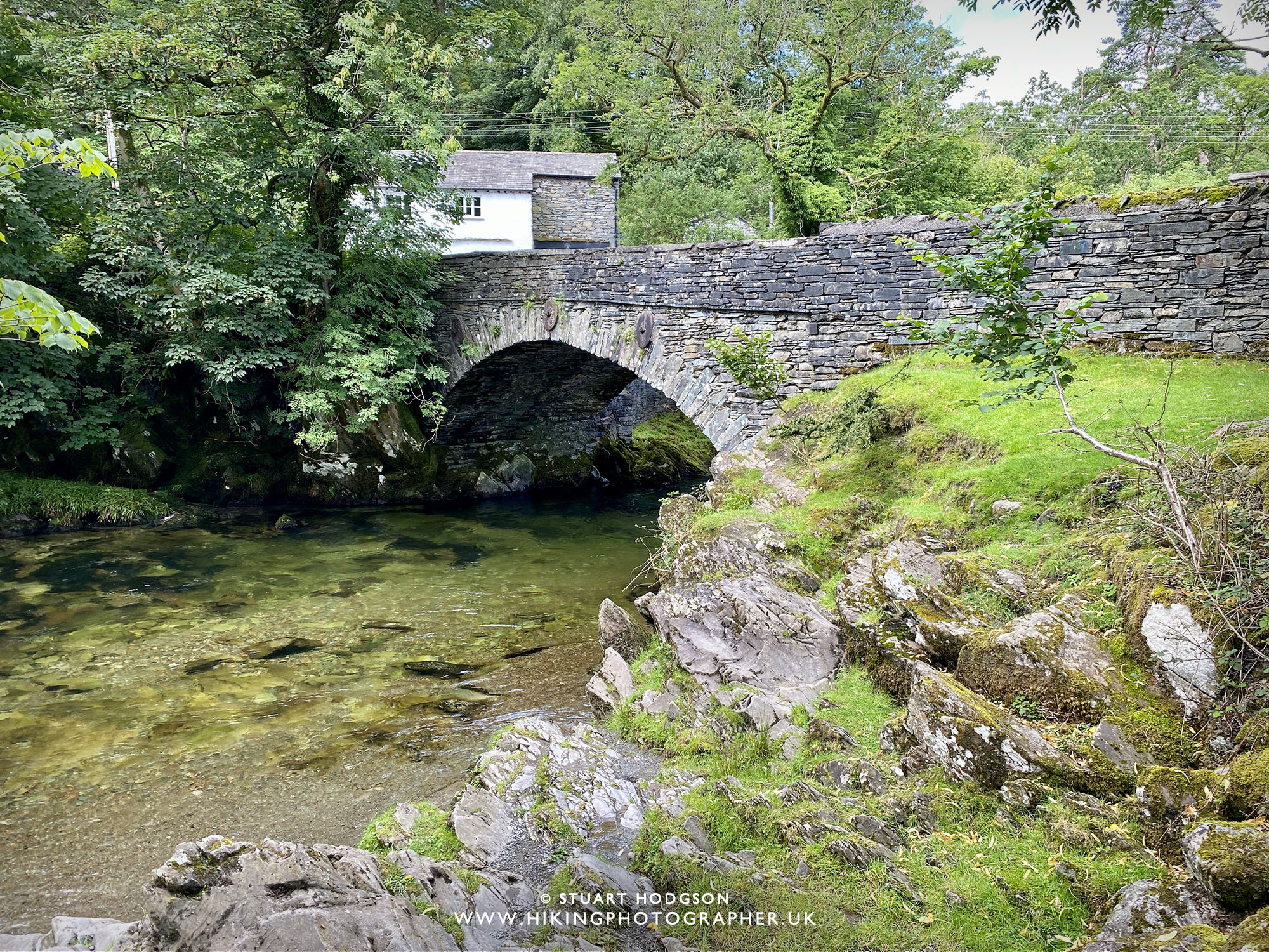 |
| Bridge over the Over Brathay – we won’t be crossing not – but will now be following the river on the Cumbrian Way back to Skelwith Bridge. |
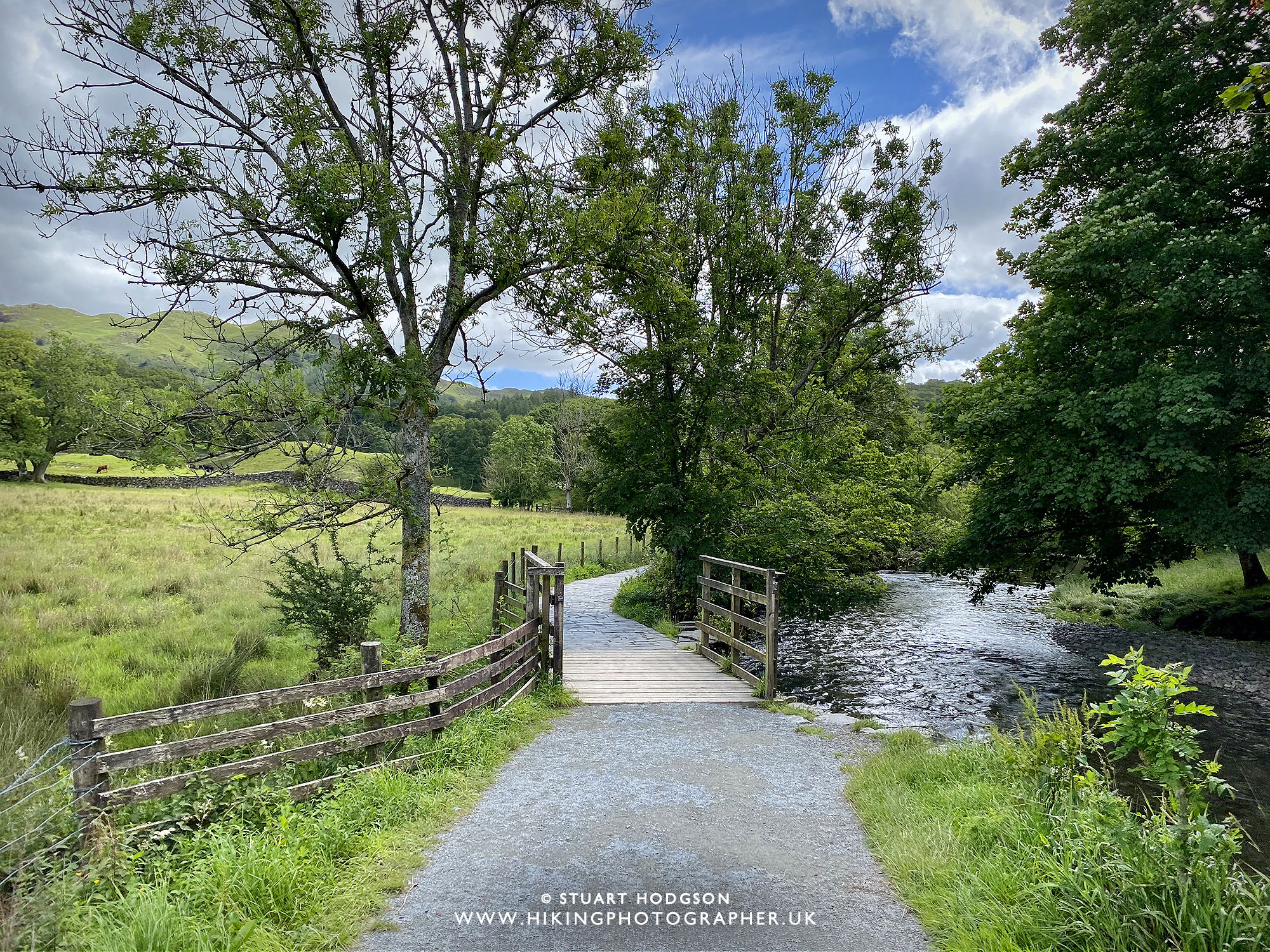 |
| Walking on the Cumbrian Way from Elterwater which is very flat and accessible and great for scooters & wheelchair uses |
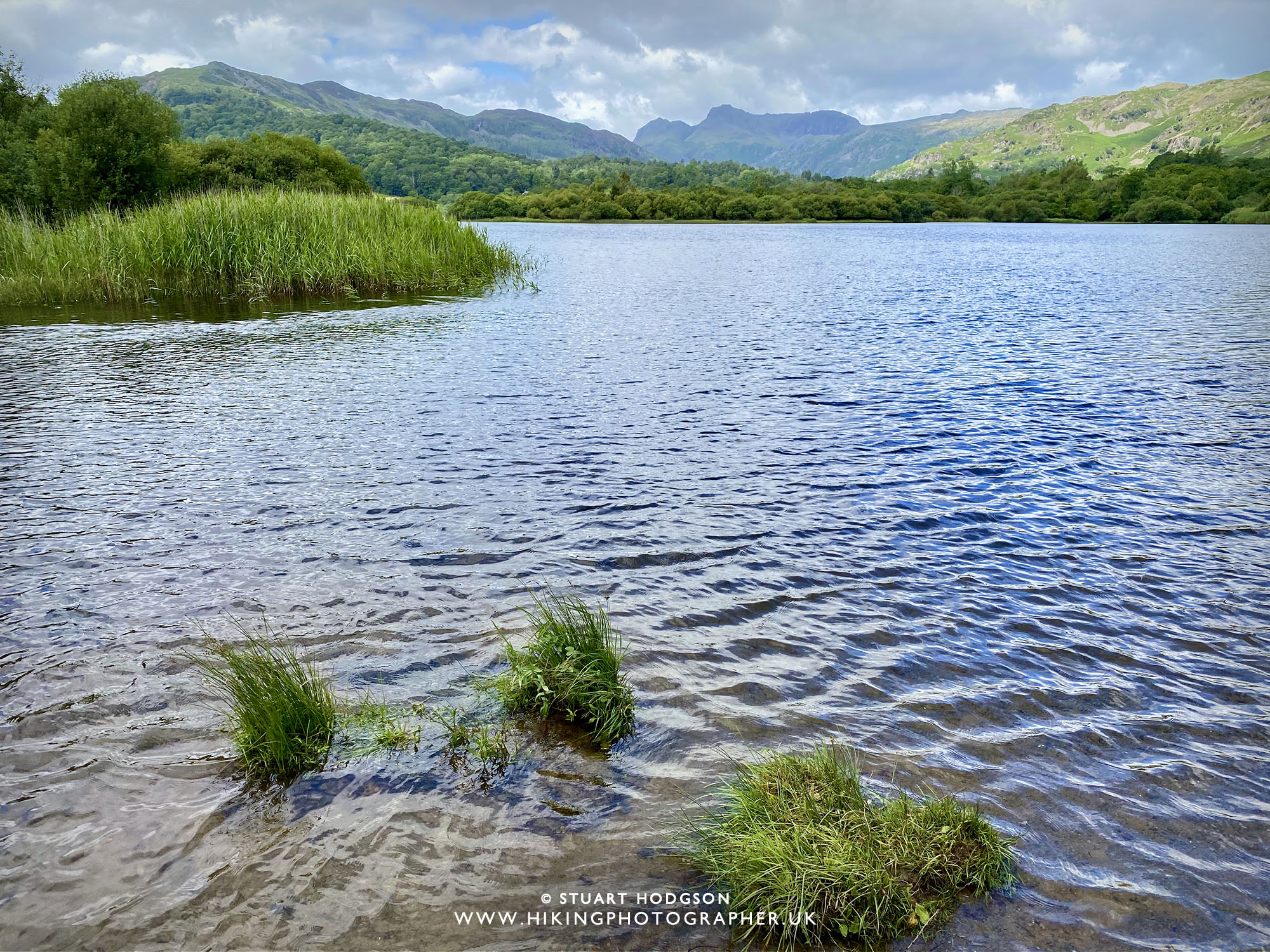 |
| Cracking views of Elterwater on this walk! |
 |
|
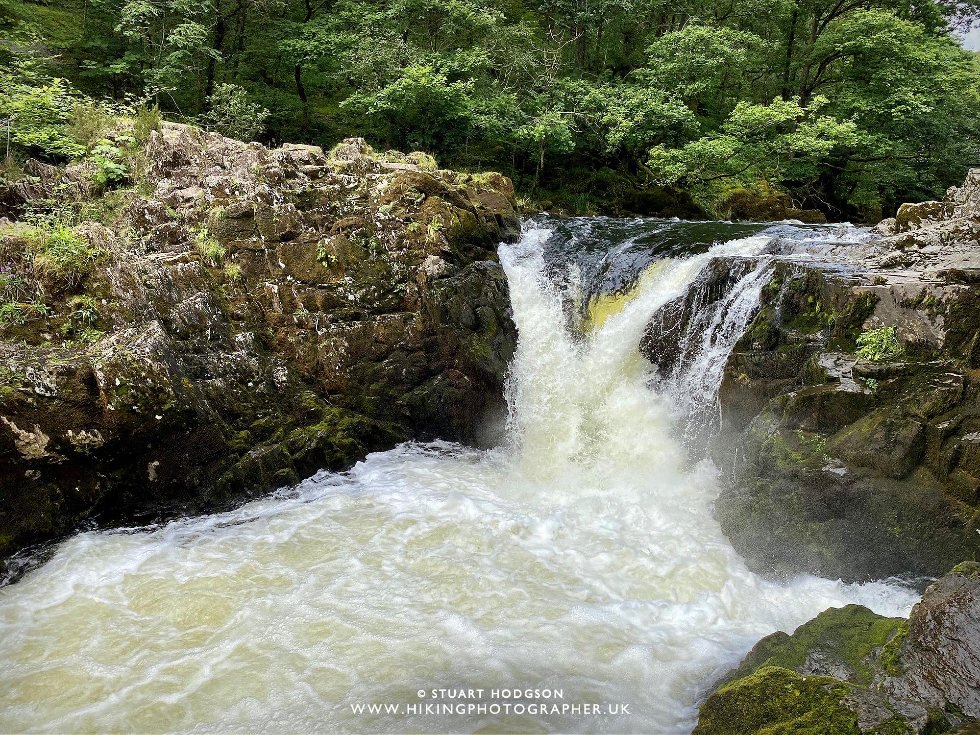
And finally another great view you will get on this short walk is of Skelwith Force Waterfall!
|
WALKS YOU MIGHT LIKE
I don't have those annoying ads on my website to keep it user friendly (so don't get any ad income) If you've found this site useful and want to give a token of appreciation - you can make a small donation via 'buy me a coffee' to fuel more blogging and help towards website running costs (which I pay out my own pocket as it's just a hobby). Cheers! Stu



0 Comments