 |
|
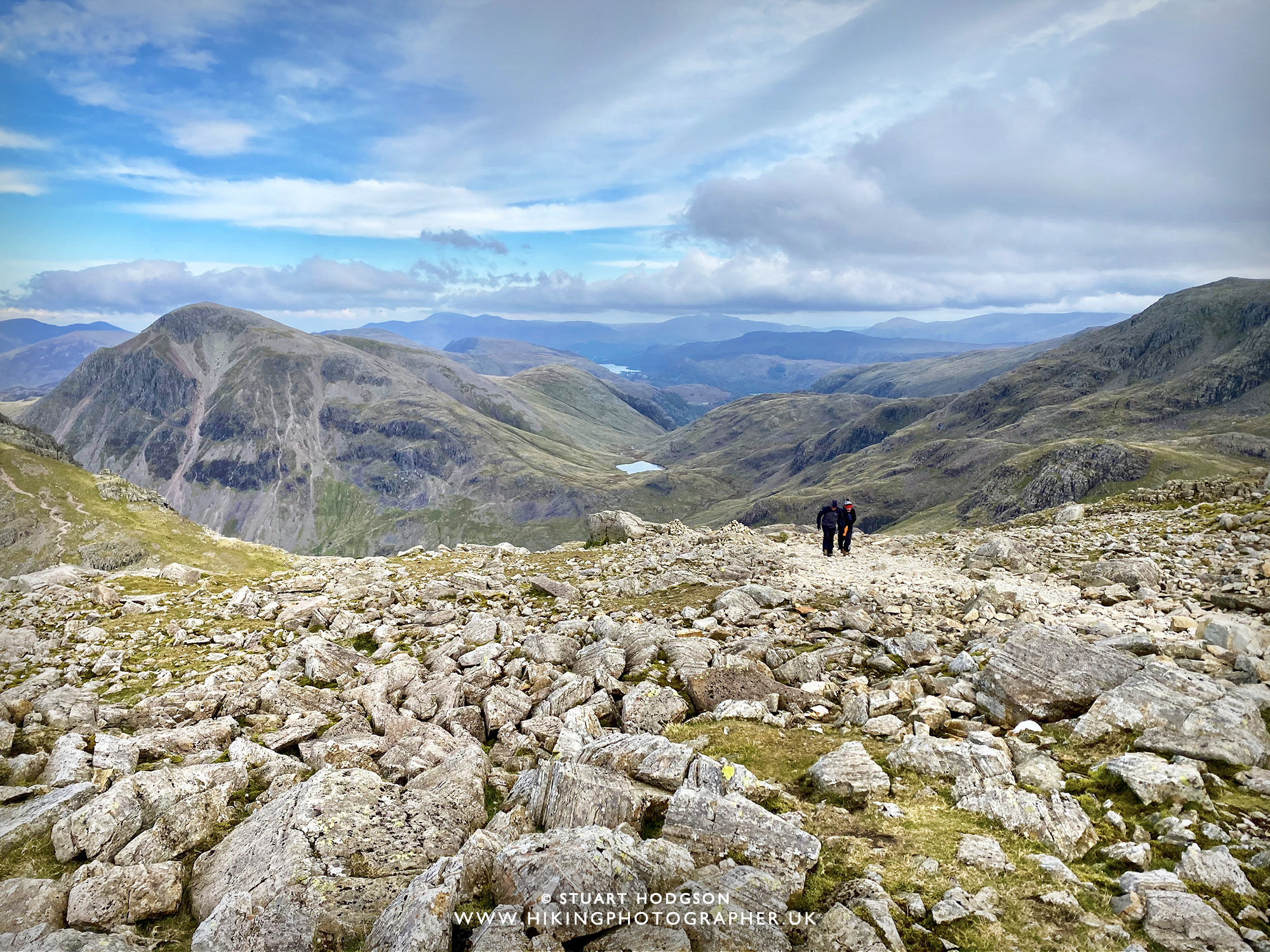
You’ll get incredible views like this on your Scafell Pike walk. There are quite a few walking routes up to Scafell Pike – but the Corridor Route from Seathwaite is the best way in my humble opinion.
|
Scafell Pike – The BEST WALK IS VIA THE Corridor Route:
The Corridor Route to Scafell Pike is often referred to as the Connoisseurs route (as those experienced in walking the various Scafell Pike routes will recommend this particular route). You may well only ever climb Scafell Pike once in your life, so make sure you choose this walking route & way up, and not the more popular & shorter route from Wasdale which has a lot less variety and is more of a boring, busier, steeper uphill slog.
Scafell Pike is Englands highest mountain – so as you would expect it’s a steep walk in sections and shouldn’t be underestimated. The Corridor Route is longer than other Scafell Pike routes but there is nothing too technical required on this route, ie. You don’t need to do any major scrambling (using your hands) or climbing (using ropes etc) So if you have good fitness, mobility and time – then I would thoroughly recommend this route as the best, most scenic way to climb to Englands highest mountain summit.
WALK OVERVIEW:
WALK DISTANCE: 8.62 miles
WALK TIME: 6 hours
WALK DIFFICULTY: HARD

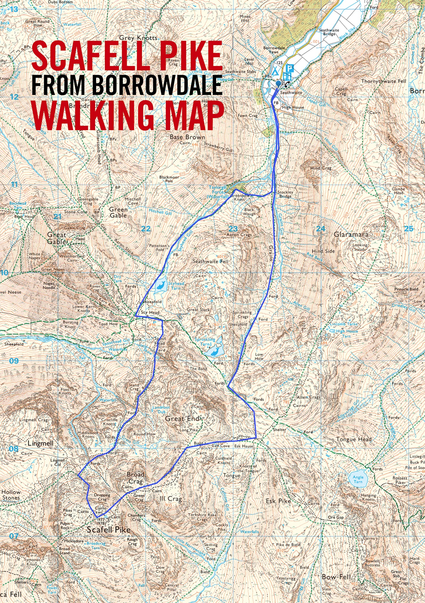
Scafell Pike Walk map, via the Corridor Route from Seathwaite in the Lake District:
OS Maps - my Recommended App
I've tried a few map apps on my phone and settled on OS Maps, to access detailed UK Mapping. You can plan, save and download mapo routes, such as those on this site, direct to your phone, and then see where you are exactly on any route even when you have no signal - so you can't get lost! It's helped me discover loads of new walking routes too and you can get a free 2 week trial via the button below.
SCAFELL PIKE FAQ:
How long does it take to walk up Scafell Pike?
The length of time to walk to Scafell Pike depends on the route you take. The quickest route from Wasdale takes around 3-4 hours up & down, depending on fitness. The longer Corridor Route, which I think is the best and most interesting route takes around 5-6 hours.
How long does the Scafell Pike Corridor route take?
A Scafell Pike walk via Corridor Route takes around 5-6 hours and is 8.4 miles. This is the most scenic and interesting Scafell Pike walk
Is Scafell Pike easy to climb?
A Scafell Pike walk via the more well-known routes requires no particular climbing expertise and is just a long and at times a steep walk. If you have a reasonable level of fitness and walking experience you will be just fine. Just plan accordingly as the weather is a big factor in how easy the walk is. It’s obviously much easier in dry weather, and more difficult in rain, wind and dangerous in snow.
Can a beginner climb Scafell Pike?
Yes, it’s not a very technical walk because no specialist mountaineering equipment is needed. The popular path from Wasdale and The Corridor route are clear paths. However you will need walking footwear and clothing to suit the weather, and good map reading skills so you don’t get lost as there are multiple paths that cross each other.
How high is Scafell Pike?
At 968m (3,209ft), Scafell Pike is England’s highest mountain and is located in the Lake District National Park in Cumbria. Every hiker in the UK will want to summit the UK’s 3 tallest mountains; Ben Nevis (in Scotland), Mount Snowdon (in Wales) & Scafell Pike (in England). Some will try and do them all in 24 hours in the 3 Peaks challenge – but I’m someone who likes to enjoy his walks and the scenery they have to offer and take a few photos along the way – so I’ll choose the best, most scenic & interesting routes, rather than the quickest. This route to Scafell Pike featured on this blog post is just that – the best route to hike to the summit of Scafell Pike.
 |
| Read on to learn about walking the best Scafell Pike Walk via the Corridor Route from Seathwaite, Borrowdale |
MY Photos TO SHOW what to expect on the Scafell Pike Corridor Route:
SCAFELL PIKE WALK SECTION – SEATHWAITE TO STYHEAD TARN:
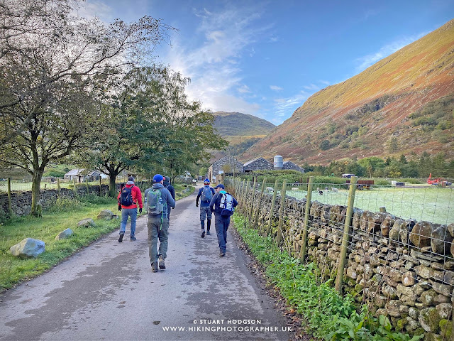 |
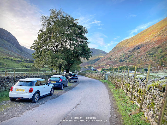
| We got lucky with the weather on the day of this Scafell Pike walk with clear skies and myself and 5 mates set off along the short road to Seathwaite Farm. |
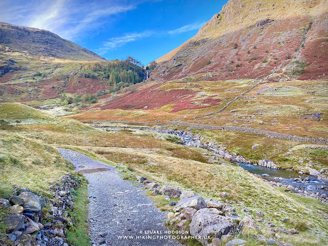 |
| You can tell autumn is setting in with the bracken turning a nice burnt shade of brown |
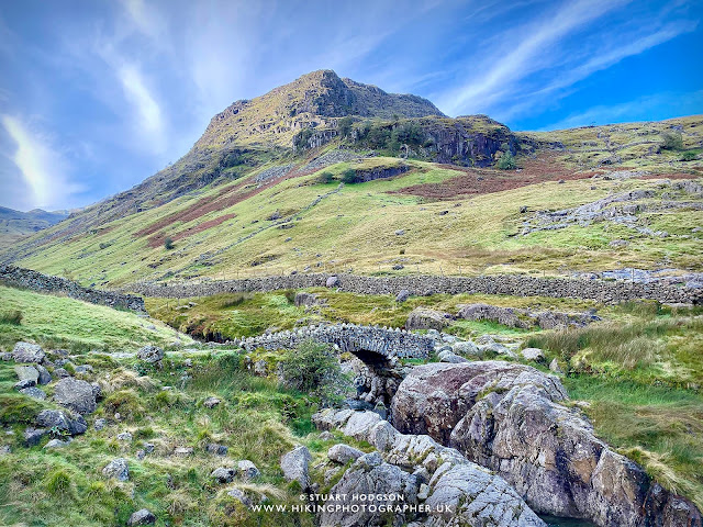 |
| About to cross Stockley Bridge with Seathwaite fell in the background |
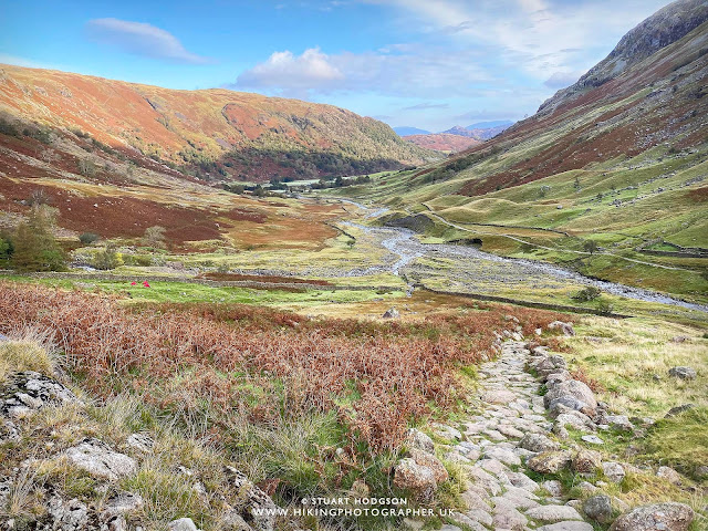 |
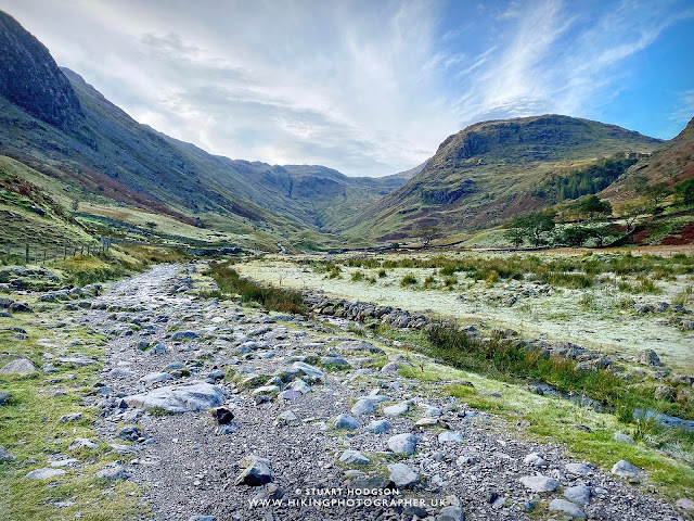
| Looking back over the route we’ve just walked and we start to gain height quite quickly now. |
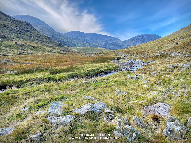 |
| Our first glimpse of Scafell Pike to the left of centre. It doesn’t look the tallest peak but is set back a bit from the other summits. |
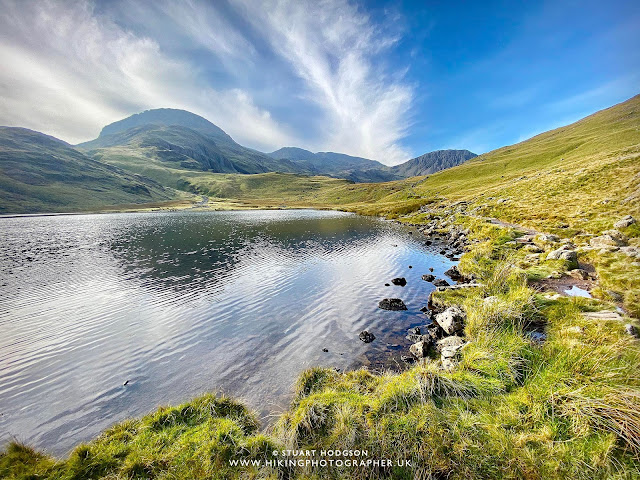 |
| Styhead Tarn looking serene and it’s a nice place to stop and refuel for the walking route ahead to Scafell Pike. |
SCAFELL PIKE WALK SECTION – CORRIDOR ROUTE TO SCAFELL PIKE SUMMIT:
 |
|
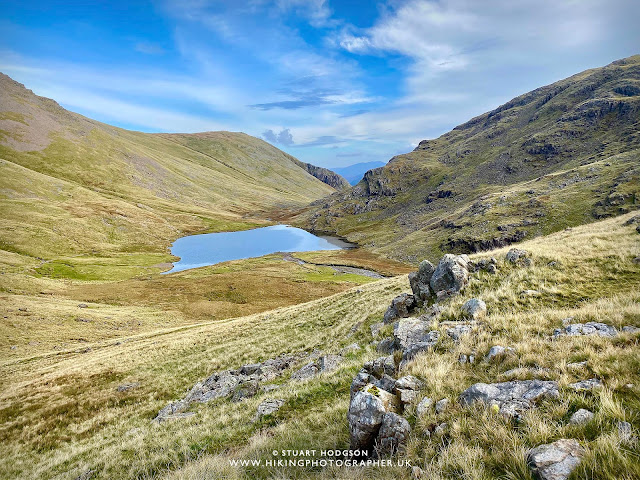
You soon gain height and get good views of Styhead Tarn
|
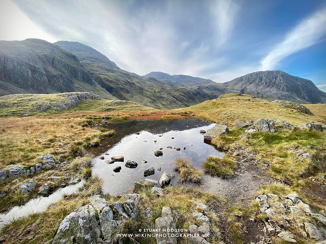 |
| Scaffel Pike in the distance and reflected in this pond |
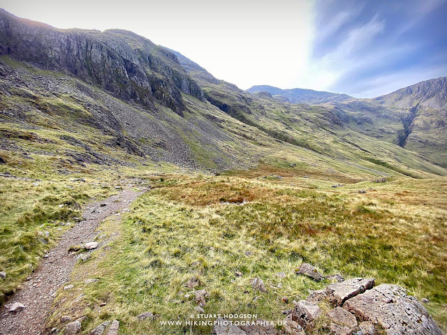 |
| Just about to begin the Corridor Route to Scafell Pike here |
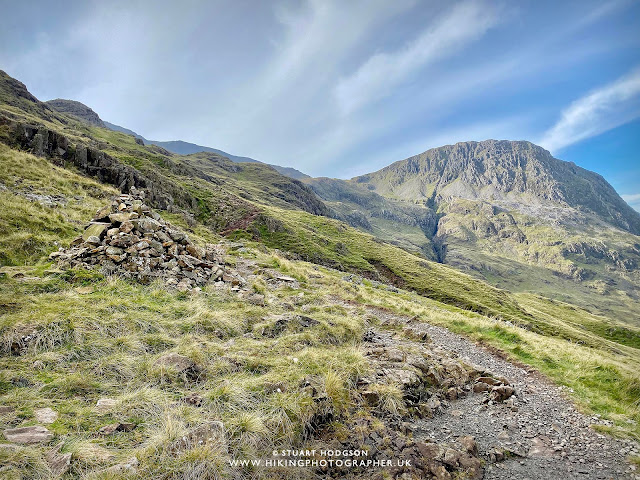 |
| Onwards and upwards on this walk – the ravine of Piers Gill straight ahead but we’ll be avoiding that today! |
 |
| You can just about make out the Corridor Route path going diagonal from left to right on this photo |
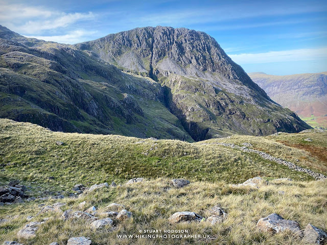 |
| Piers Gill looks quite foreboding here and Piers Gill is where most accidents happen up this way so it’s best avoided unless you are an experienced mountaineer. |
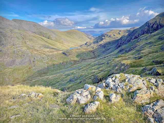 |
| Looking back to Styhead Tarn via the Corridor Route we have just walked. |
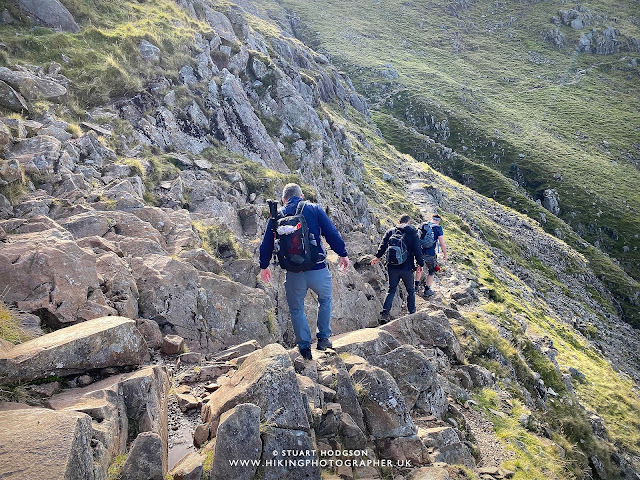 |
| This is probably the trickiest section of the path on this Scafell Pike walk and you’ll need to use your hands on a few occasions but it’s nothing too difficult. |
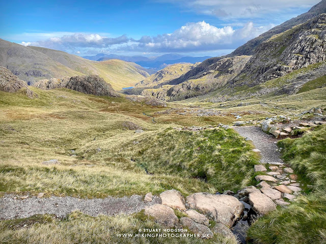 |
| Looking back again – with Derwent Water just coming into view in the distance above Styhead Tarn |
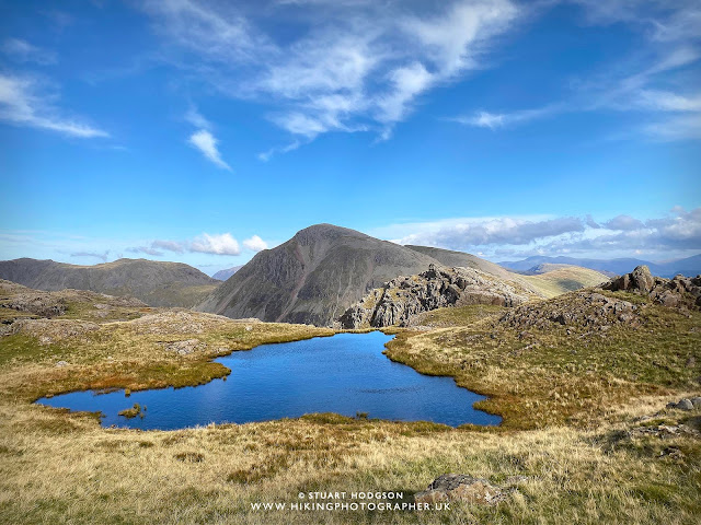 |
| You get excellent views of Great Gable up here – another excellent walk in itself if you haven’t done it before |
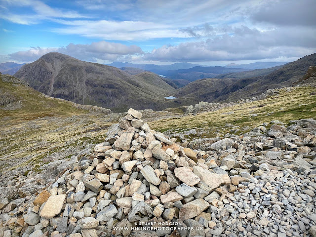 |
| The stunning Lake District views keep on coming! This is where we join the more popular path from Wasdale to walk to the top of Scafell Pike |
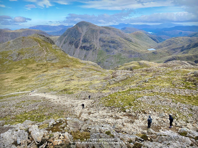 |
| A few people are trying to make the most of the clear views today and there are plenty more people about as we approach the summit of Scafell Pike |
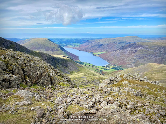 |
| We now get great views of Wastwater and the Wasdale area where many Scafell Pike walkers come from. In the far distance we could actually see the Isle of Man over the Irish Sea – stunning! |
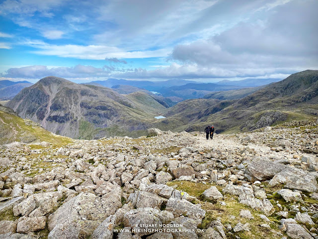 |
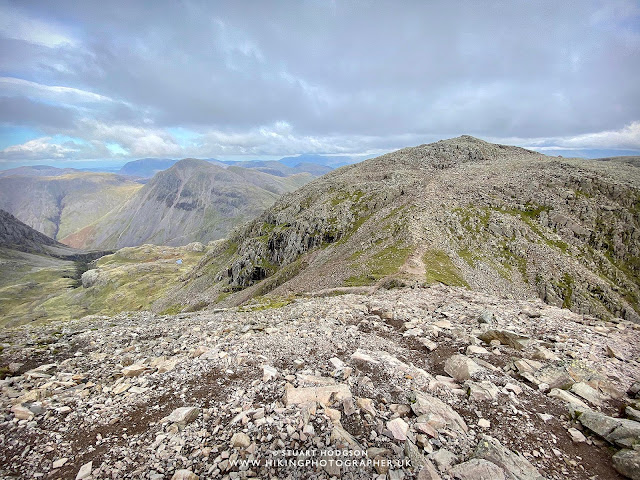
| We are nearly at the summit of Scafell Pike now and the views are incredible on this walk – yo are literally at the top of England |
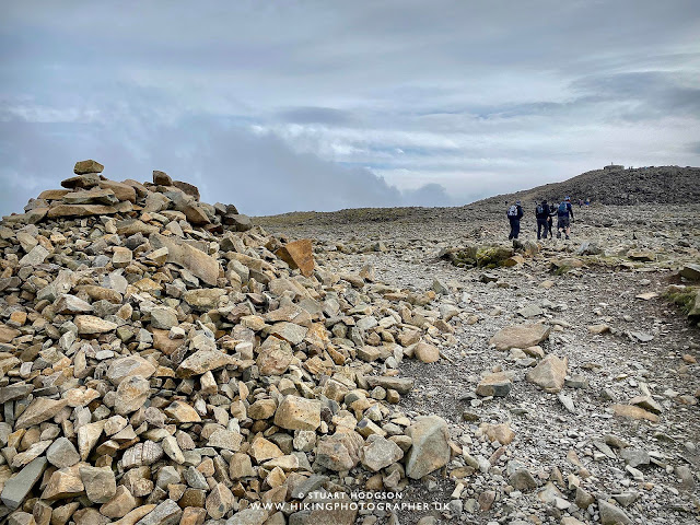 |
| Not far now – one final push and it’s much more windier at the summit! |
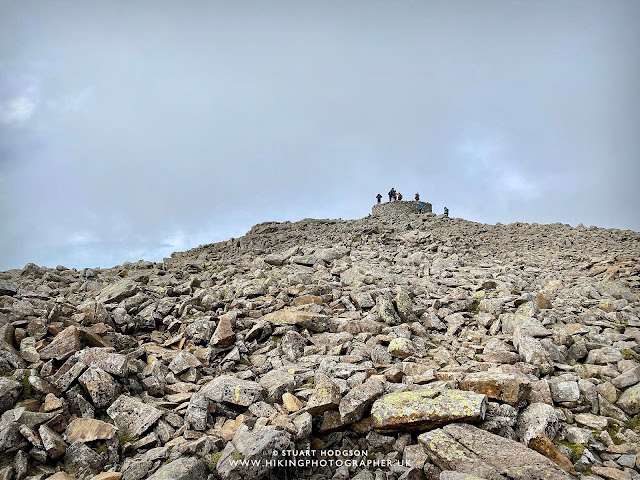 |
| This is what is at the top of Scafell Pike looks like and the highest point in England! |
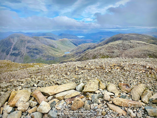 |
| Looking from the summit of Scafell Pike at 978m. Momentarily I’m the highest man standing in England 🙂 |
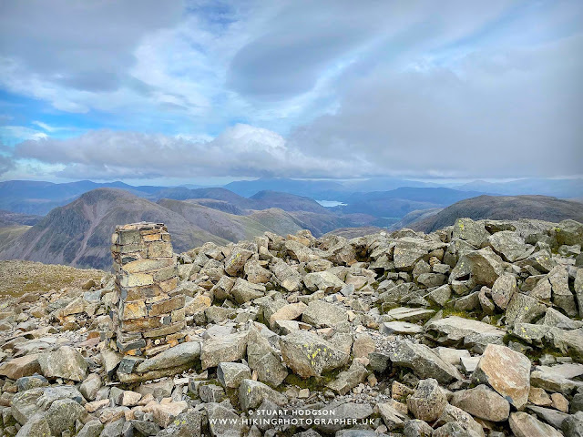 |
| From up here looking north-east you can make out the well-known Lake District mountains of Skiddaw and Helvellyn |
SCAFELL PIKE WALK SECTION – SCAFELL PIKE SUMMIT TO ESK HAUSE VIA BROAD CRAG:
|
|
| After a good 20 minutes eating some food and enjoying a flask of hot coffee sheltered in the wind it’s time to head back a different route towards Broad Crag, which entails going down a little bit and then back up! |
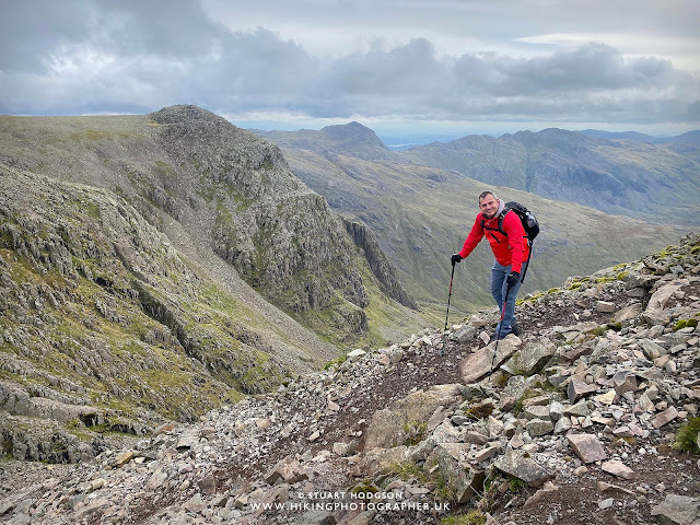 |
| The elderly veteran in our group using his sticks 🙂 |
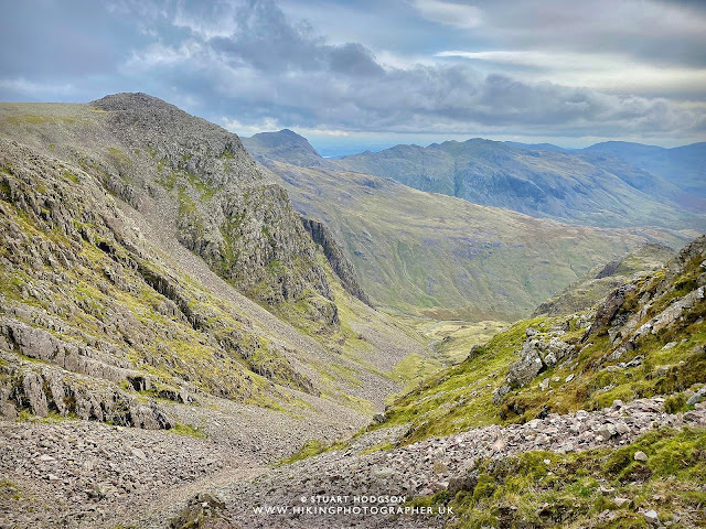 |
| You can just about see Windermere from this viewpoint |
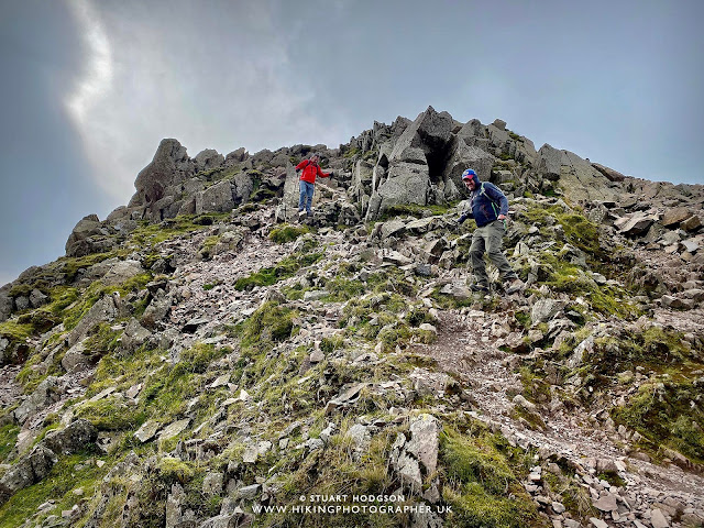 |
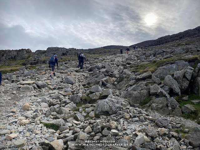
| It’s a bit steep this way and hard on the old knees but worth it |
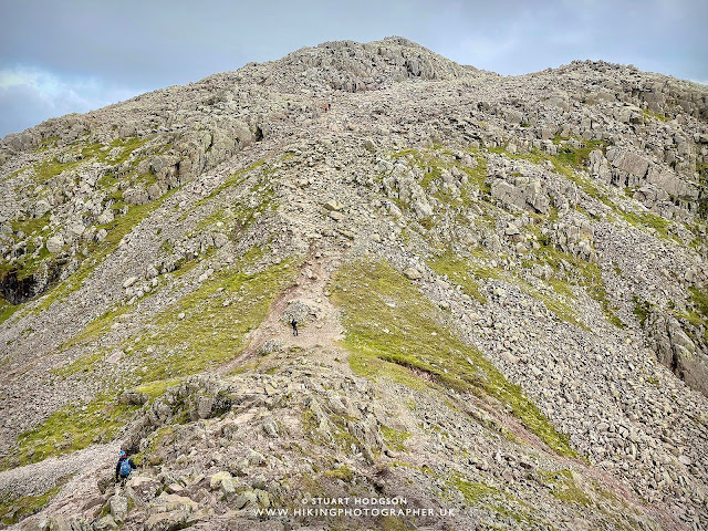 |
| After descending Scafell Pike for 15 mins or so we are faced with the final bit of uphil on this walk |
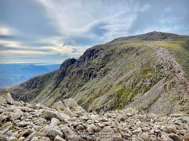 |
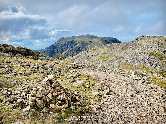
| Looking back towards the summit of Scafell Pike and the path we have just walked down |
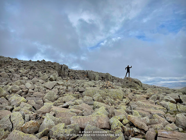 |
| Russ entertaining himself while we all catch up |
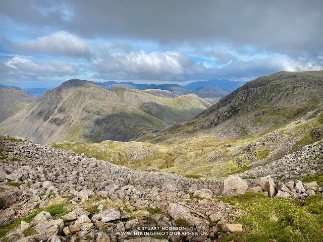 |
| A little glimpse of Styhead Tarn again but that’s the last we will see of it on this walk |
|
SCAFELL PIKE WALK SECTION – ESK HAUSE TO SEATHWAITE VIA GRAINS GILL:
|
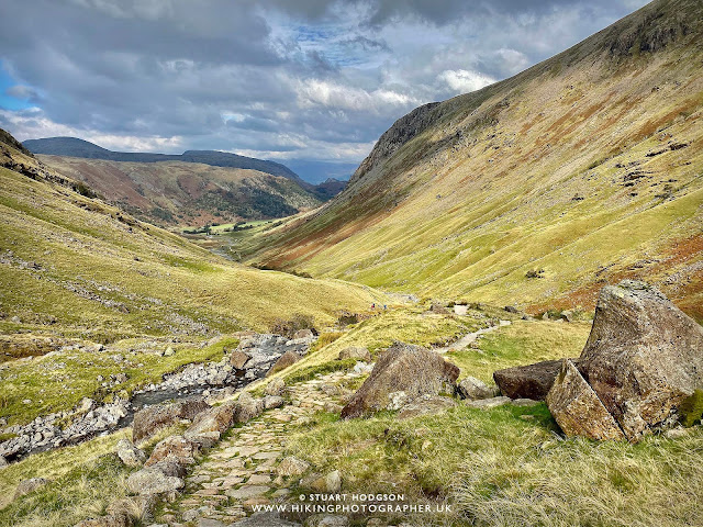
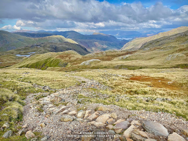
| From Esk Hause it’s all downhill now on this walk – thankfully! You can make out Derwent Water and Skiddaw in the far distance, with Sprinkling Tarn just to the left. |
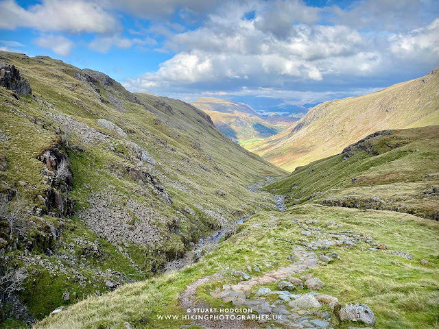 |
| We now follow Grains Gill all the way down – and I much prefer going down this way rather than up, so definitely recommend doing this Scafell Pike Walk in an anti-clockwise direction. |
 |
| As we approach the end of this Scafell Pike walk we can now see the car from here! Unfortunately we can’t see a pub from here 😉 |
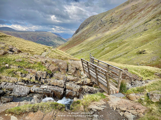 |
| We cross over Grains Gill for the 2nd last time on this superb Lake District walk and the going is much easier and flatter. |
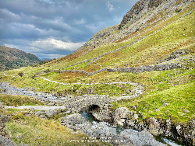 |
| And here we are again at Stockley Bridge where we started around 5.5 hours ago and we rejoin the path we started on for the last bit of this superb walk |
SCAFELL PIKE – ONE OF THE BEST LAKE DISTRICT WALKS
I hope this write up has given you a good introduction to what is in my humble opinion the best Scafell Pike walking route and it helps you to plan your own walk via the awesome Scafell Pike Corridor Route. Every serious hiker needs to tick this walk off their list and do it at least once.
Scafell Pike via the Corridor Route from Seathwaite is quite a long route at 8.4 miles and at times can be hard to follow the map as a lot of path’s intercross each other. So just make sure you are very familiar with the route. You hear countless stories of people taking one wrong turn and ending up in a different valley miles from where they need to be! So be prepared and take a map.
I’ve found Phone Map Apps are really useful for downloading routes to your phone and then being able to see exactly where you are on the map route without any signal. I’ve been really impressed by the OS Maps app and for a long walk such as this, you can download the route shown at the top of the page to your phone – it is well worth the subscription and will keep you right on track and stop you getting lost. Learn more below:
OS Maps - my Recommended App
I've tried a few map apps on my phone and settled on OS Maps, to access detailed UK Mapping. You can plan, save and download mapo routes, such as those on this site, direct to your phone, and then see where you are exactly on any route even when you have no signal - so you can't get lost! It's helped me discover loads of new walking routes too and you can get a free 2 week trial via the button below.
VIDEO INTRODUCTION TO THE CORRIDOR ROUTE
Before you go, the YouTube vid below is a good watch and will give you another insight into the Corridor Route up Scafell Pike.
HISTORY OF SCAFELL PIKE
The name “Scafell Pike” comes from Old Norse origins, with “Pike” meaning a pointed mountain, reflecting its dramatic and craggy summit.
The history of Scafell Pike dates back thousands of years, with evidence suggesting that early humans inhabited the surrounding valleys during the Neolithic period. The area was later settled by Norse invaders, who left their mark on the landscape through place names and farming practices. During the 19th century, the Lake District became a hub for climbers and adventurers, with poets like William Wordsworth and writers such as Alfred Wainwright celebrating the beauty of Scafell Pike and the surrounding fells.
A significant moment in the history of Scafell Pike came in 1919 when the mountain was donated to the National Trust by Lord Leconfield in memory of the men who fought in World War I. This act made Scafell Pike England’s highest war memorial, and to this day, the summit serves as a place of remembrance. The mountain’s ownership by the National Trust ensures its conservation, as the high volume of visitors contributes to erosion, requiring ongoing maintenance of footpaths and trails.
Today, Scafell Pike is a key part of the National Three Peaks Challenge, alongside Snowdon in Wales and Ben Nevis in Scotland. Thousands of hikers take on the climb each year, drawn by the challenge and the stunning scenery. The unpredictable weather and rocky terrain make it a demanding ascent, but reaching the summit is a rewarding experience. As one of the most iconic mountains in the UK, Scafell Pike continues to be a symbol of adventure, history, and natural beauty.
GEOLOGY OF SCAFELL PIKE – VOLCANIC ROCK DATING BACK 450 million years
Scafell Pike is a mountain with a rich geological history that dates back nearly 450 million years. It is primarily composed of Borrowdale Volcanic Group rocks, which formed during the Ordovician period when violent volcanic eruptions shaped the landscape. The intense volcanic activity deposited layers of hardened lava and ash, creating the tough, erosion-resistant rock that defines Scafell Pike today. These ancient formations give the mountain its rugged, craggy appearance, making it one of the most dramatic peaks in the Lake District.
Over millions of years, geological forces such as plate tectonics, erosion, and glaciation have shaped the landscape of Scafell Pike. During the last Ice Age, which ended around 12,000 years ago, massive glaciers carved deep valleys and exposed the hard volcanic rock beneath. As the glaciers retreated, they left behind distinctive landforms such as U-shaped valleys, sharp ridges, and scattered boulders. This glacial activity is responsible for the steep slopes and rocky terrain that challenge hikers today.
One of the defining geological features of Scafell Pike is its composition of andesite and rhyolite, two types of volcanic rock that vary in hardness and erosion resistance. This variation has led to the formation of sheer cliffs, rugged outcrops, and loose scree slopes, particularly on the upper sections of the mountain. The summit itself is covered in a vast boulder field, created by repeated freeze-thaw weathering over thousands of years. These conditions make Scafell Pike a unique and challenging environment for climbers and geologists alike.
The geology of Scafell Pike not only shapes its physical appearance but also influences the ecosystems that thrive there. The rocky terrain, poor soil quality, and extreme weather conditions limit plant life, resulting in hardy vegetation such as mosses, lichens, and alpine grasses. Understanding the geological history of Scafell Pike enhances the appreciation of its dramatic landscape, reminding visitors that the mountain has been sculpted by natural forces over hundreds of millions of years.
So when you complete your Scafell Pike walk – just remember you are walking on ancient Volcanoes that are 450 million years old, shaped by glaciers 12,000 years ago.
I don't have those annoying ads on my website to keep it user friendly (so don't get any ad income) If you've found this site useful and want to give a token of appreciation - you can make a small donation via 'buy me a coffee' to fuel more blogging and help towards website running costs (which I pay out my own pocket as it's just a hobby). Cheers! Stu






Thanks for the guide, we did it today and loved it. We also believe this is the best route so many thanks.
That’s great to know it helped Ross – Scafell Pike much better this way – hope you got the weather/views – cheers