The best Cat bells short circular walking route IN THE LAKE DISTRICT
This is my favourite short circular walking route of Catbells because of the amazing views of Derwent Water on the entire walk, even on the descent and way back. Catbells is a popular Lake District walk and it’s easy to see why, as it is quite short, quick to do, has great views and even has a little bit of a fun and challenging scramble up a couple of rock faces. It’s great for adults and kids alike.
Cat bells walk route overview:
WALK OVERVIEW:
DISTANCE: 3.8 miles
TIME: 1.5-2 hours
TOTAL ASCENT: 1476ft
DIFFICULTY: MODERATE

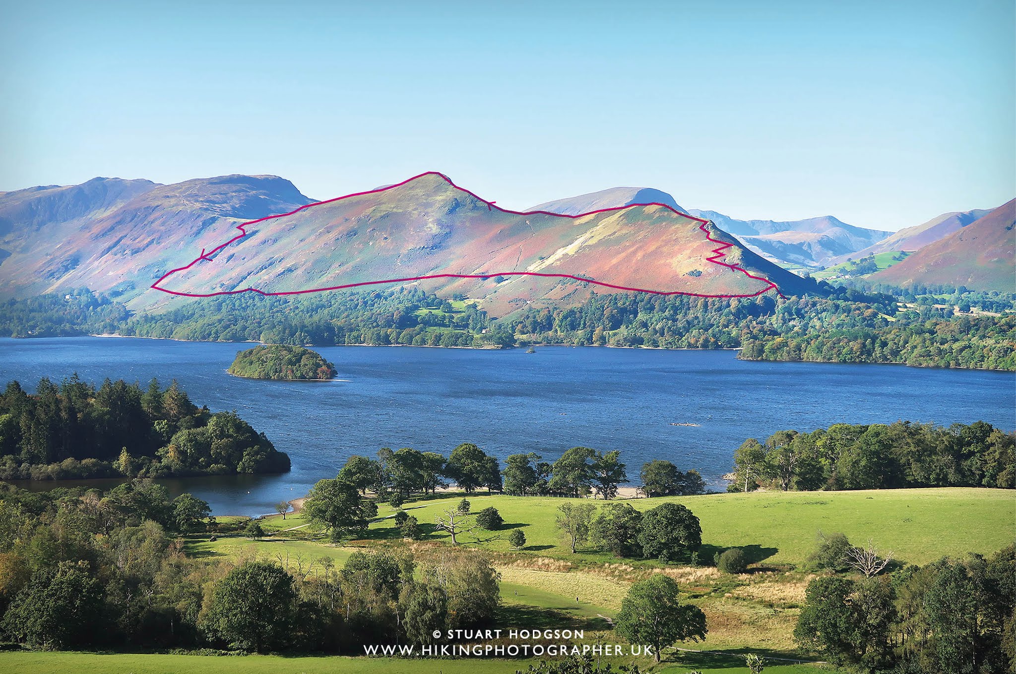
| On this photo I have illustrated on a photo of Catbells from a distance, the circular route you will take on this walk so you can get a feel for the kind of terrain you will be walking. The walk basically starts on the right of this photo and up the steep-ish Skelgil Bank first then it goes left (south) towards the Catbells summit and back down the opposite, gentler end. I fully recommend doing the walk this way as its more fun, and less strain on the knee’s! going up Skelgil bank rather than coming down it. |
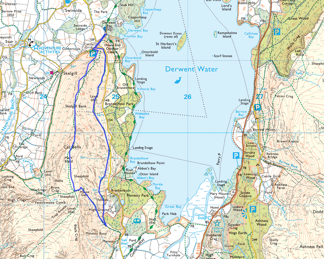
Cat bells walk route map:
Photos of what to expect on thIS Catbells walk:
 |
|
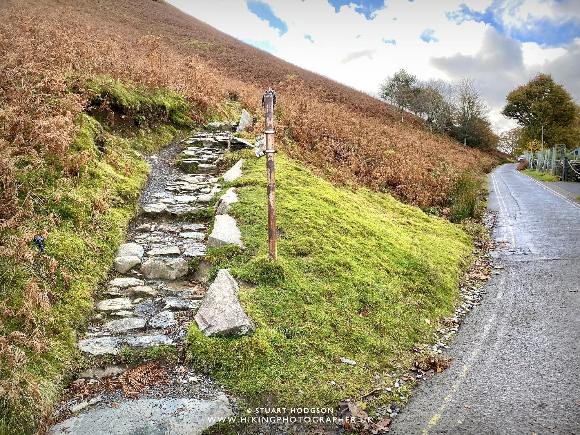
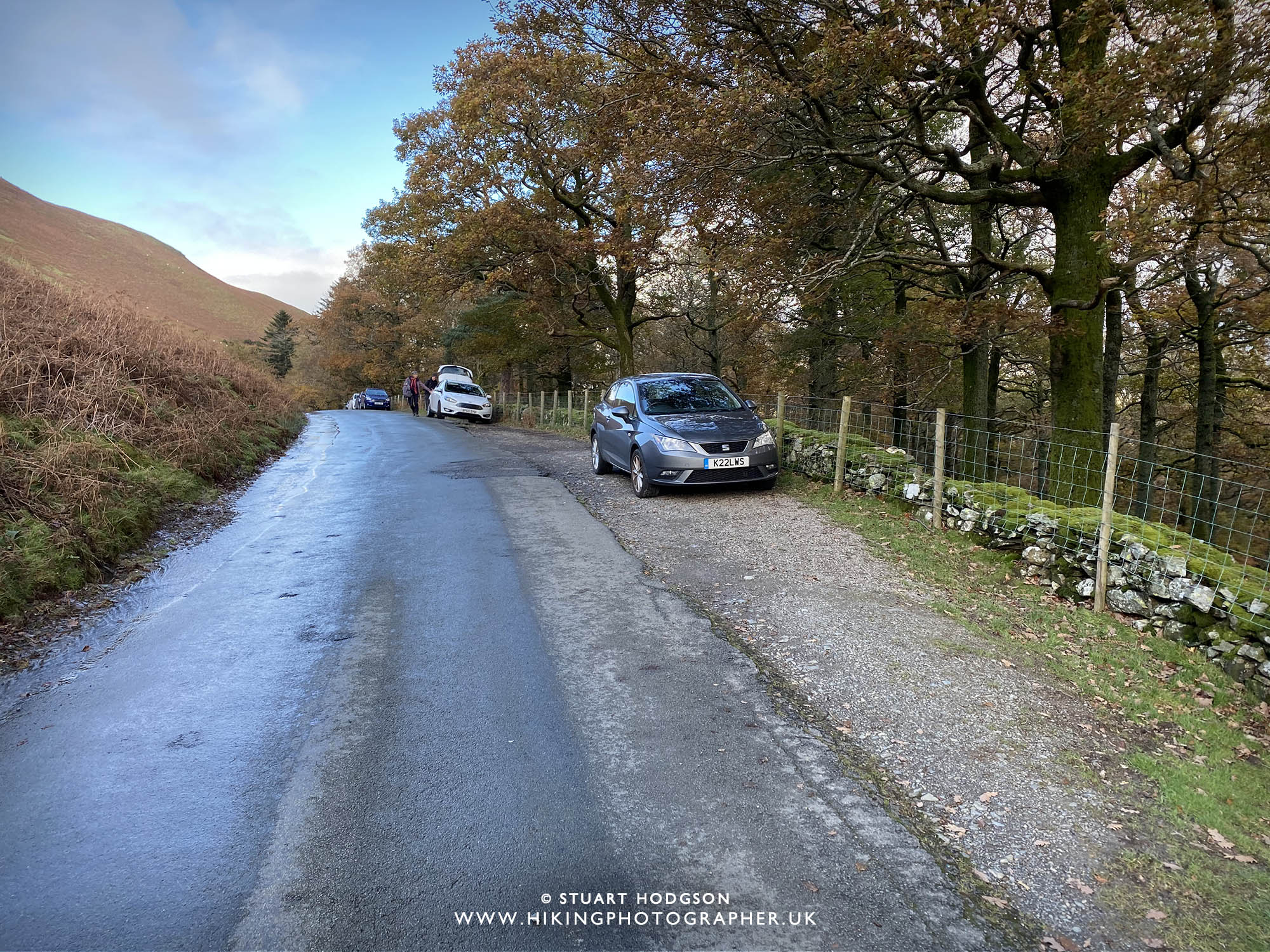
This walk starts right at the foot of Sklegil Bank just off the road. If your heading here by car – try and park as close to this point as possible. There aren’t many car park spaces though, so be sure to see my note on car parking at the bottom of this blog post.
|
 |
|
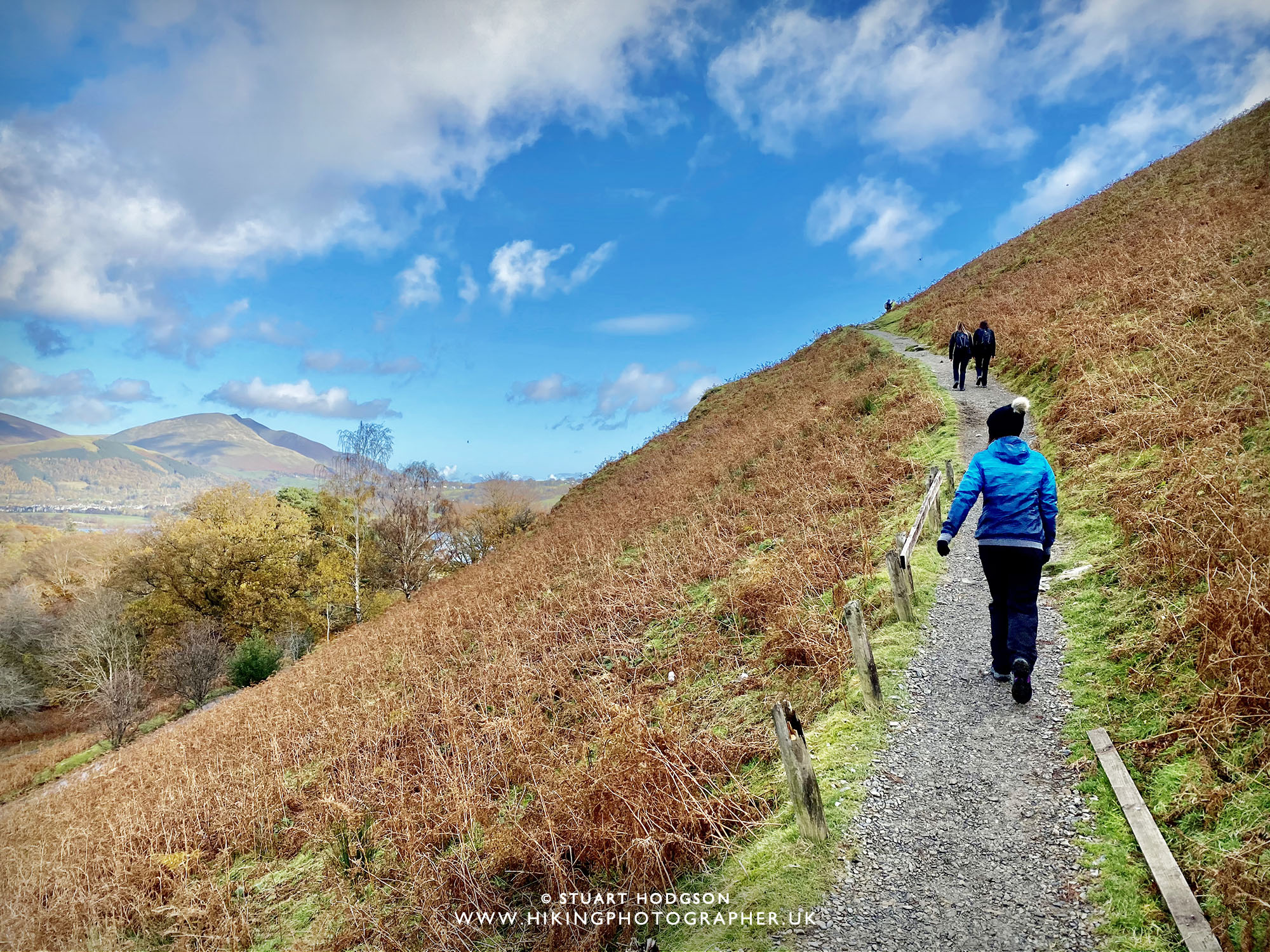
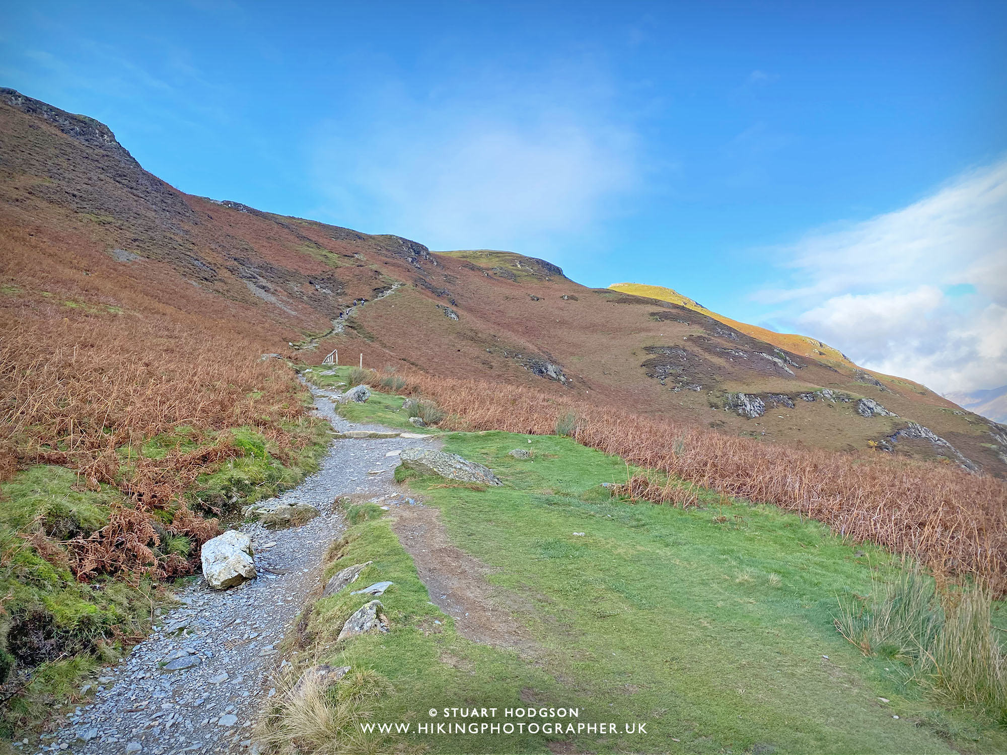
The walks begins with a nice gentle uphill – always a plus!
|
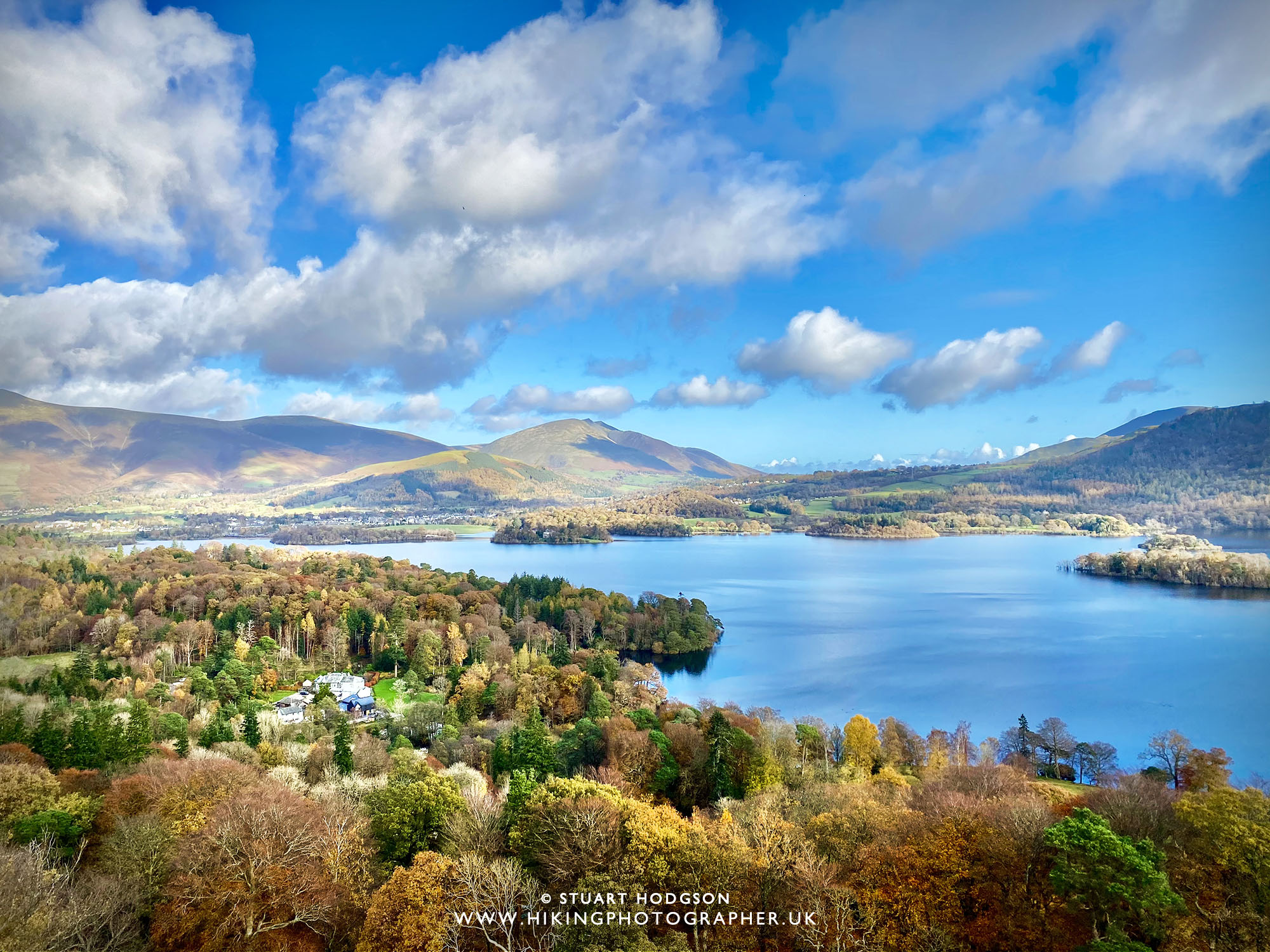 |
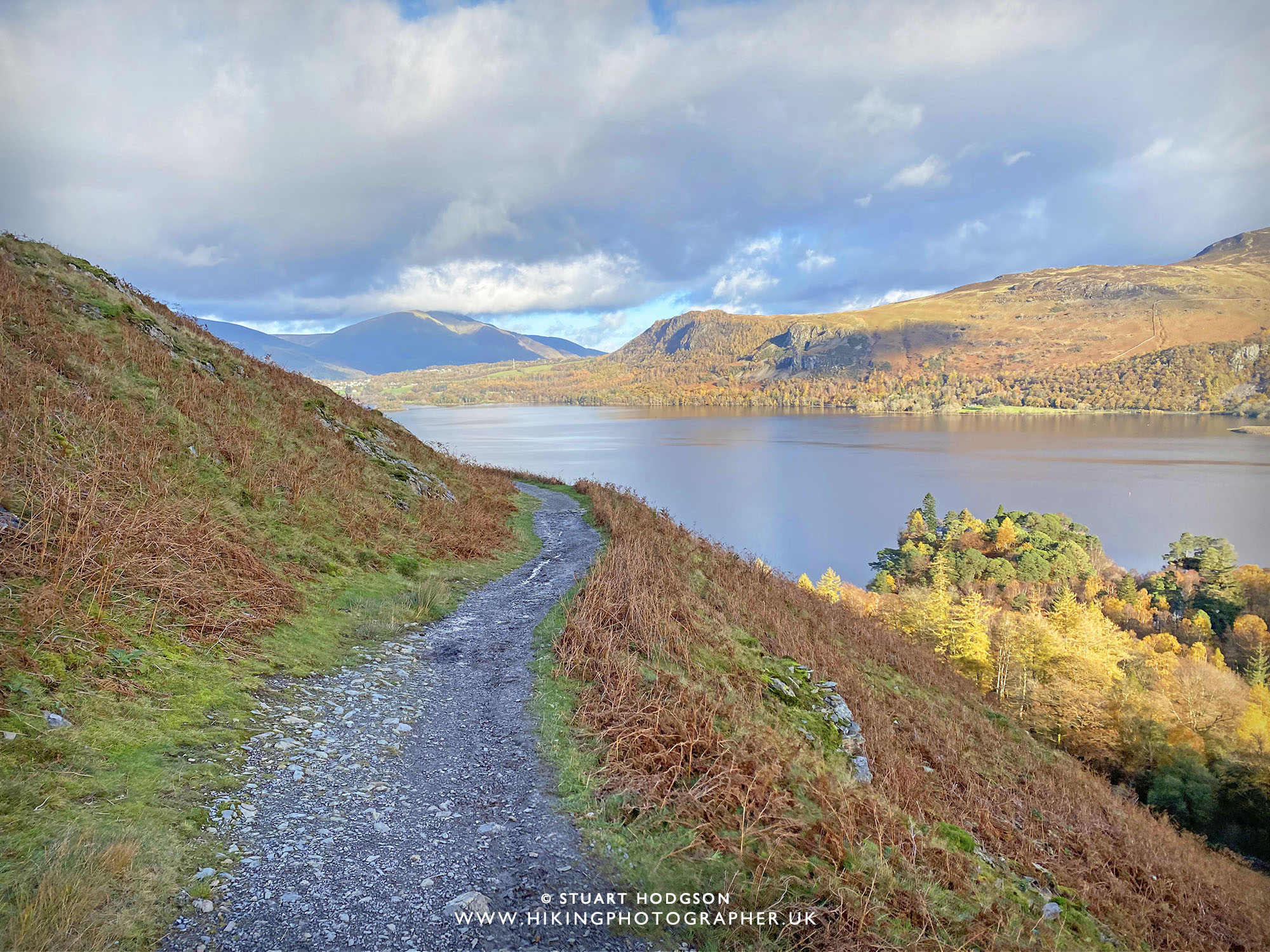
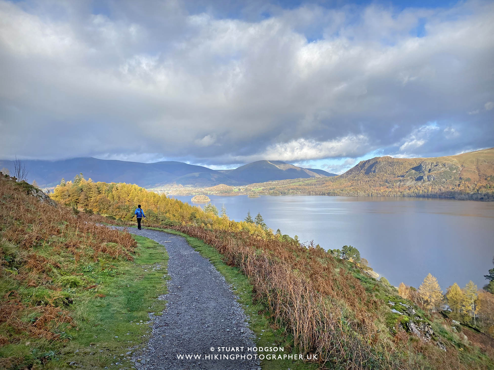
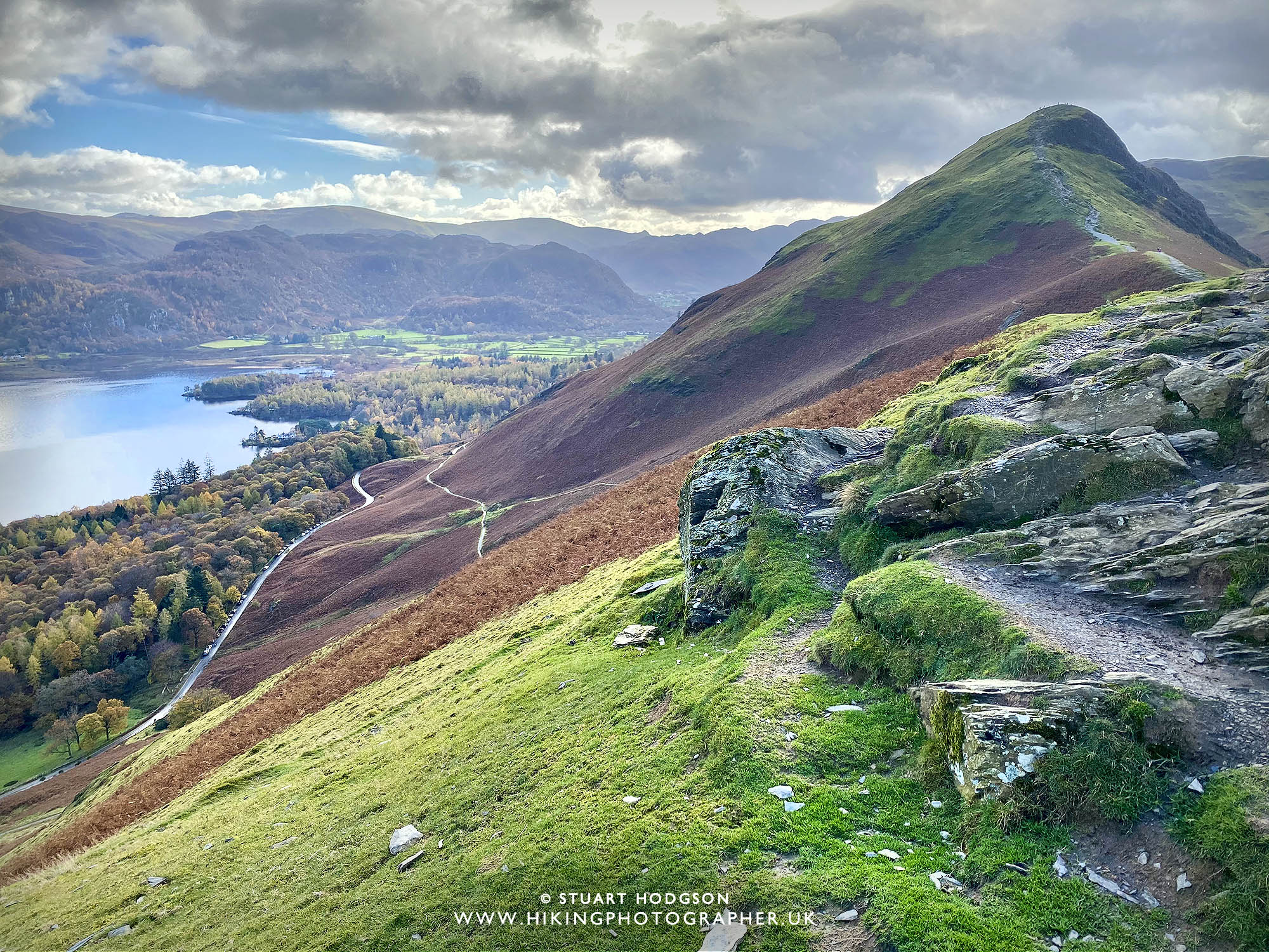
| It doesn’t take much to gain some height and the stunning Derwent Water soon comes into view |
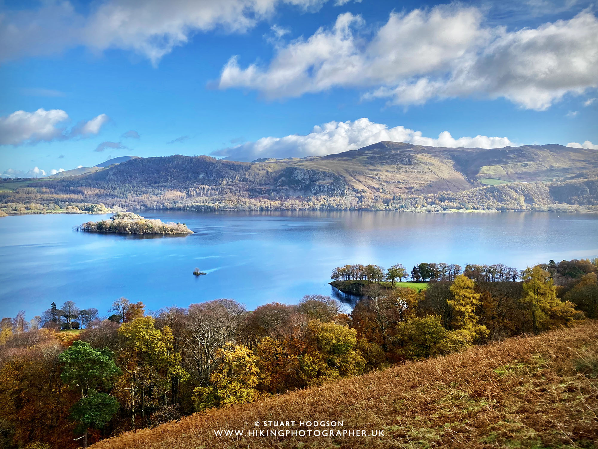 |
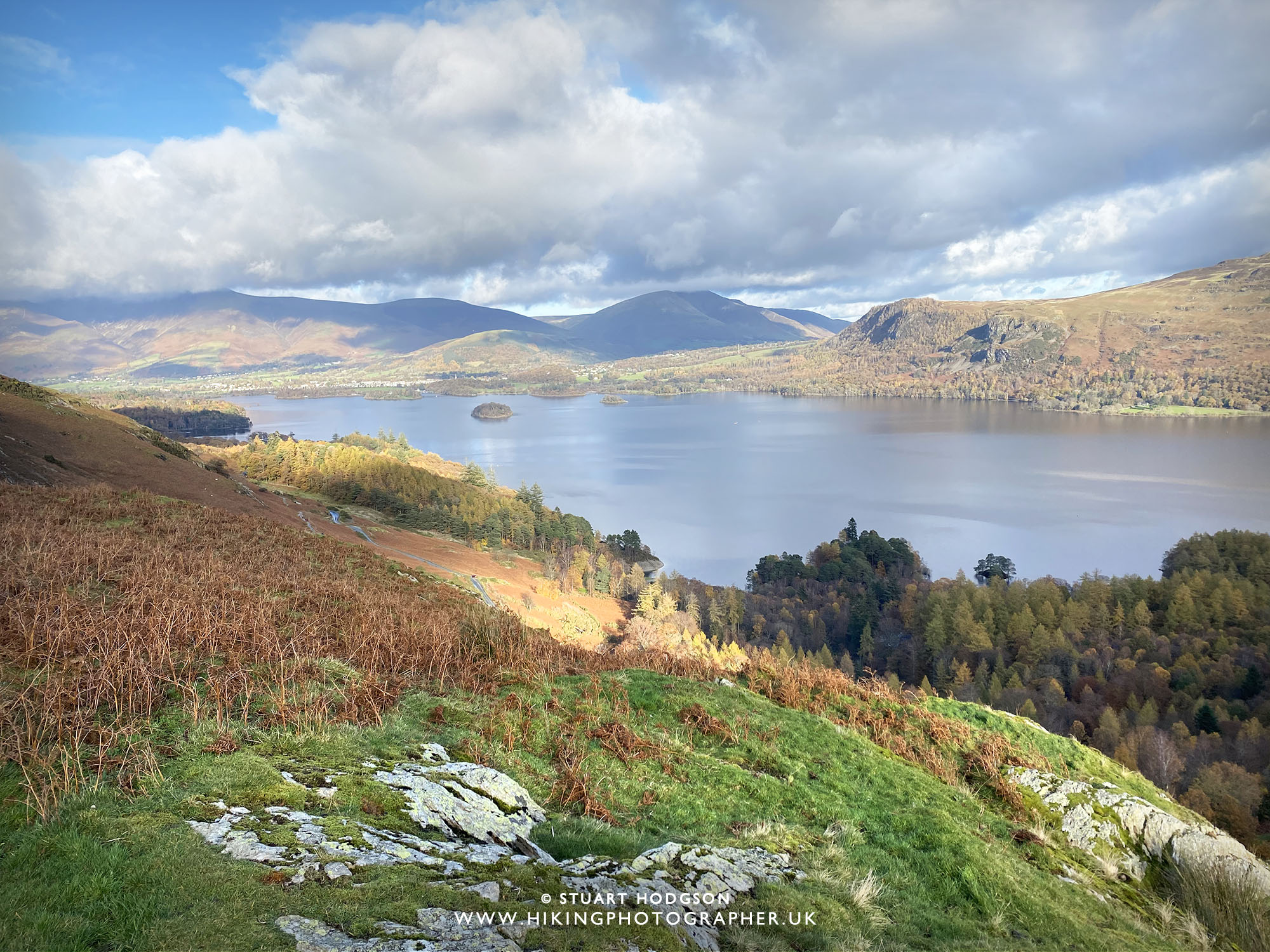
| On this sunny, clear autumn day the views are impressive over Derwent Water towards Walla Crag & Ashness Bridge. (I have another blog post on a walk over the other side of Derwent Water here if your interested www.hikingphotographer.uk/2016/08/walk-from-keswick-castlehead-walla-crag-ashness-bridge) |
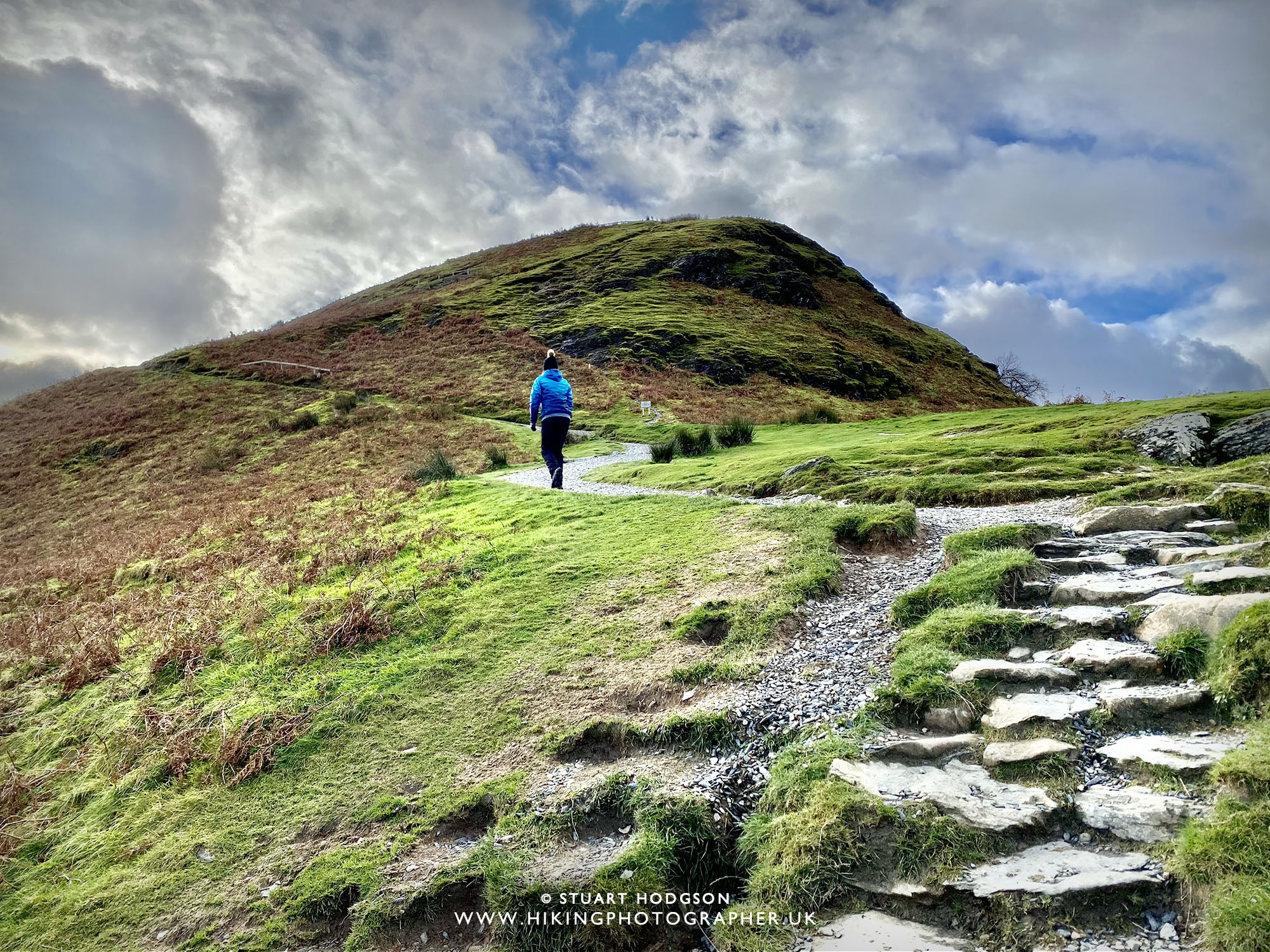 |
| The initial path winds it’s way up Skelgil Bank, changing between stone steps and gravel path. |
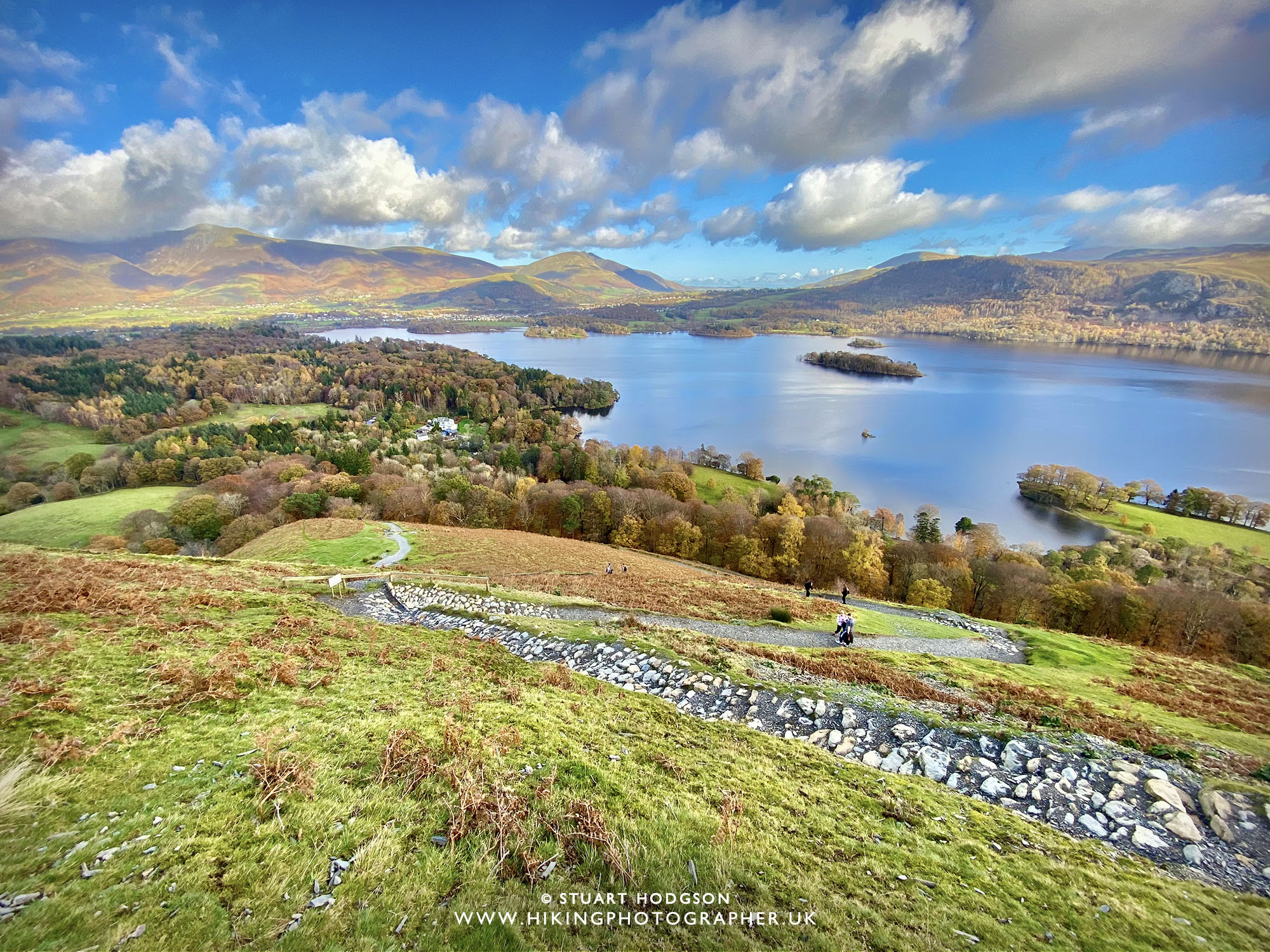 |
| Looking back down over the winding path we’ve just walked. |
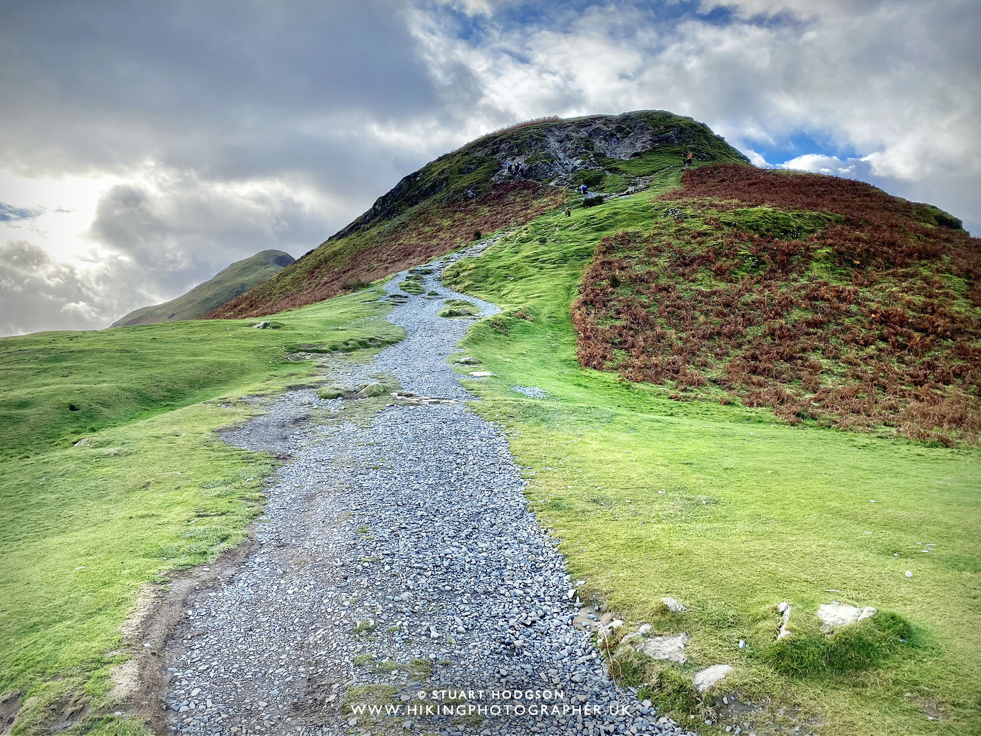 |
| Approaching the first little scramble |
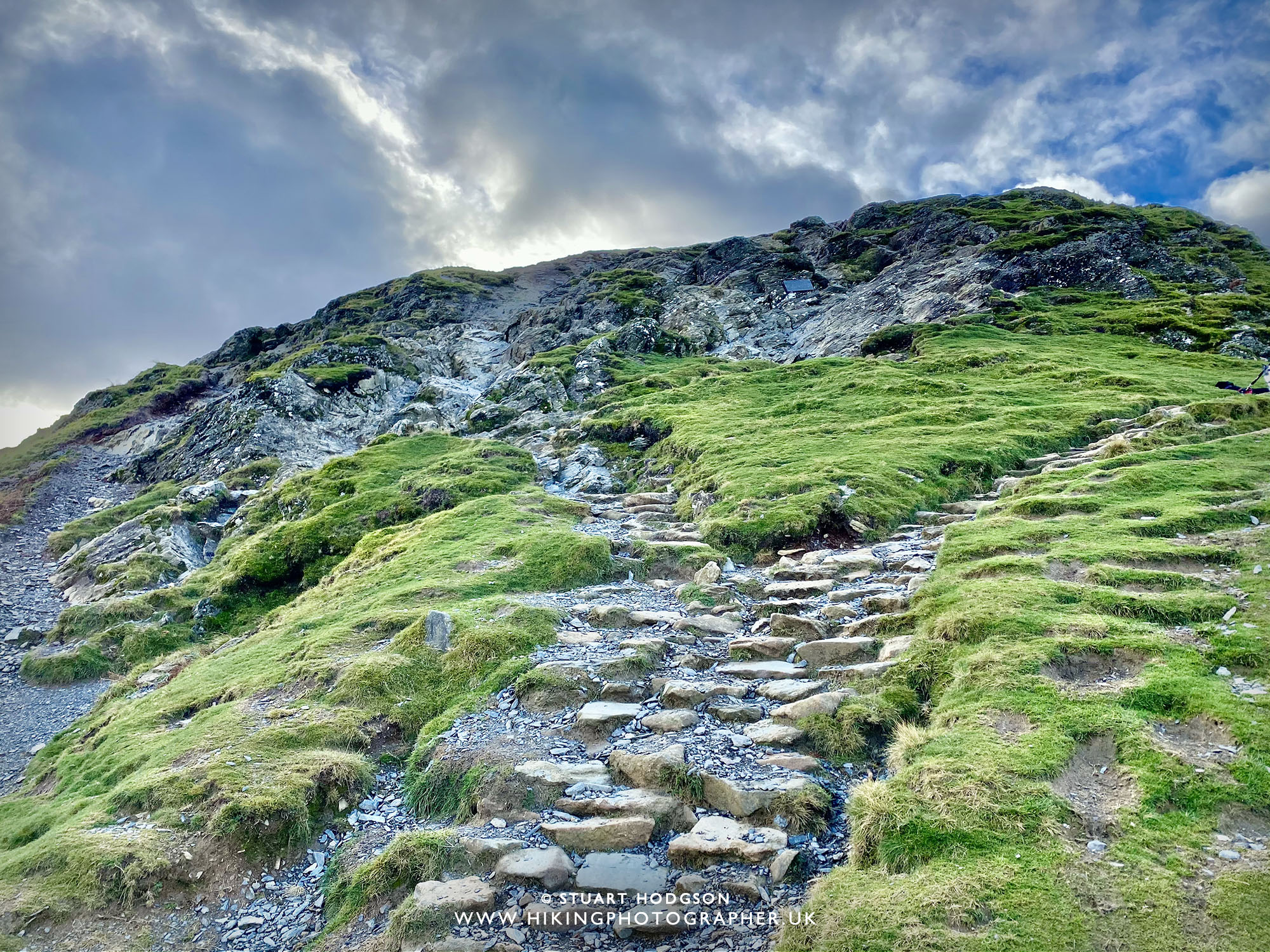 |
| Here you can see the first scramble up the rock face. It’s nothing too tricky – but may be a bit slippy in the wet. |
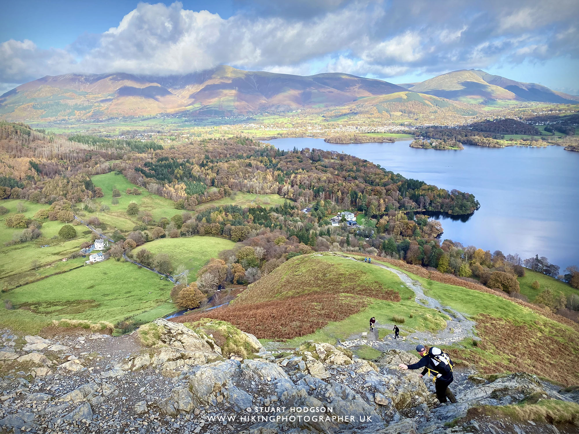 |
| You may have to use your hands for the first scramble. This is why I recommend doing this circular walk to the Catbells summit from the northern, steeper-end via Skelgil bank, as its easier gong up the steep rock than coming down it! It’s all perfectly safe in dry conditions and make the walk a little bit more fun and varied (if you are not very mobile, a complete novice or a bit scared of heights you might find it a bit of a challenge though!) |
 |
|
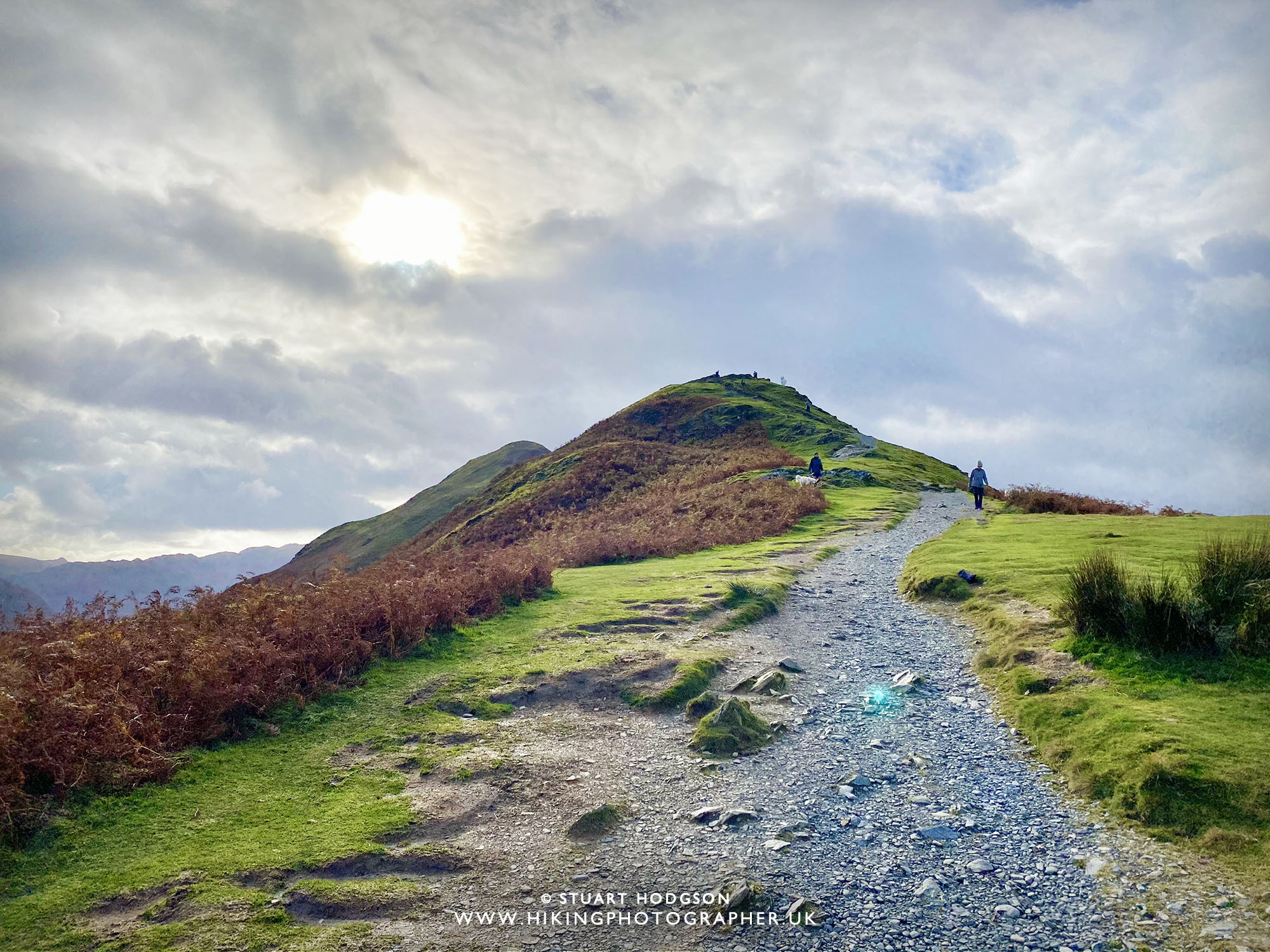
Onwards and upwards, Catbells is just in shot in the far distance behind this little peak
|
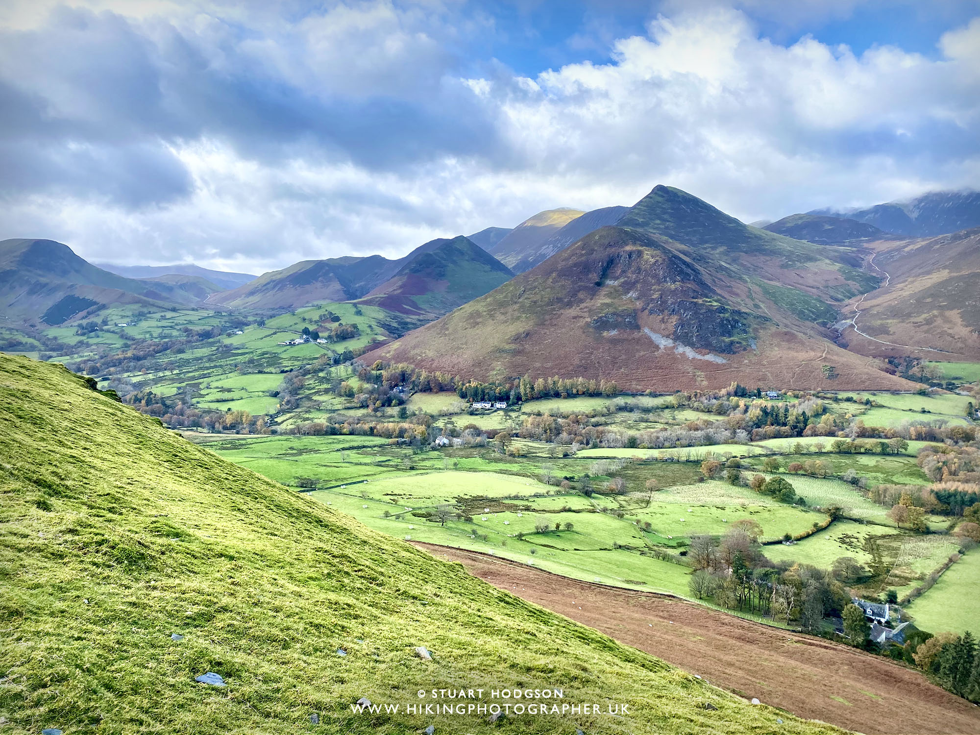 |
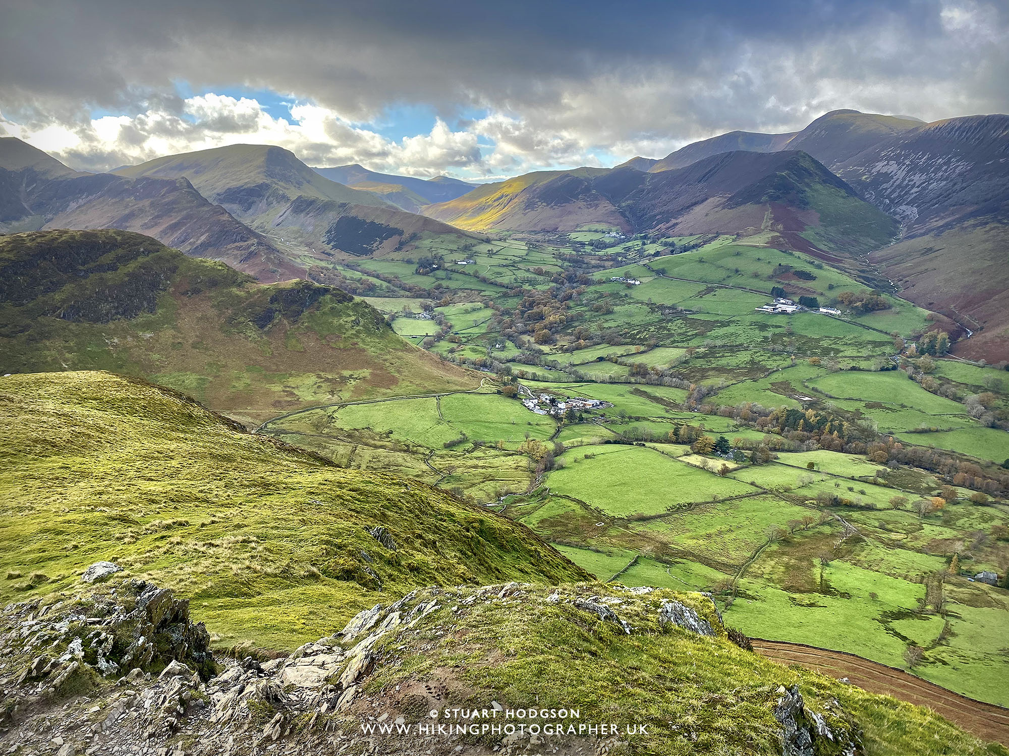
| The view over Newlands Valley is pretty impressive with lot’s of other fells that are good walks too. |
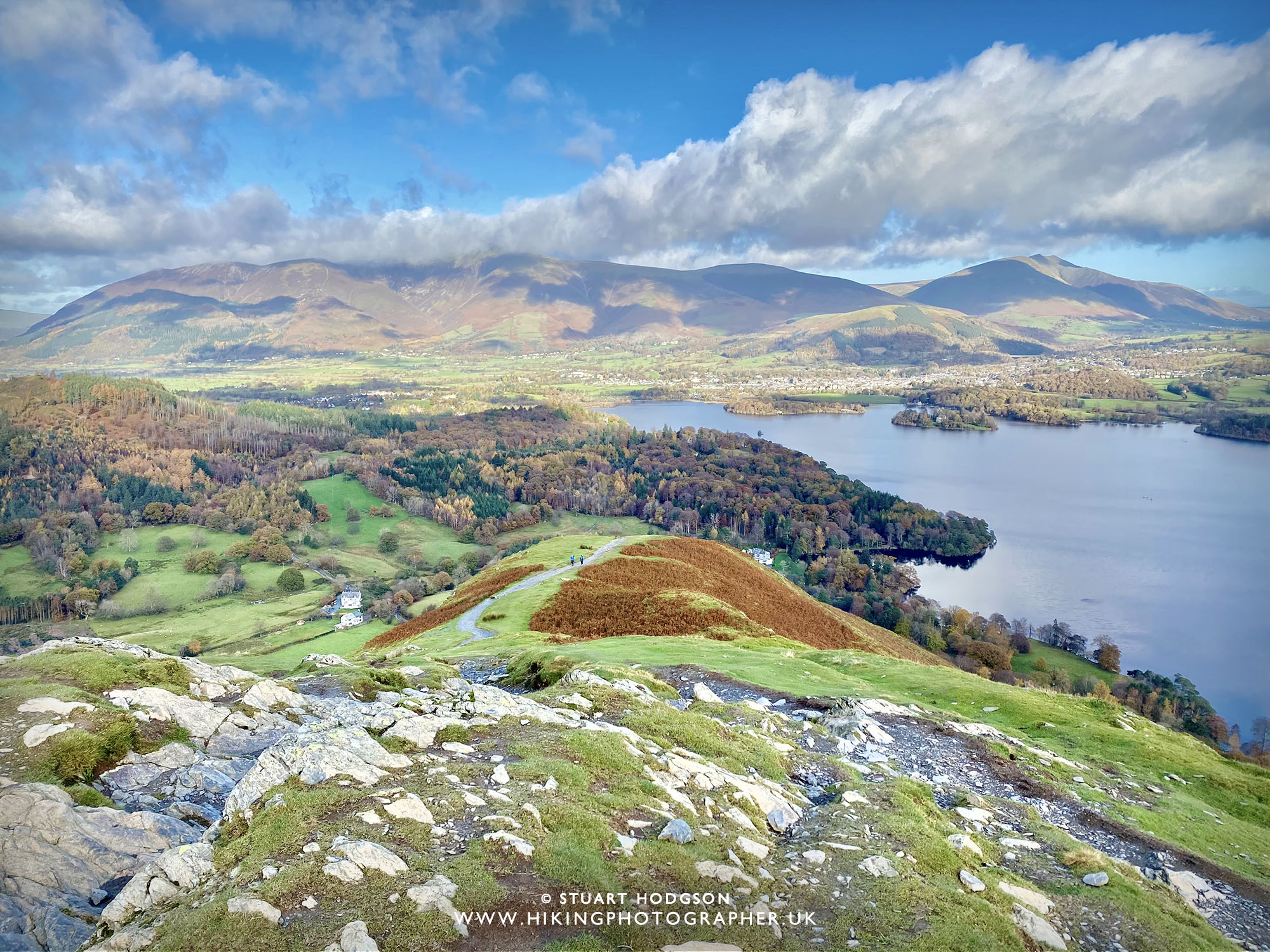 |
| The views are great all the way on this walk and here you can see the mountain of Skiddaw covered in cloud and Blencathra in the distance to the right |
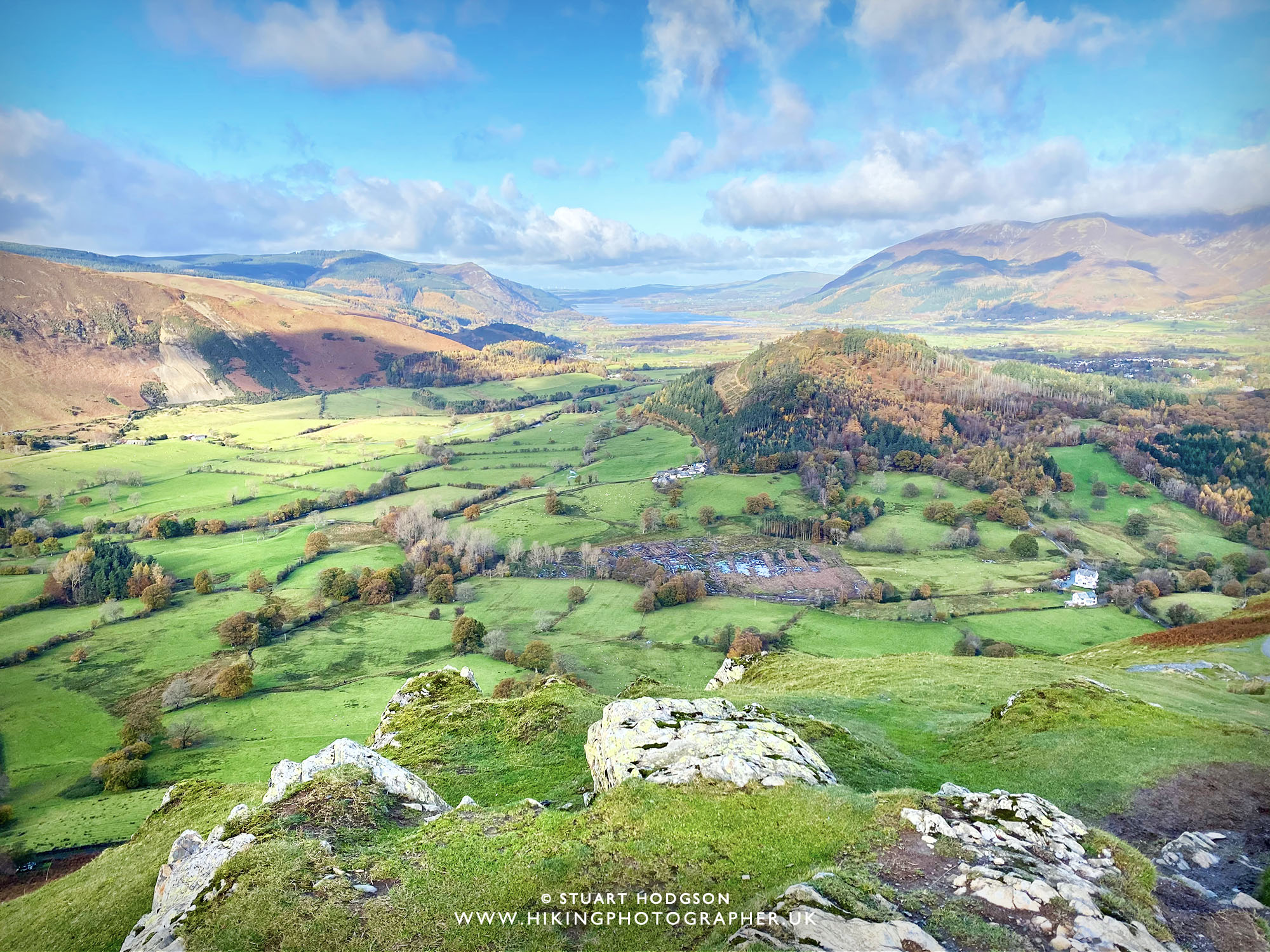 |
| Shidting our gaze slightly left (north-west) and looking over towards Bassenthwaite Lake in the distance. |
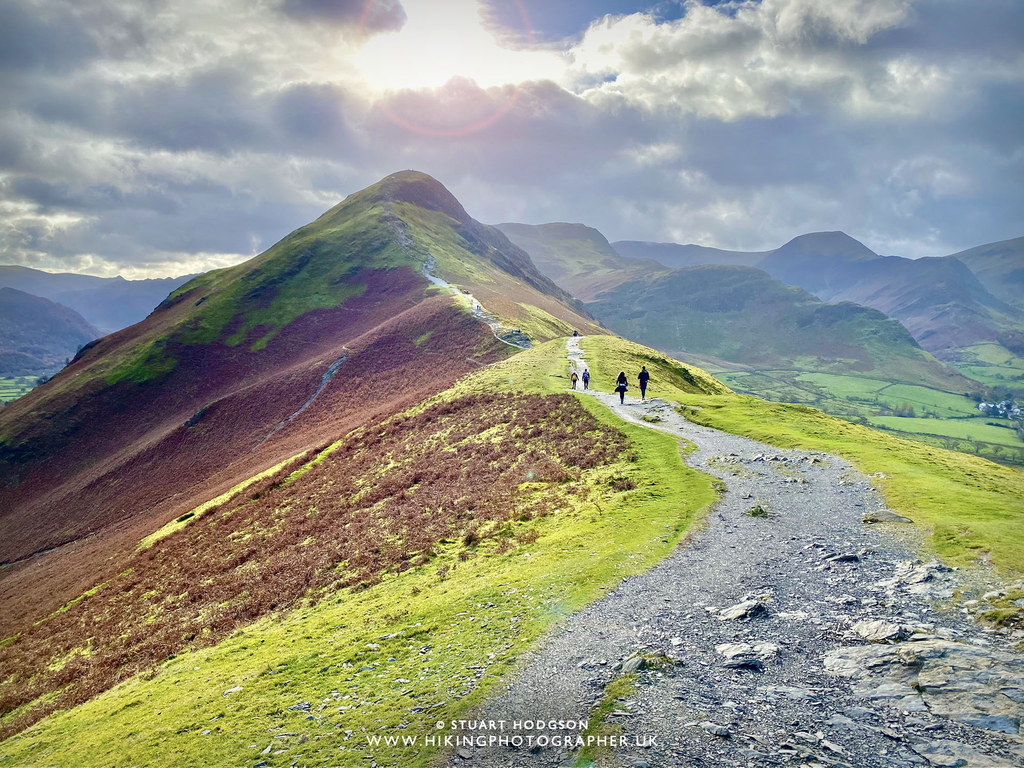 |
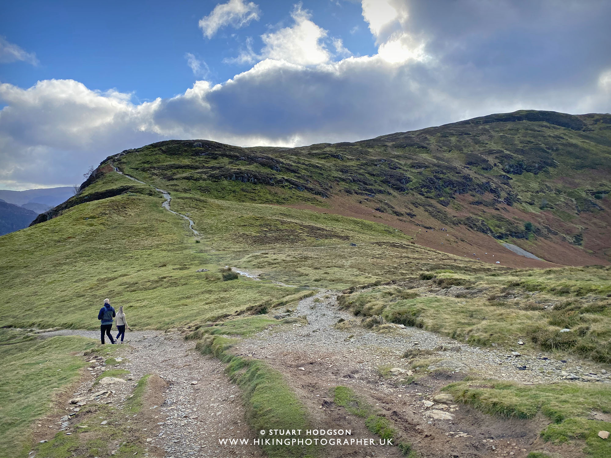
| We’re not far from Catbells summit now and the walk is flat for a bit |
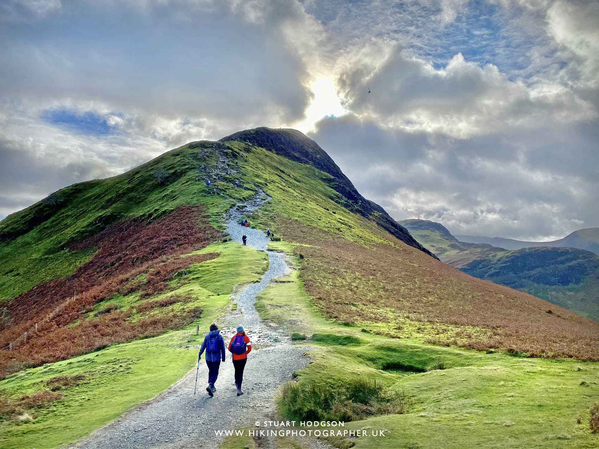 |
| Approaching the 2nd steep section where again you may have to use your hands a little bit |
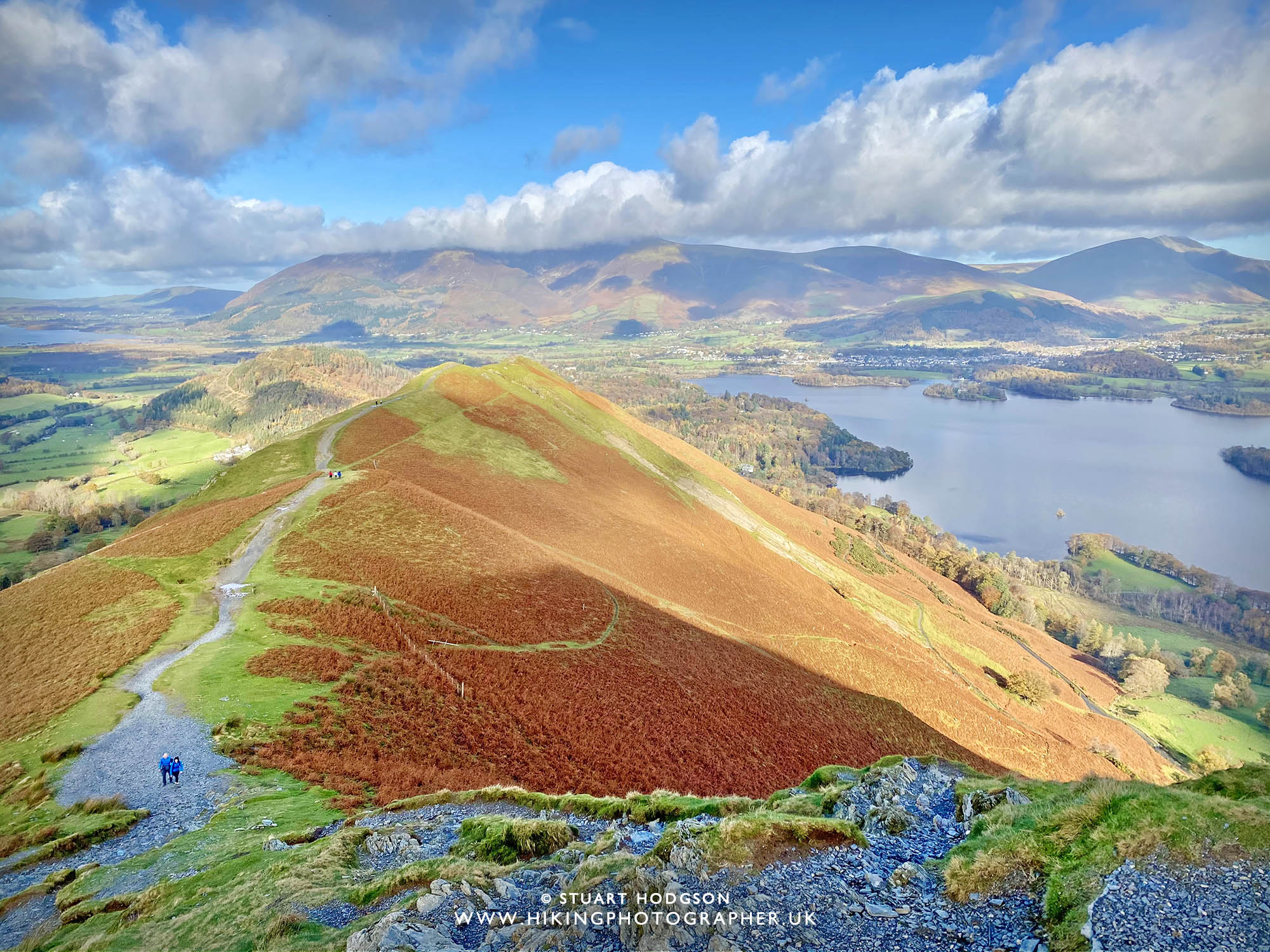 |
| Admiring the view (taking a rest 😉 |
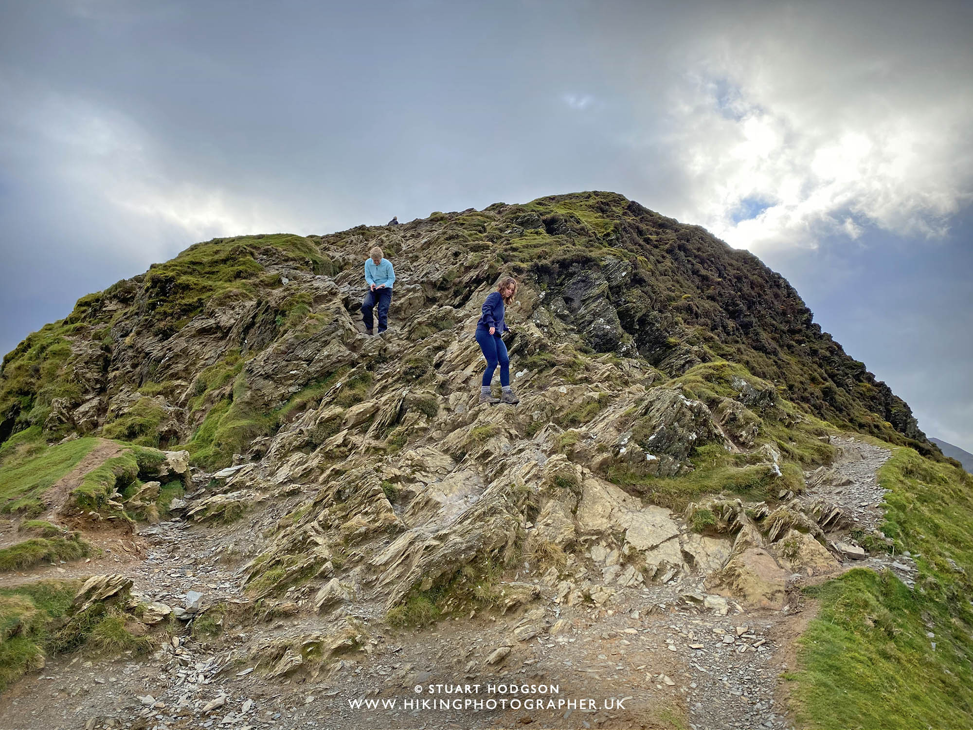 |
| This section can be a little tricky – and you just find the best way up yourself across the rock. For those with a fear of heights you may feel a bit exposed here. It’s perfectly safe though if you just take your time and watch your footing. Like I said it’s easier going up this way than back down and in the wet it can be slippy. |
CAT BELLS LAKE DISTRICT SUMMIT VIEW:
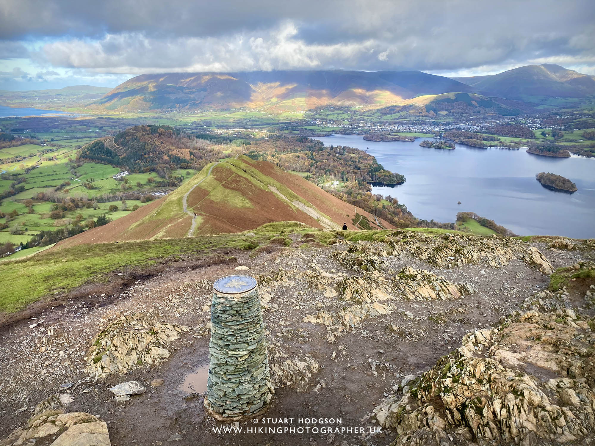 |
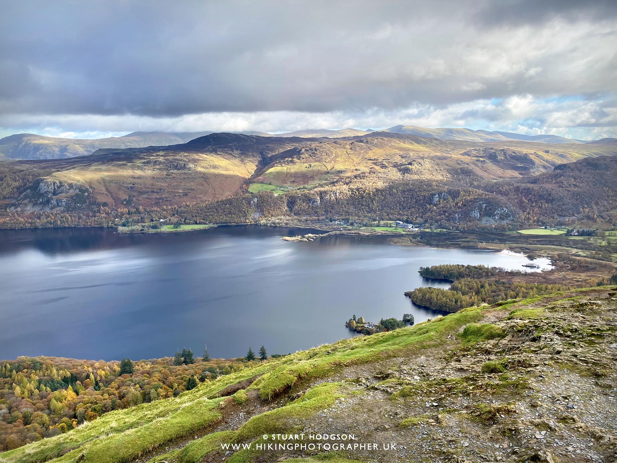
| And we arrive at the Catbells summit! We’re looking north here backwards where we have walked and get stunning views of Derwent Water, the town of Keswick off to the right and the mountains of Skiddaw & Blencathra in the distance. |
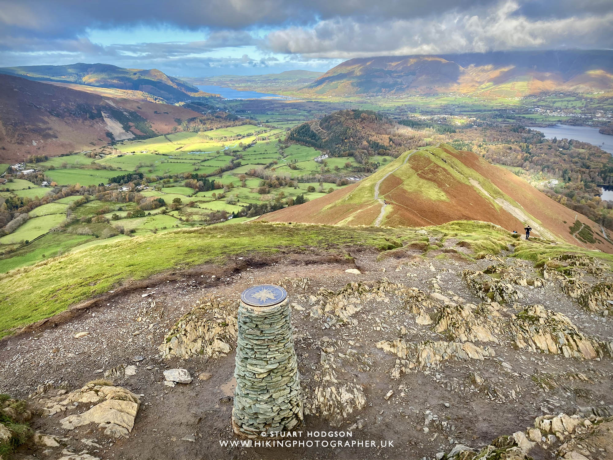 |
| Shifting our view more to the north-west here towards Bassenthwaite Lake |
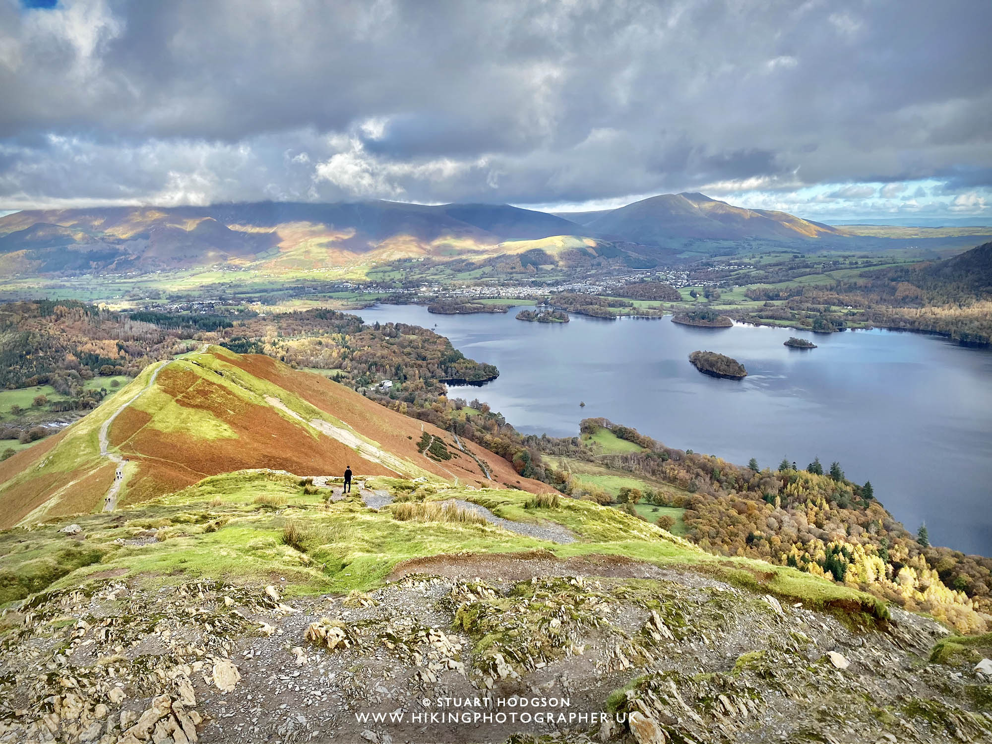 |
| For a quick walk, it maybe took 40 mins to get up here – the views are fantastic and it’s definitely a place to stop, take a rest, grab a bite to eat and a drink and just soak up the views. |
 |
| If we look east from the summit we look over towards Ashness Bridge and Lodore Falls hotel – where the trees give it a very autumnal feel |
 |
| And now looking west from the summit of Catbells towards Robinson, Grasmor and the surrounding fells |
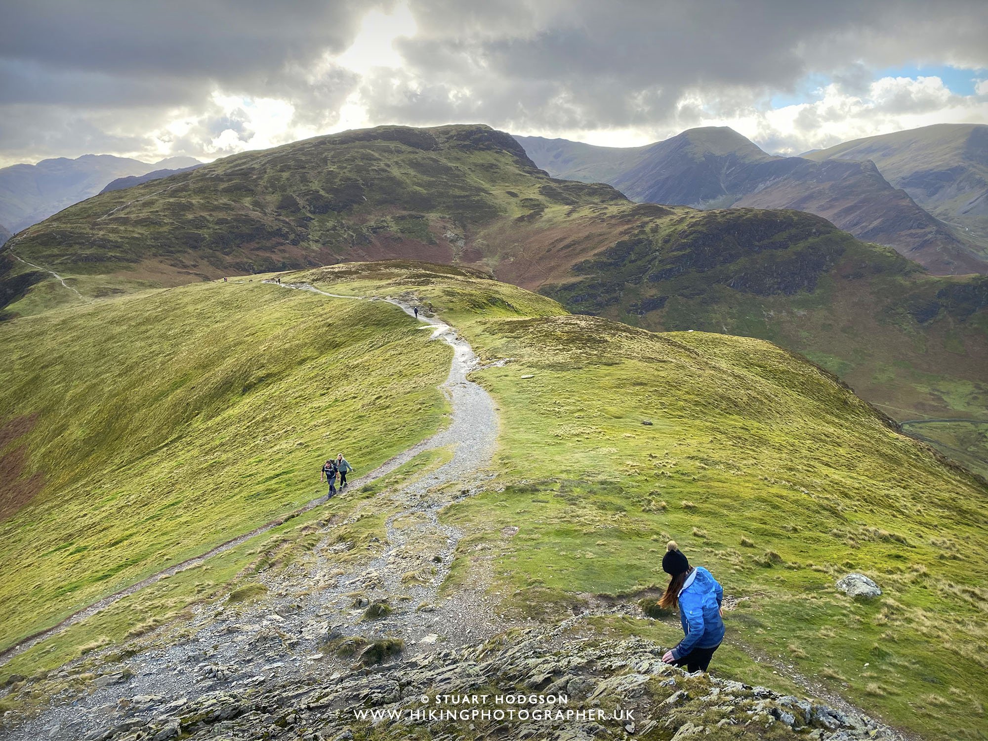 |
| After a 10 min rest we head down from the summit of Catbells via the southern route which is more gentler. |
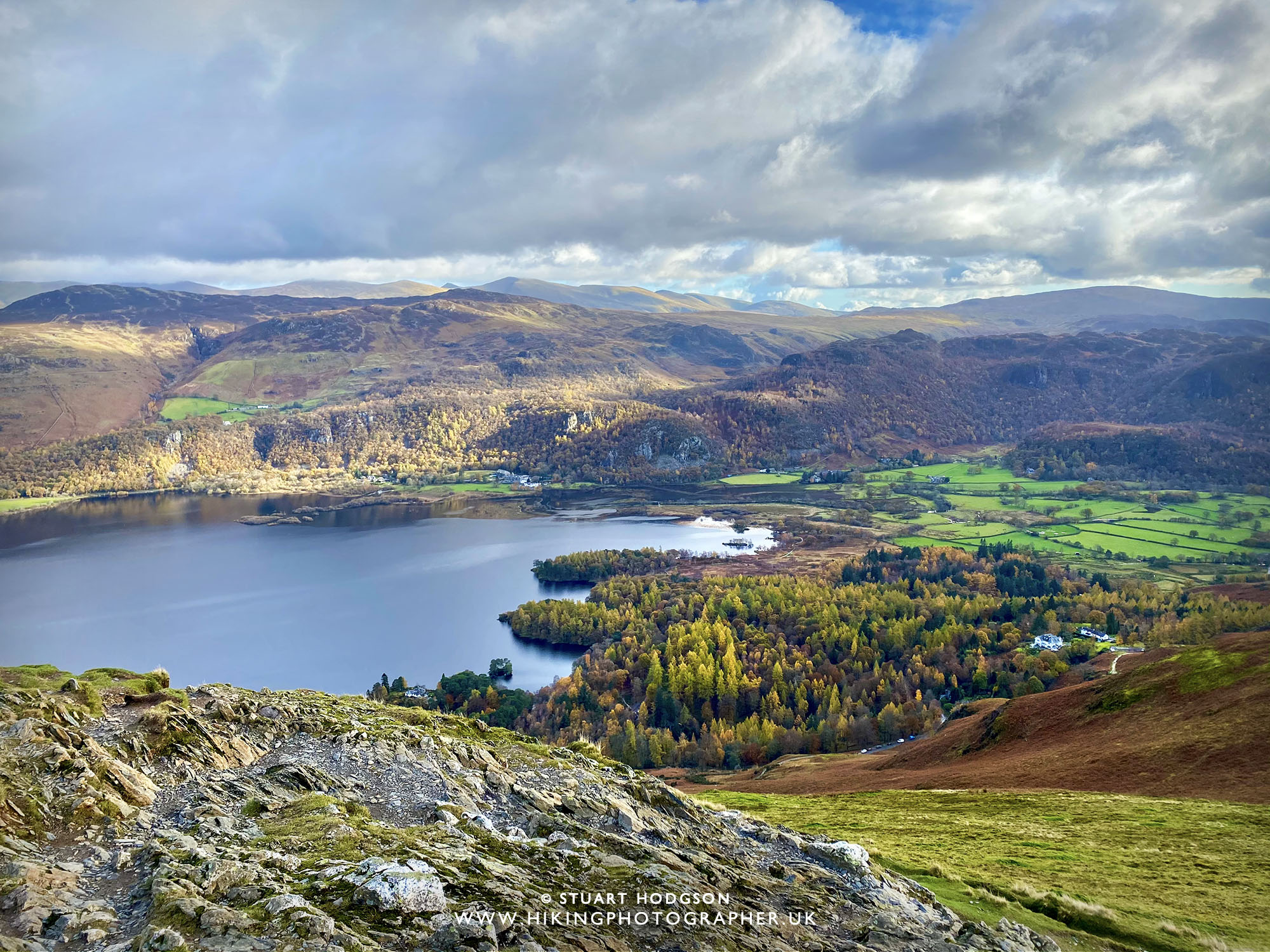 |
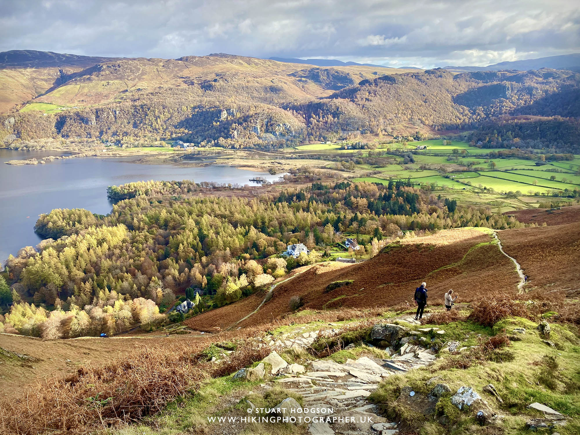
| Looking towards Borrowdale with the autumnal Manesty Forest Park in full view |
|
|
| This is an important junction on the path. If you carry on straight ahead you can extend your walk up to Maiden Moor, but on this particular route – make sure you take the left and descend 😉 |
|
Where to park on a Catbells Walk?
Whilst free to park, there isn’t great deal of car parking spaces at the foot of Skelgil Bank (maybe room for 10 cars or so) which get full quite easily. If this is the case, head along the road to Grange on the eastern edge of Catbells where there are sections where you can park on the roadside, which is what we did (you can just about make out some cars parked on the roadside in the pic below – bottom left of photo). Again there isn’t massive amounts of car parking spaces, so on a weekend with good weather it may prove tricky to find a spot. Tip – get there early or do the walk out of season or mon-fri.
I hope this little blog post sheds some light on what is the best walk up Catbells and for those unfamiliar with the the area it helps you plan your walk. I really recommend Catbells if you are in the Keswick area as it offers some great views. |
|
|





Hey Stuart, great blog! We did this very route to Catbells just the other week and you have explained it really well. I am so glad we came up Skelgil bank first and on to catbells that way, because a) I don't like heights, b) I have a torn ligament and wearing a full leg brace, it just made it that much easier to do that little scramble up rather than coming down it. To be honest I don't think I would have fancied coming up all those stone steps/path, going down them was so much easier! I shall be having gander at your other blogs, to give me some inspiration for our visit in August. Thank you❤
Glad you found the blog post useful in planning your walk – that’s why I do the blog 🙂 Well done for doing it all in your leg brace too as there are some tricky bits. Hope you find more inspiration here for doing your Lake District walks – my favourite place in the world!
Thanks for blog great information, I will try catbells again as only did half way up.
Pleased you found the blog useful up Cat bells – hopefully you get all the way up next time – the views of Derwent Water from the summit are well worth it 🙂
I love your blog. I’m very visual and have wanted to do Catbells for years but felt intimidated. Your information has helped me feel more prepared. My daughter and I have one day in the Lakes and it will fall on the Jubilee weekend! We didn’t plan it that way. How early do you think we would have to start out to get a parking spot on a Saturday?!
Thank you for that great feedback. Don’t be intimidated by Catbells – some sections look worse than they are – just take your time. The parking is an unknown quantity- weekends are busy anyway – bank holidays I expect more so – if you get there before 9am you should be ok. Bit of a lottery though! Enjoy your Catbells Walk
there is a great walk from Thirlmere ? over the hills to watenleth farm , over the bridge at Ashness and on to Suprise view,
I’ve heard of that walk sounds good and considered it before but it’s linear isn’t it?
Great pics and words Stu. We’ve been going to the Lakes for 60 years, since I was 11. Always wanted to do some walks but although don’t like to admit that always doing something else (or too lazy!). Tarn Hows and Brantfell done a few times but nothing as exciting as Catbells yet. We go again in October so may try Catbells then. – Hopefully my Wife’s broken foot and damaged hip are better after her fall down the stairs at home. If she can’t walk down stairs without falling I’ll make sure we are prepared with mobile phones and good gear! Thanks for your advise and notes.
Thanks Ian – that’s great to know it might help you tackle a walk in the Lakes that you haven’t done before. You’ll get some fine views up on Catbells – or if mobility if still an issue – consider Latrigg, also near Keswick – an easy route where you can park fairly near the summit is featured here https://hikingphotographer.uk/2023/07/latrigg-walk-near-keswick-an-easy-quick-route-with-some-of-the-best-lake-district-views-inc-where-to-park.html
Terrified of heights, would it be better for me to do the walk in reverse and then just head back in the same way?
Possibly – although I have done the walk with some one scared of heights – and it wasn’t as bad as they thought (some parts look worse than they are – ie. no sheer drops!) It’s mind over matter – good luck – you’ll be proud of yourself if you do it
We’re up here on holiday from Cornwall for 2 weeks and this is our second year exploring the Lakes and trying to find the best routes that suit us. I can honestly say that for clarity, technical detail, choice and enthusiasm, this is the best source of information we have found. And your photos are cracking. Many thanks. Sarah and Andy. November 2025
Such lovely feedback Sarah – thank you very much. I try to be as helpful as possible to allow others discover Lake District walks and I’m glad they have helped you on your walks. All the best, Stu