
 |
| Swainby is an ideal place to start a walk from in North Yorkshire and this is my favourite circular walking route from Swainby that is on the Cleveland Way for half of it and offers superb views of this area of the North York Moors. Read on to learn more…. |
WALK OVERVIEW:
DISTANCE: 6.7 miles
TIME: 3 hours
TOTAL ASCENT: 1257ft
DIFFICULTY: MODERATE

Swainby circular walk map route:
 |
| This circular walk starts and finishes in Swainby where there is ample free, on-road parking. The route goes in an anti-clockwise direction and you walk on the Cleveland Way for a good chunk of it to the modest summit of 312m on Live Moor. You then head back to Swainby via Wholrlton Hill. |

OS Maps - my Recommended App
I've tried a few map apps on my phone and settled on OS Maps, to access detailed UK Mapping. You can plan, save and download mapo routes, such as those on this site, direct to your phone, and then see where you are exactly on any route even when you have no signal - so you can't get lost! It's helped me discover loads of new walking routes too and you can get a free 2 week trial via the button below.
Swainby walk photos:
 |
| This walk starts and ends in the lovely little North Yorkshire village of Swainby, and there’s 2 pubs in the village too so you can enjoy a well earned drink at the end of the walk. |
 |
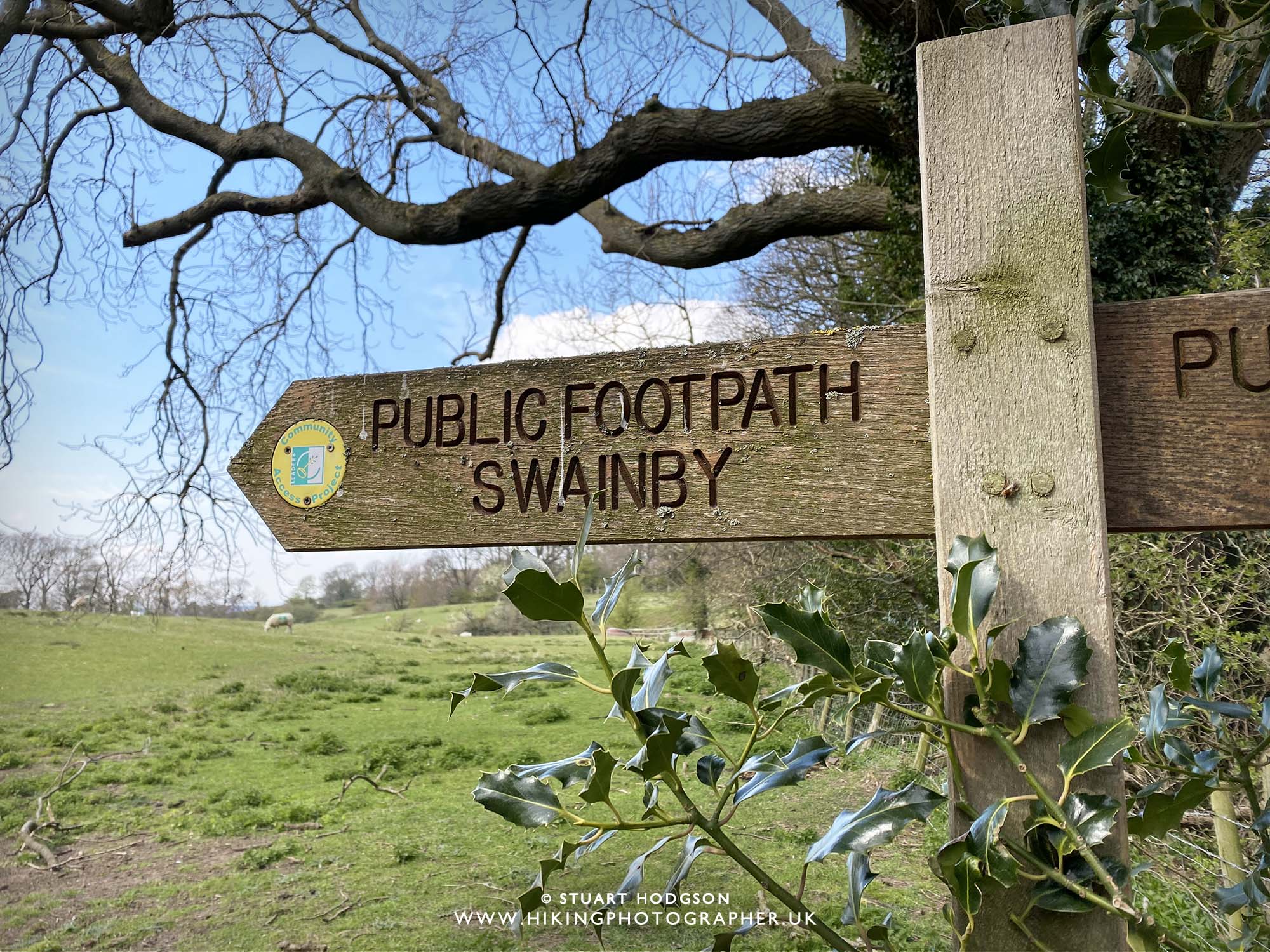
| You’ll head south out of the village on this minor road until you come off it and take the footpath here on your left |
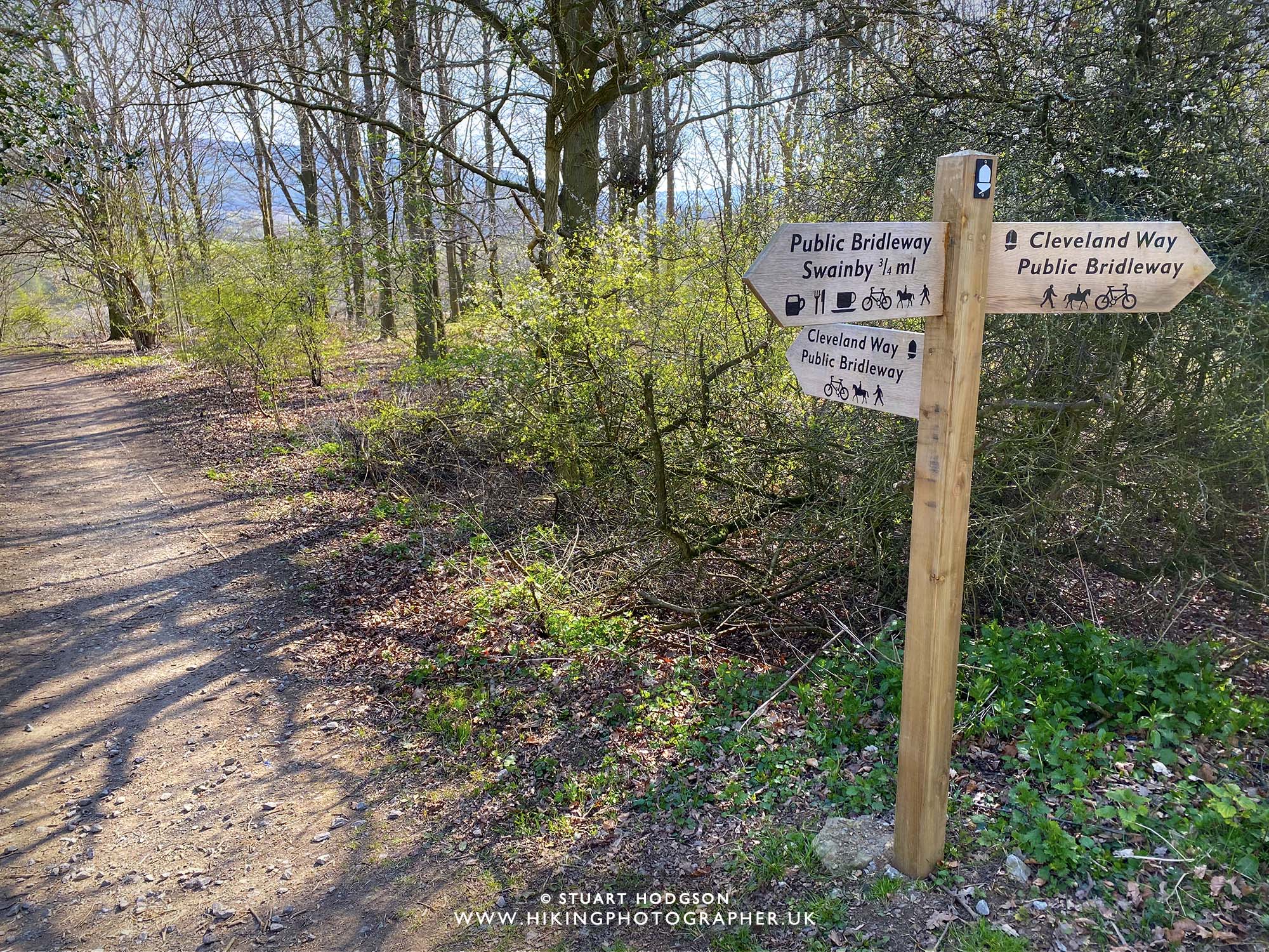 |
| It isn’t long until your on the Cleveland Way – just make sure you go left and not right 🙂 |
 |
| Walking along the Cleveland Way |
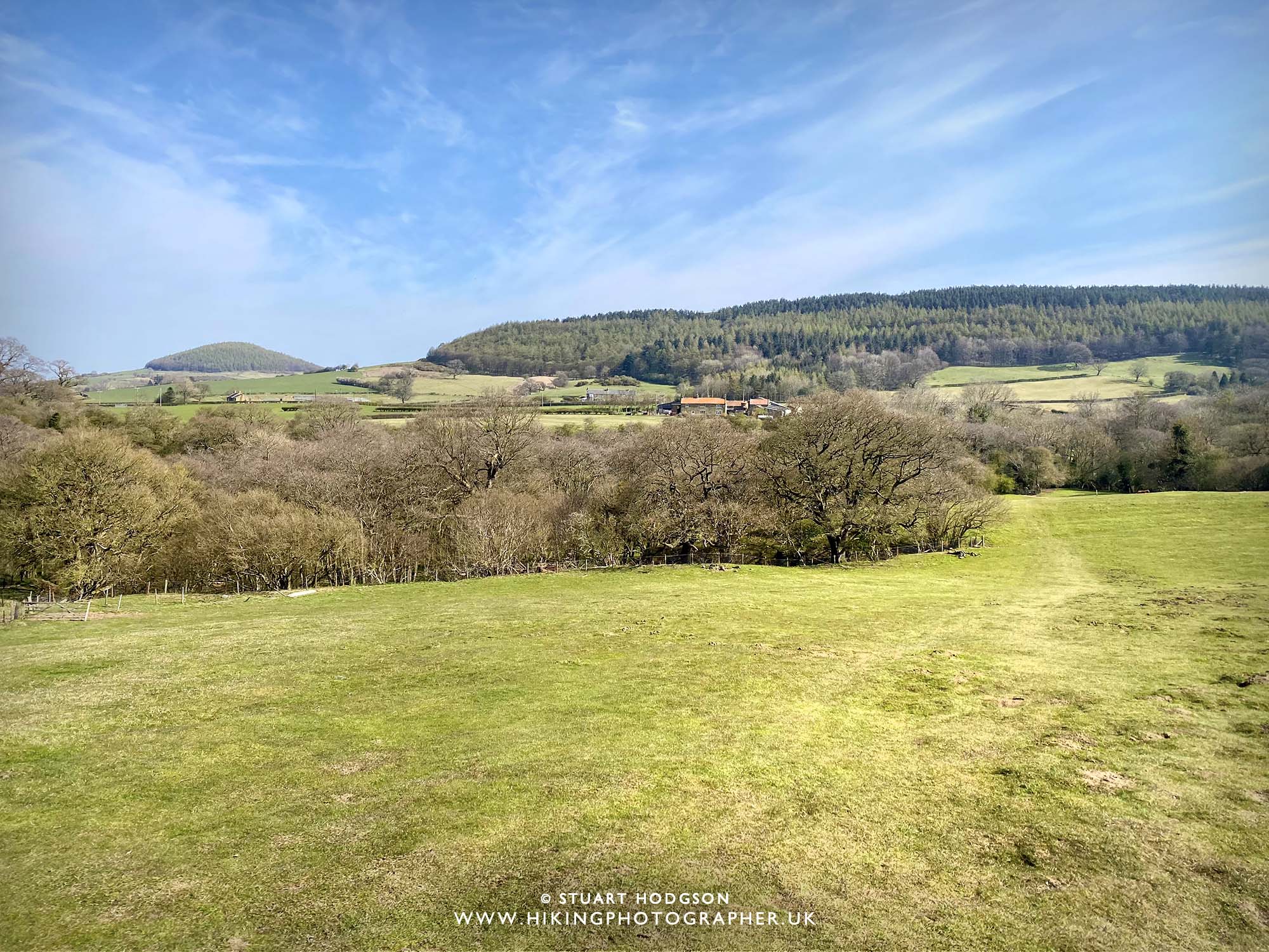 |
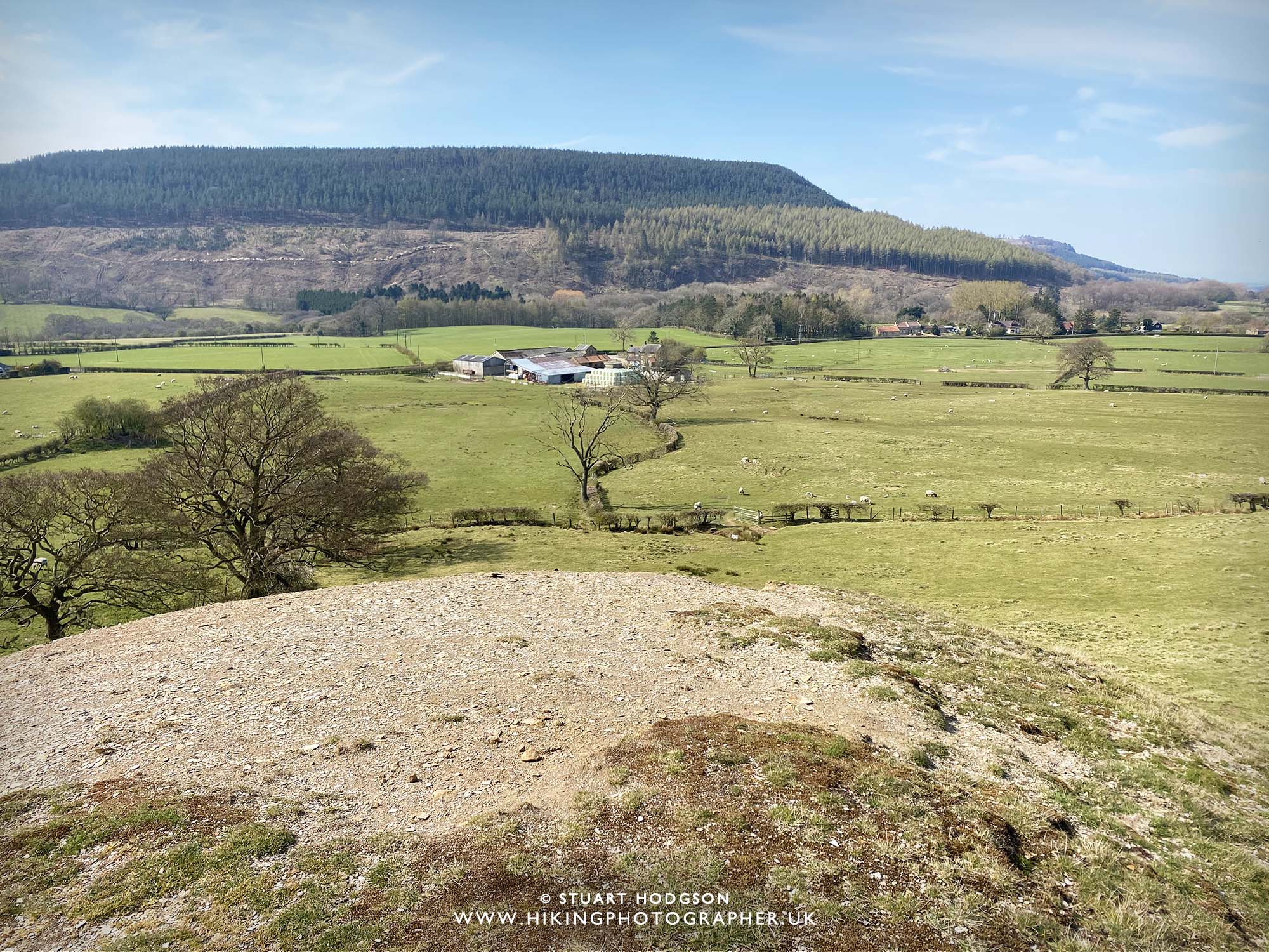
| Still on the Cleveland Way, we now cross the field towards Heathwaite. Just above the treeline above the farm house in the distance is the summit of Live Moor which we are heading towards. In the far distance to the left is Whorlton Hill which we’ll head too from Live Moor |
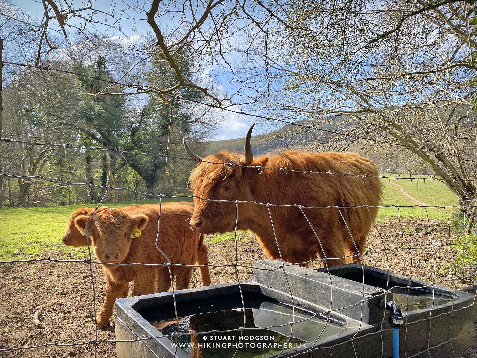 |
| Didn’t expect to see some Highland Cattle here! |
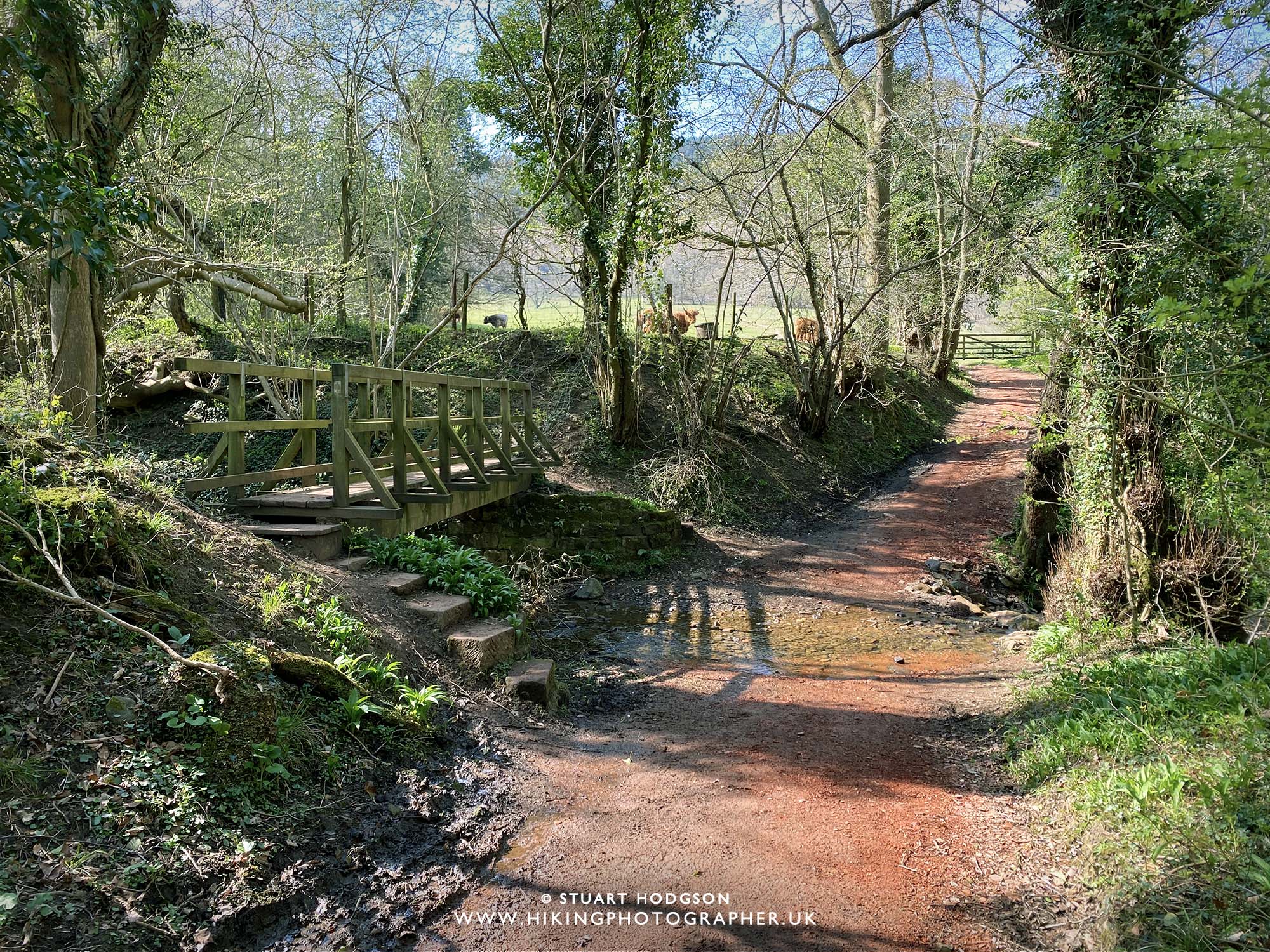 |
| Crossing the ford at Hollin Hill |
 |
| Looking back to where we have just walked from |
 |
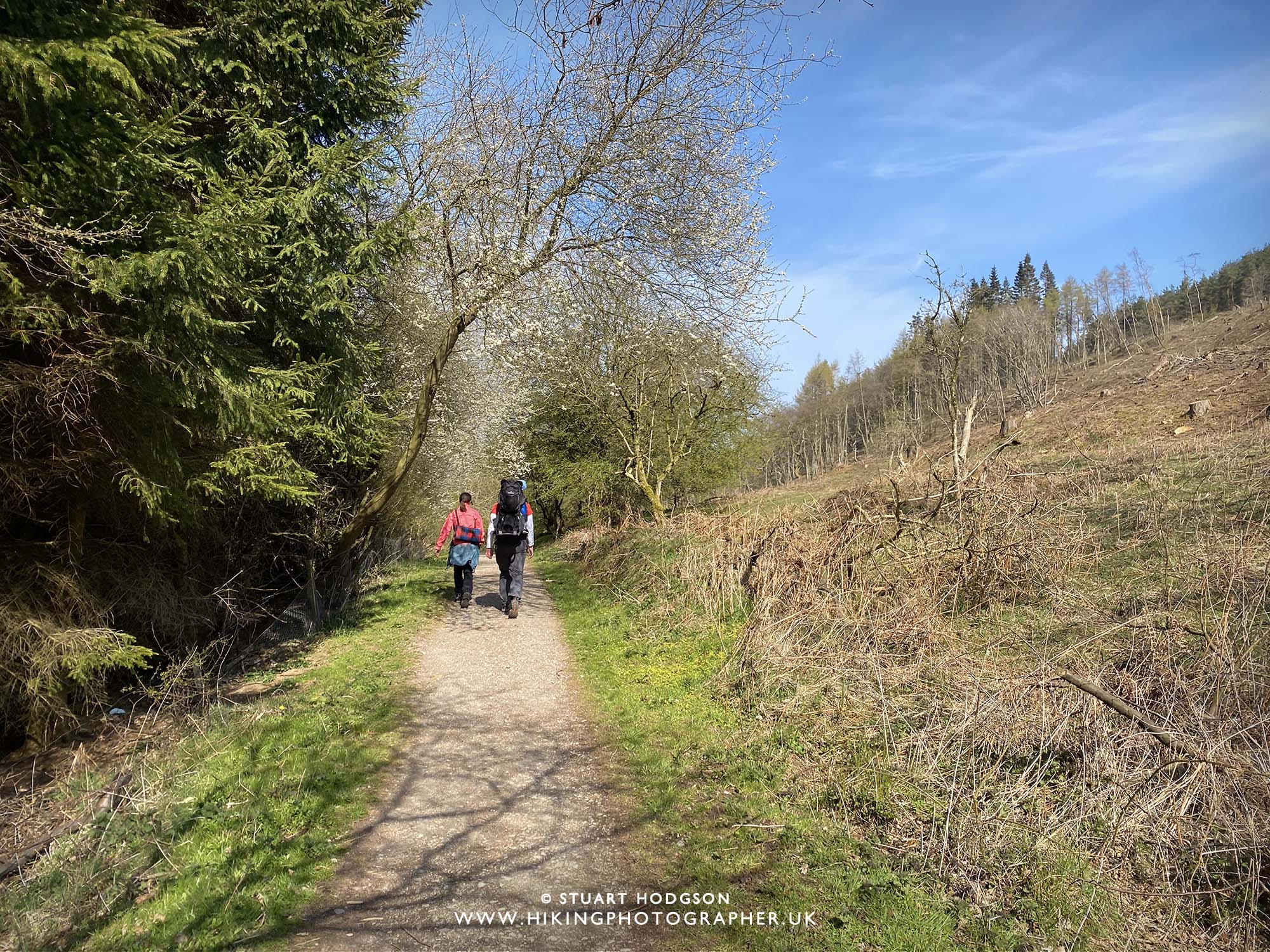
| Time to take the path up to Live Moor now – this is the steepest up-hill section of the walk – but not too difficult |
 |
| Getting good views now – and we can see Roseberry Topping in the far distance |
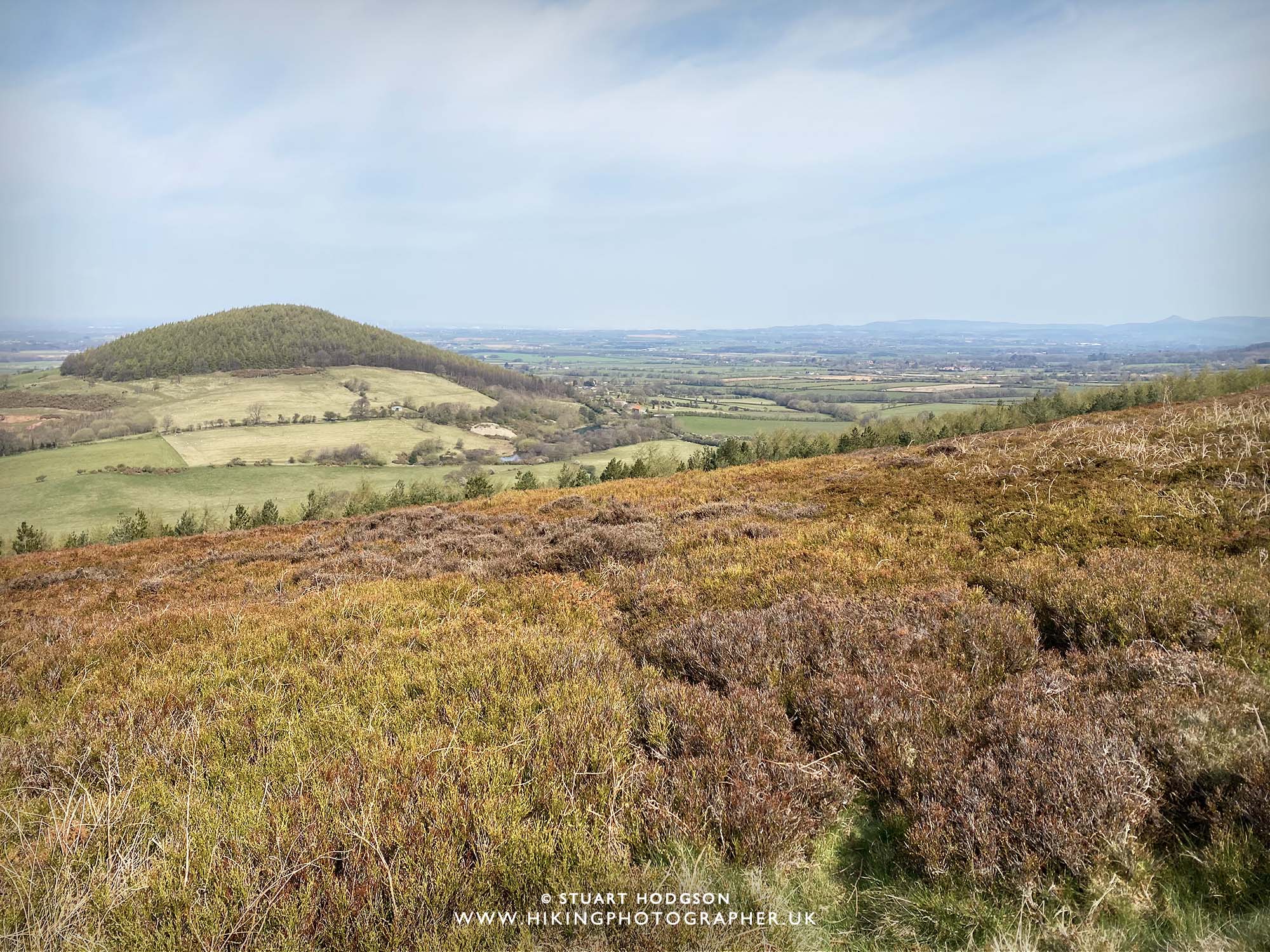 |
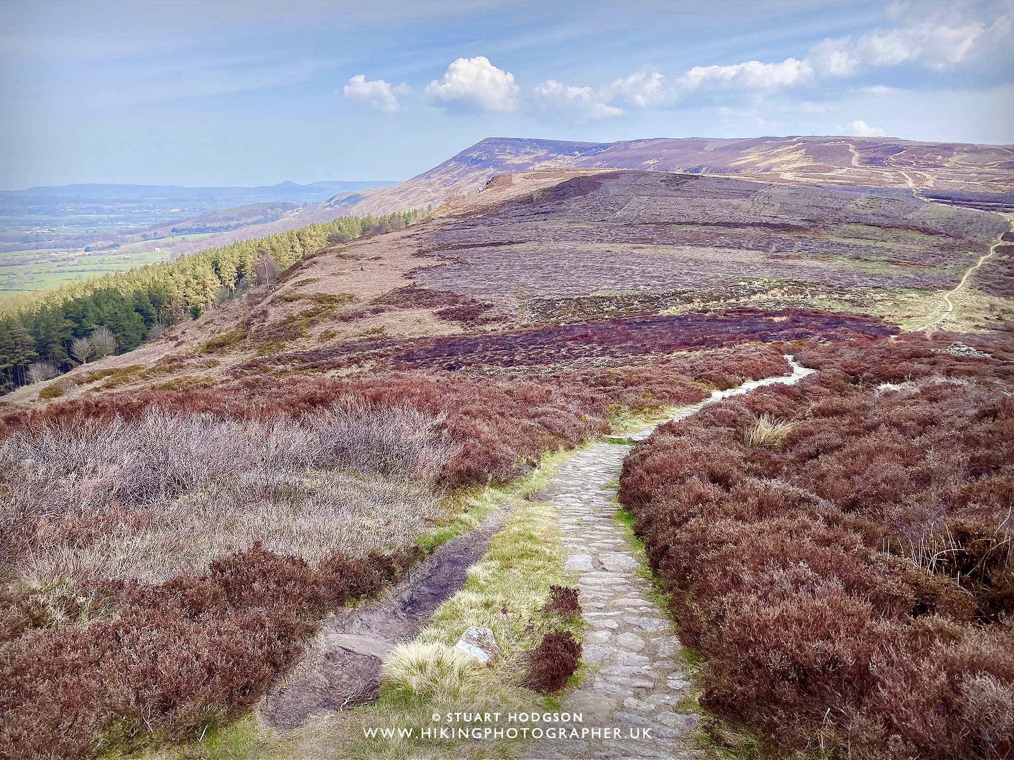
| Looking over to Whorlton Hill which we’ll head too shortly |
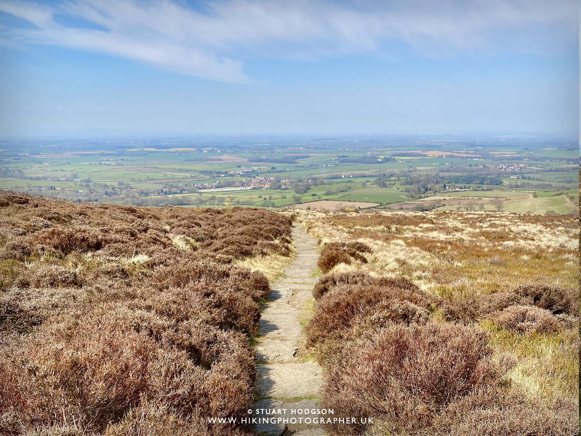 |
| Looking back down the Cleveland Way towards Swainby |
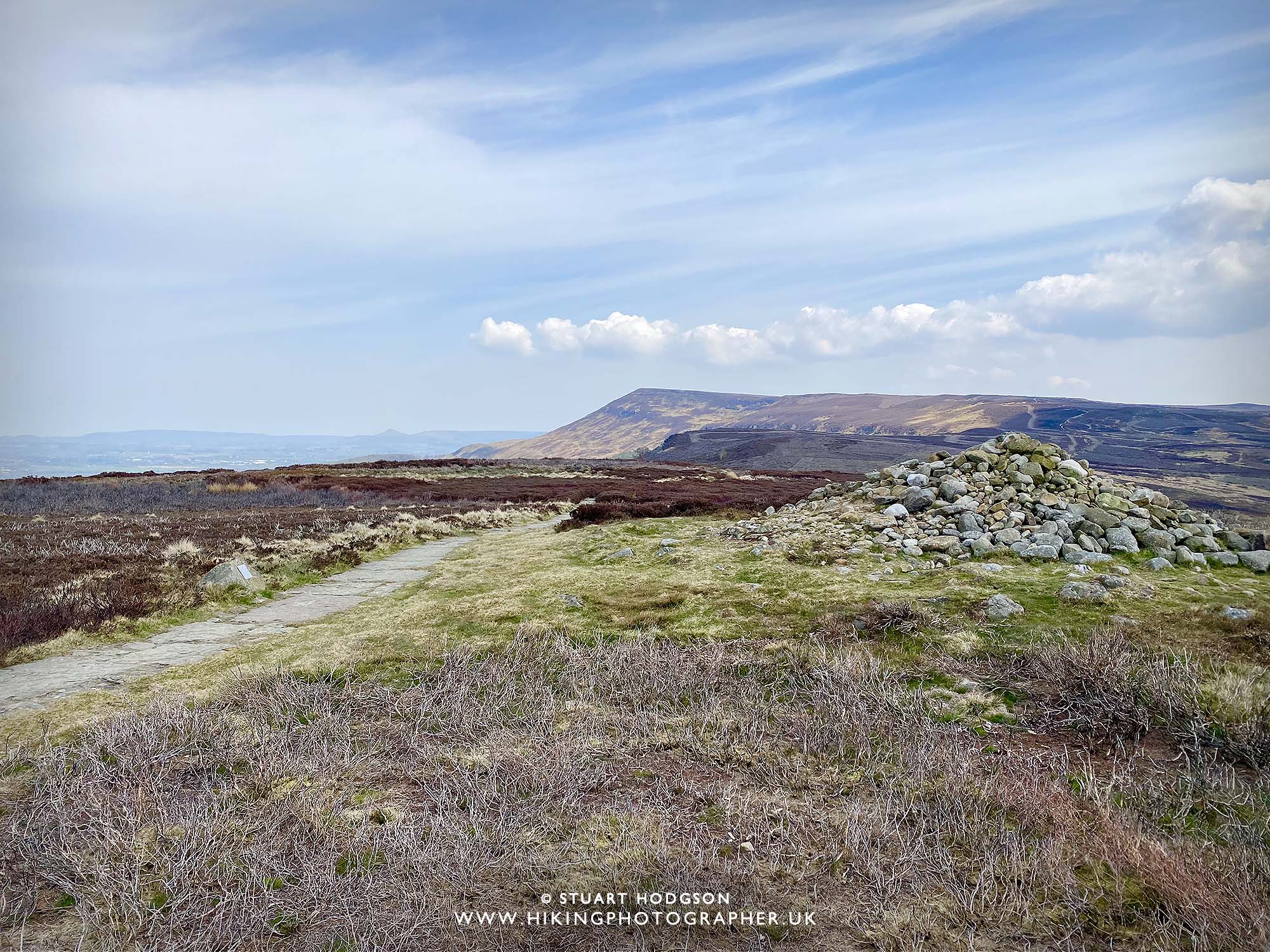 |
| Carlton Bank comes into view now – and a random pile of stones which looks like a Cairn |
 |
| Turns out that pile of stones is an ancient burial mound! |
 |
| We are still on the Cleveland Way but will come off it in 200m or so |
 |
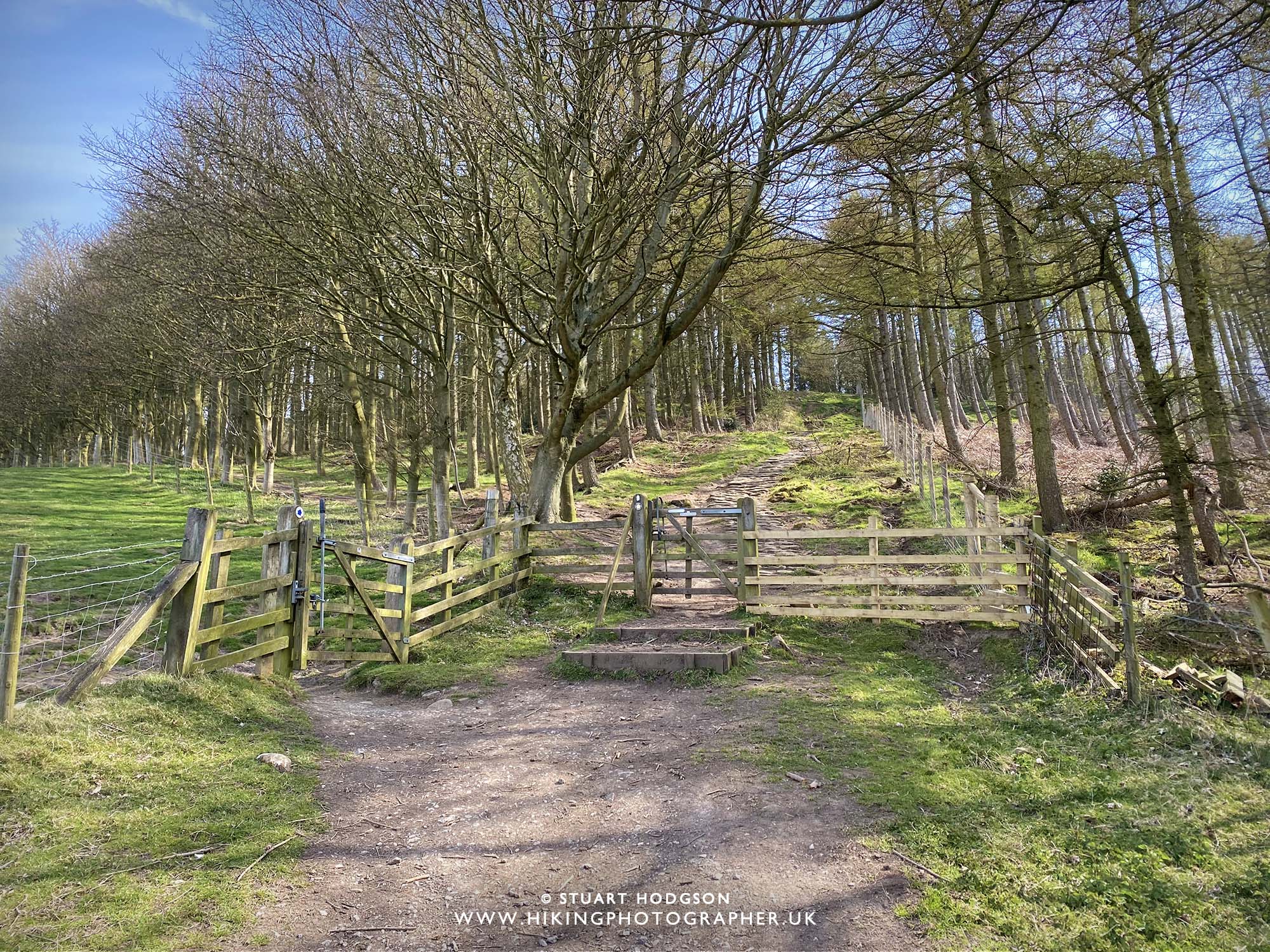
| We come off the Cleveland Way and start heading for Whorlton Hill |
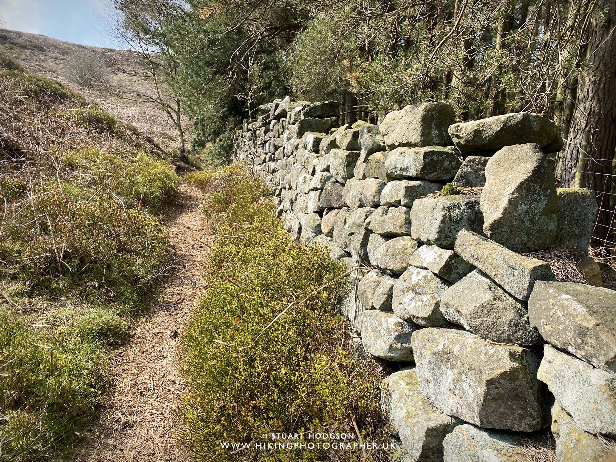 |
| We now follow the stone wall then take the path towards Whorlton Hill |
 |
| After skirting around Whorlton Hill – it’s a case of then heading back to Swainby on a nice leisurely stroll for a drink and something to eat 🙂 |


Hello, does this route take you through the fields with cows in, or just past them (with all cows behind fences)?
Hi – we didn’t pass through any fields with cows in on this walk – and the Highland Cattle in the pics where fenced off – hope that helps!
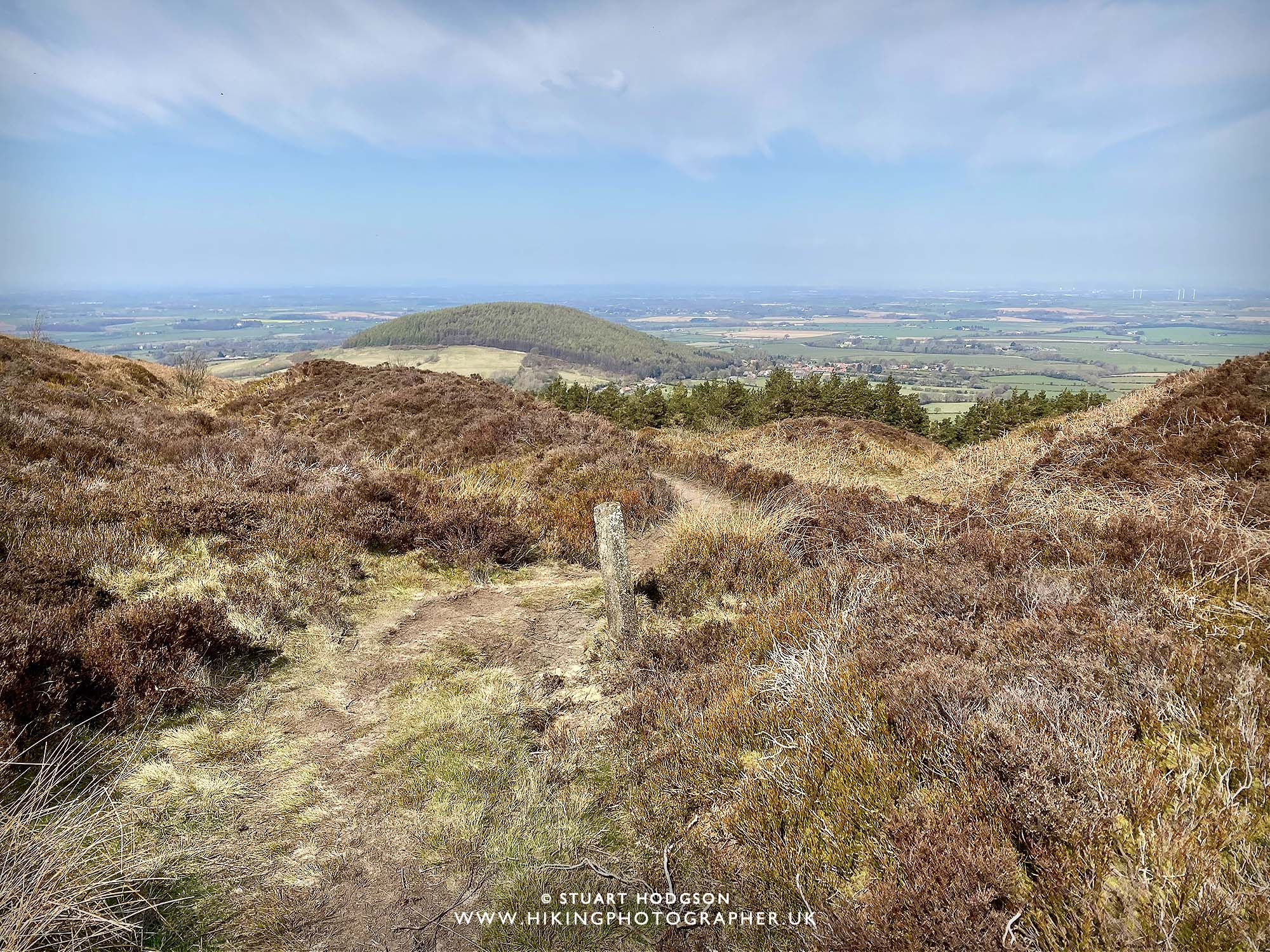
We found it difficult to find the path where you have the photograph with the post on. So we carried on to Lordstones.We didn’t go too far down so maybe we just didn’t go far enough.
Sounds like you added quite a bit more length onto the walk? I’ve just realised this old blog post didn’t have a link on it to view the interactive OS Map – so I have added that now to help anyone else doing this route and keep on track! Phone Map Apps are great to ensure we stick to the route
Sounds like you added quite a bit more length onto the walk? I’ve just realised this blog post didn’t have a link on it to view the interactive OS Map – so I have added that now to help anyone else doing this route and keep on track! Phone Map Apps are great to ensure we stick to the route